How to get to Ranch Mediterranean Market by bus?
Click on the bus route to see step by step directions with maps, line arrival times and updated time schedules.
From University Medical Center, Las Vegas
48 minFrom Sands Expo Convention Center, Paradise
53 minFrom University of Nevada-Las Vegas, Paradise
66 minFrom Spiegeltent at Caesars Palace, Paradise
54 minFrom Carroll Shelby Museum, Enterprise
64 minFrom Cabo Wabo Cantina, Paradise
56 minFrom Target (Target Store Las-Vegas-Flamingo), Paradise
61 minFrom Elara by Hilton Grand Vacations, Paradise
66 minFrom Thomas & Mack Center, Paradise
63 minFrom Craig And Tenaya, Las Vegas
44 min
Bus stops near Ranch Mediterranean Market in Las Vegas
Bus lines to Ranch Mediterranean Market in Las Vegas
What are the closest stations to Ranch Mediterranean Market?
The closest stations to Ranch Mediterranean Market are:
- Wb Sahara After Rainbow is 350 yards away, 5 min walk.
- Sb Rainbow After Sahara is 462 yards away, 6 min walk.
Which bus lines stop near Ranch Mediterranean Market?
These bus lines stop near Ranch Mediterranean Market: 101, SX.
What’s the nearest bus station to Ranch Mediterranean Market in Las Vegas?
The nearest bus station to Ranch Mediterranean Market in Las Vegas is Wb Sahara After Rainbow. It’s a 5 min walk away.
What time is the first bus to Ranch Mediterranean Market in Las Vegas?
The SX is the first bus that goes to Ranch Mediterranean Market in Las Vegas. It stops nearby at 3:02 AM.
What time is the last bus to Ranch Mediterranean Market in Las Vegas?
The SX is the last bus that goes to Ranch Mediterranean Market in Las Vegas. It stops nearby at 3:26 AM.
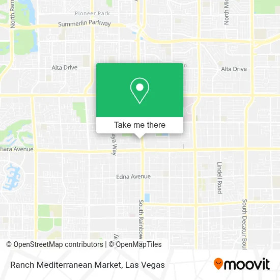
See Ranch Mediterranean Market, Las Vegas, on the map
Public Transit to Ranch Mediterranean Market in Las Vegas
Wondering how to get to Ranch Mediterranean Market in Las Vegas? Moovit helps you find the best way to get to Ranch Mediterranean Market with step-by-step directions from the nearest public transit station.
Moovit provides free maps and live directions to help you navigate through your city. View schedules, routes, timetables, and find out how long does it take to get to Ranch Mediterranean Market in real time.
Looking for the nearest stop or station to Ranch Mediterranean Market? Check out this list of stops closest to your destination: Wb Sahara After Rainbow; Sb Rainbow After Sahara.
Bus: 101, SX.
Want to see if there’s another route that gets you there at an earlier time? Moovit helps you find alternative routes or times. Get directions from and directions to Ranch Mediterranean Market easily from the Moovit App or Website.
We make riding to Ranch Mediterranean Market easy, which is why over 1.7 million users, including users in Las Vegas, trust Moovit as the best app for public transit. You don’t need to download an individual bus app or train app, Moovit is your all-in-one transit app that helps you find the best bus time or train time available.
For information on prices of bus and Monorail, costs and ride fares to Ranch Mediterranean Market, please check the Moovit app.
Use the app to navigate to popular places including to the airport, hospital, stadium, grocery store, mall, coffee shop, school, college, and university.
Ranch Mediterranean Market Address: 2235 S Rainbow Blvd street in Las Vegas
- Red Rock Harley Davidson,
- Buffet Asia (Buffet at Asia),
- Sahara Avenue & Rainbow Boulevard,
- Sahara and Rainbow Intersection,
- Illuminati tattoo,
- DSR Tools,
- Amazing Thai Massage with Wendy,
- Sahara and torrey pines,
- Bonanza High School,
- Torrey Pines Rehabilitation,
- Magical Forest at Opportunity Village,
- Zombie Bash,
- Charleston / Rainbow,
- Castle Collections,
- Nevada DMV,
- College of Southern Nevada,
- Chique Rock Shop,
- College Of Southern Nevada Charleston Campus,
- S Tenaya Way / W Charleston Blvd,
- Odyssey Charter School
Places Near Ranch Mediterranean Market (Las Vegas)
- Omega Mart, Las Vegas,
- Zak Bagans Haunted Museum, Las Vegas,
- Koolsville Tattoos, Las Vegas,
- Allegiant Stadium, Paradise,
- The Deuce Bus Stop at Fremont St, Las Vegas,
- Arte Museum Las Vegas, Paradise,
- Las Vegas Premium Outlets-North, Enterprise,
- The Neon Museum, Las Vegas,
- Lee Canyon, Las Vegas,
- The Palms Casino Resort, Paradise,
- Gold & Silver Pawn Shop, Las Vegas,
- Welcome To Fabulous Las Vegas Sign, Paradise,
- Las Vegas South Premium Outlets, Enterprise,
- Las Vegas North Premium Outlets, Las Vegas,
- Town Square, Enterprise,
- Trump International Hotel Las Vegas, Paradise,
- Area15, Las Vegas,
- Meow Wolf - Las Vegas (Meow Wolf's Omega Mart), Las Vegas,
- Walmart, Las Vegas,
- Walmart Supercenter, Las Vegas
How to get to popular places in Las Vegas with public transit
Get around Las Vegas by public transit!
Traveling around Las Vegas has never been so easy. See step by step directions as you travel to any attraction, street or major public transit station. View bus and train schedules, arrival times, service alerts and detailed routes on a map, so you know exactly how to get to anywhere in Las Vegas.
When traveling to any destination around Las Vegas use Moovit's Live Directions with Get Off Notifications to know exactly where and how far to walk, how long to wait for your line, and how many stops are left. Moovit will alert you when it's time to get off — no need to constantly re-check whether yours is the next stop.
Wondering how to use public transit in Las Vegas or how to pay for public transit in Las Vegas? Moovit public transit app can help you navigate your way with public transit easily, and at minimum cost. It includes public transit fees, ticket prices, and costs. Looking for a map of Las Vegas public transit lines? Moovit public transit app shows all public transit maps in Las Vegas with all Bus and Monorail routes and stops on an interactive map.
Las Vegas has 2 transit type(s), including: Bus and Monorail, operated by several transit agencies, including RTCSNV, City of Las Vegas, Alvand Transportation, Vegas Airporter, Las Vegas Monorail, FlixBus-us and Greyhound-us