Rancho Santa Fe Rd & La Costa Av stop - Sunday schedule
| Line | Direction | Time |
|---|---|---|
| 304 | Encinitas Station | 7:14 AM |
| 304 | Encinitas Station | 8:36 AM |
| 304 | Encinitas Station | 9:44 AM |
| 304 | Encinitas Station | 10:45 AM |
| 304 | Encinitas Station | 11:44 AM |
| 304 | Encinitas Station | 12:35 PM |
| 304 | Encinitas Station | 1:44 PM |
| 304 | Encinitas Station | 2:46 PM |
| 304 | Encinitas Station | 3:46 PM |
| 304 | Encinitas Station | 4:36 PM |
| 304 | Encinitas Station | 5:44 PM |
| 304 | Encinitas Station | 6:44 PM |
| 304 | Encinitas Station | 7:43 PM |
Directions to Rancho Santa Fe Rd & La Costa Av stop (Carlsbad) with public transit
The following transit lines have routes that pass near Rancho Santa Fe Rd & La Costa Av
 Bus: 304, 604.
How to get to Rancho Santa Fe Rd & La Costa Av stop by bus?
Click on the bus route to see step by step directions with maps, line arrival times and updated time schedules.
Bus stops near Rancho Santa Fe Rd & La Costa Av stop in Carlsbad
- Rancho Santa Fe Rd & Paseo Lupino, 1 min walk,
Bus lines to Rancho Santa Fe Rd & La Costa Av stop in Carlsbad
- 304, Encinitas Station,
- 604, Palomar College,
What are the closest stations to Rancho Santa Fe Rd & La Costa Av?
The closest stations to Rancho Santa Fe Rd & La Costa Av are:
- Rancho Santa Fe Rd & Paseo Lupino stop is 50 yards away, 1 min walk.
Which bus line stops near Rancho Santa Fe Rd & La Costa Av?
304 (Encinitas Station)
What’s the nearest bus station to Rancho Santa Fe Rd & La Costa Av in Carlsbad?
The nearest bus station to Rancho Santa Fe Rd & La Costa Av in Carlsbad is Rancho Santa Fe Rd & Paseo Lupino. It’s a 1 min walk away.
What time is the first bus to Rancho Santa Fe Rd & La Costa Av in Carlsbad?
The 304 is the first bus that goes to Rancho Santa Fe Rd & La Costa Av in Carlsbad. It stops nearby at 4:44 AM.
What time is the last bus to Rancho Santa Fe Rd & La Costa Av in Carlsbad?
The 304 is the last bus that goes to Rancho Santa Fe Rd & La Costa Av in Carlsbad. It stops nearby at 9:08 PM.
Rancho Santa Fe Rd & La Costa Av station
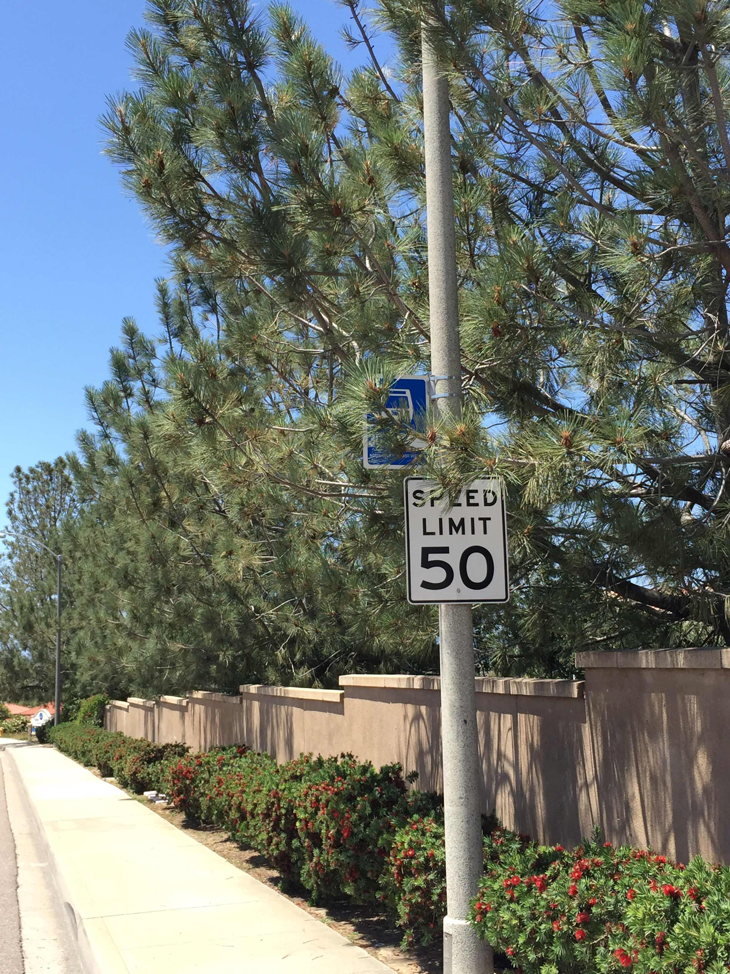 Taken by Anonymous
See Rancho Santa Fe Rd & La Costa Av stop, Carlsbad, on the map
Public transit to Rancho Santa Fe Rd & La Costa Av stop (ID: 24854) in Carlsbad
Looking for directions to Rancho Santa Fe Rd & La Costa Av in Carlsbad, United States?
Download the Moovit App to find the current schedule and step-by-step directions for Bus, Train or Light Rail routes that pass through Rancho Santa Fe Rd & La Costa Av.
Looking for the nearest stops closest to Rancho Santa Fe Rd & La Costa Av ? Check out this list of closest stops to your destination: Rancho Santa Fe Rd & Paseo Lupino.
Bus: 304, 604.
We make riding on public transit to Rancho Santa Fe Rd & La Costa Av easy, which is why over 1.7 billion users, including users in Carlsbad trust Moovit as the best app for public transit.
Use the app to navigate to popular places including to the airport, hospital, stadium, grocery store, mall, coffee shop, school, college, and university.
Rancho Santa Fe Rd & La Costa Av stop’s code is 24854
The first line to this stop is 304, at 7:14 AM, and the last line is 304 at 7:43 PM.
7743 Calle Andar, Carlsbad, CA, USA
This stop serves North County Transit District-Bus’s lines
- Rancho Santa Fe Rd & Paseo Lupino
Bus stop near Rancho Santa Fe Rd & La Costa Av stop
- County Center/Little Italy Station,
- Hwy 94 & Cougar Canyon Dr,
- W Mission Bay Dr & Gleason Rd,
- Black Mountain Rd & Miramar Rd,
- E St & Bonita Rd,
- Escondido Junction,
- Carlsbad Blvd & Beach Tower 32,
- Rancho Bernardo Transit Station,
- San Ysidro Bl & Sunset Ln,
- Camino De La Plaza & Virginia Av,
- Market St & 47th St,
- Balboa Av & Genesee Av,
- Hwy 76 & North River Rd,
- 8th Street Transit Center,
- Poway Rd & 13236,
- National Av & 36th St,
- 30th St & North Park Wy,
- Washington St & Hwy 78,
- Linda Vista Rd & Tait St,
- Melrose Av & Main St
Popular public transit stations in Carlsbad
Get around Carlsbad by public transit!
Traveling around Carlsbad has never been so easy. See step by step directions as you travel to any attraction, street or major public transit station. View bus and train schedules, arrival times, service alerts and detailed routes on a map, so you know exactly how to get to anywhere in Carlsbad.
When traveling to any destination around Carlsbad use Moovit's Live Directions with Get Off Notifications to know exactly where and how far to walk, how long to wait for your line, and how many stops are left. Moovit will alert you when it's time to get off — no need to constantly re-check whether yours is the next stop.
Wondering how to use public transit in Carlsbad or how to pay for public transit in Carlsbad? Moovit public transit app can help you navigate your way with public transit easily, and at minimum cost. It includes public transit fees, ticket prices, and costs. Looking for a map of Carlsbad public transit lines? Moovit public transit app shows all public transit maps in Carlsbad with all Bus, Train, Light Rail, Ferry and Cable Car routes and stops on an interactive map.
San Diego has 5 transit type(s), including: Bus, Train, Light Rail, Ferry and Cable Car, operated by several transit agencies, including MTS-Cable, North County Transit District-Tram, North County Transit District-Rail, MTS-Bus, MTS-Ferry, North County Transit District-Bus, San Diego International Airport, Amtrak, FlixBus-us and Greyhound-us