How to get to Rarco by bus?
Click on the bus route to see step by step directions with maps, line arrival times and updated time schedules.
From Kathy Thousand - Unitedhealthcare Licensed Sales Agent, Cape Coral
96 minFrom BJ's Wholesale Club, Fort Myers
76 minFrom Sachs Harris A MD FCCP, Cape Coral
94 minFrom Popular Community Bank ATM, Fort Myers
67 minFrom Cape Coral Rentals, Cape Coral
31 minFrom FG Auto Service, Cape Coral
100 minFrom Fort Myers, Florida, Fort Myers
71 minFrom Maya Travel Maya Express, Cape Coral
90 minFrom Leonard Attorney Liszewski at Law, Fort Myers
69 min
Bus stops near Rarco in Whiskey Creek
Bus lines to Rarco in Whiskey Creek
What are the closest stations to Rarco?
The closest stations to Rarco are:
- FL Southwestern - College Pkwy @ Fsw Pkwy is 433 yards away, 6 min walk.
- Fsw Pkwy @ College Pkwy-Nb is 617 yards away, 8 min walk.
Which bus lines stop near Rarco?
These bus lines stop near Rarco: 130, 30.
What’s the nearest bus station to Rarco in Whiskey Creek?
The nearest bus station to Rarco in Whiskey Creek is FL Southwestern - College Pkwy @ Fsw Pkwy. It’s a 6 min walk away.
What time is the first bus to Rarco in Whiskey Creek?
The 30 is the first bus that goes to Rarco in Whiskey Creek. It stops nearby at 5:58 AM.
What time is the last bus to Rarco in Whiskey Creek?
The 30 is the last bus that goes to Rarco in Whiskey Creek. It stops nearby at 9:24 PM.
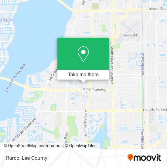
See Rarco, Whiskey Creek, on the map
Public Transit to Rarco in Whiskey Creek
Wondering how to get to Rarco in Whiskey Creek? Moovit helps you find the best way to get to Rarco with step-by-step directions from the nearest public transit station.
Moovit provides free maps and live directions to help you navigate through your city. View schedules, routes, timetables, and find out how long does it take to get to Rarco in real time.
Looking for the nearest stop or station to Rarco? Check out this list of stops closest to your destination: FL Southwestern - College Pkwy @ Fsw Pkwy; Fsw Pkwy @ College Pkwy-Nb.
Bus: 130, 30.
Want to see if there’s another route that gets you there at an earlier time? Moovit helps you find alternative routes or times. Get directions from and directions to Rarco easily from the Moovit App or Website.
We make riding to Rarco easy, which is why over 1.5 million users, including users in Whiskey Creek, trust Moovit as the best app for public transit. You don’t need to download an individual bus app or train app, Moovit is your all-in-one transit app that helps you find the best bus time or train time available.
For information on prices of bus, costs and ride fares to Rarco, please check the Moovit app.
Use the app to navigate to popular places including to the airport, hospital, stadium, grocery store, mall, coffee shop, school, college, and university.
Rarco Address: 6208 Whiskey Creek Dr Fort Myers, FL 33919 street in Whiskey Creek
- Marquis Wealth Management Group,
- Precedent Hospitality and Property Management,
- Conric Pr & Marketing,
- Richards & Associates Orthodontics,
- Dugan Charles C DC,
- Our Little Secret Aesthetics,
- Salon Max & Fi,
- Freedom Clubhouse,
- Health Choice Network,
- Ggray Tennis,
- Freeman Home Designs,
- Integralife Spa,
- Agapé Dental of Southwest Florida,
- Barbara B. Siegel CPA LLC,
- Website Design & Development,
- Creative Soundvision,
- Real Estate by Barbour,
- Lifechanging Counseling Pa,
- Kays All in One Service,
- Libertyx Bitcoin Cashier
Places Near Rarco (Whiskey Creek)
- I-75 & MLK (Exit 138), Fort Myers,
- Edison Mall, Fort Myers,
- Rosa Parks Transportation Center, Fort Myers,
- Ft Myers Airport RSW,
- US-41, Fort Myers,
- All About U Naples Escorts, Pine Ridge,
- Bonita Bay Private Beach Club, Bonita Springs,
- Walmart Supercenter, Fort Myers,
- Miromar Outlets, Estero,
- Flixbus, Fort Myers,
- I-75 & Colonial (Exit 136), Fort Myers,
- Bonita Beach, Bonita Springs,
- Amazon Warehouse Rsw5,
- Lee County Tax Collector, Cape Coral,
- U.S.-41 / Colonial Blvd. Intersection, Fort Myers,
- Bonita Springs, FL, Bonita Springs,
- Matlacha Nude Beach, Matlacha Isles-Matlacha Shores,
- Pelican Landing Beach Shuttle, Bonita Springs,
- Seminole Casino Hotel Immokalee,
- Lehigh Acres, FL, Lehigh Acres
How to get to popular places in Lee County with public transit
Get around Whiskey Creek by public transit!
Traveling around Whiskey Creek has never been so easy. See step by step directions as you travel to any attraction, street or major public transit station. View bus and train schedules, arrival times, service alerts and detailed routes on a map, so you know exactly how to get to anywhere in Whiskey Creek.
When traveling to any destination around Whiskey Creek use Moovit's Live Directions with Get Off Notifications to know exactly where and how far to walk, how long to wait for your line, and how many stops are left. Moovit will alert you when it's time to get off — no need to constantly re-check whether yours is the next stop.
Wondering how to use public transit in Whiskey Creek or how to pay for public transit in Whiskey Creek? Moovit public transit app can help you navigate your way with public transit easily, and at minimum cost. It includes public transit fees, ticket prices, and costs. Looking for a map of Whiskey Creek public transit lines? Moovit public transit app shows all public transit maps in Whiskey Creek with all bus routes and stops on an interactive map.
Lee County has 1 transit type(s), including: bus, operated by several transit agencies, including LeeTran, CAT and FlixBus-us