How to get to Rastrillo by bus?
Click on the bus route to see step by step directions with maps, line arrival times and updated time schedules.
From Hospital Público de Collado Villalba, Collado Villalba
175 minFrom Gran Plaza 2 Majadahonda, Área Metropolitana De Madrid Y Corredor Del Henares
172 minFrom Embalse de San Juan, San Martín De Valdeiglesias
437 minFrom Heron City Madrid, Área Metropolitana De Madrid Y Corredor Del Henares
121 minFrom Polígono P-29, Collado Villalba
144 minFrom Universidad Camilo José Cela (UCJC), Villanueva De La Cañada
140 minFrom The Style Outlets Las Rozas, Las Rozas De Madrid
120 minFrom Universidad Alfonso X El Sabio (UAX), Villanueva De La Cañada
210 minFrom Hospital HM Universitario Torrelodones, Torrelodones
219 min
How to get to Rastrillo by train?
Click on the train route to see step by step directions with maps, line arrival times and updated time schedules.
Bus stop near Rastrillo in Zarzalejo
- Ctra. M-533 - Casa De La Cultura, 3 min walk,VIEW
Train station near Rastrillo in Zarzalejo
- Zarzalejo, 9 min walk,VIEW
Bus lines to Rastrillo in Zarzalejo
What are the closest stations to Rastrillo?
The closest stations to Rastrillo are:
- Ctra. M-533 - Casa De La Cultura is 147 meters away, 3 min walk.
- Zarzalejo is 678 meters away, 9 min walk.
Which bus line stops near Rastrillo?
669A (Est. De Autobuses De S. L. De El Escorial→Ctra. M-533 - Caño Nuevo)
Which train line stops near Rastrillo?
MD (Arévalo)
What’s the nearest train station to Rastrillo in Zarzalejo?
The nearest train station to Rastrillo in Zarzalejo is Zarzalejo. It’s a 9 min walk away.
What’s the nearest bus station to Rastrillo in Zarzalejo?
The nearest bus station to Rastrillo in Zarzalejo is Ctra. M-533 - Casa De La Cultura. It’s a 3 min walk away.
What time is the first train to Rastrillo in Zarzalejo?
The MD is the first train that goes to Rastrillo in Zarzalejo. It stops nearby at 10:27 AM.
What time is the last train to Rastrillo in Zarzalejo?
The REG is the last train that goes to Rastrillo in Zarzalejo. It stops nearby at 11:00 PM.
What time is the first bus to Rastrillo in Zarzalejo?
The 669A is the first bus that goes to Rastrillo in Zarzalejo. It stops nearby at 8:48 AM.
What time is the last bus to Rastrillo in Zarzalejo?
The 669A is the last bus that goes to Rastrillo in Zarzalejo. It stops nearby at 9:51 PM.
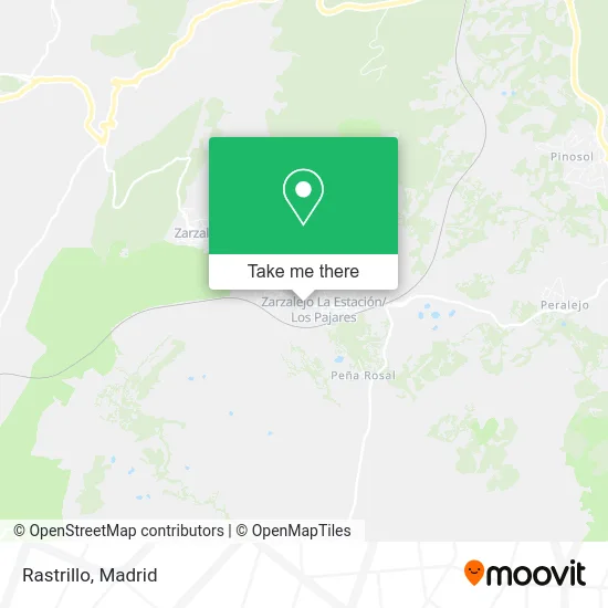
See Rastrillo, Zarzalejo, on the map
Public Transit to Rastrillo in Zarzalejo
Wondering how to get to Rastrillo in Zarzalejo? Moovit helps you find the best way to get to Rastrillo with step-by-step directions from the nearest public transit station.
Moovit provides free maps and live directions to help you navigate through your city. View schedules, routes, timetables, and find out how long does it take to get to Rastrillo in real time.
Looking for the nearest stop or station to Rastrillo? Check out this list of stops closest to your destination: Ctra. M-533 - Casa De La Cultura; Zarzalejo.
Bus: 669A, 666.Train: MD, C8A, REG.
Want to see if there’s another route that gets you there at an earlier time? Moovit helps you find alternative routes or times. Get directions from and directions to Rastrillo easily from the Moovit App or Website.
We make riding to Rastrillo easy, which is why over 1.5 million users, including users in Zarzalejo, trust Moovit as the best app for public transit. You don’t need to download an individual bus app or train app, Moovit is your all-in-one transit app that helps you find the best bus time or train time available.
For information on prices of bus, train and metro, costs and ride fares to Rastrillo, please check the Moovit app.
Use the app to navigate to popular places including to the airport, hospital, stadium, grocery store, mall, coffee shop, school, college, and university.
Rastrillo Address: Avenida de la Estación, 82 28293 La Estación y Pajares Zarzalejo street in Zarzalejo
- Calle de la Herrería 1,
- Zarzalejo estación,
- La Churrería de Zarzalejo,
- Plaza Mayor De Zarzalejo Estacion,
- La Zarzamora,
- Papeler@a Mar@a Jos@,
- Expendeduria Número 1,
- Amazon Counter-Papeleria Mâ Jose,
- Linmaster Servicios Integrales,
- Asociación De Vecinos La Machota,
- Miguel Angel Garcia,
- Hosteleria y Restaurac,
- Piscina Zarzalejo Paradise Piscina,
- Udaco,
- Correos,
- Zunder,
- Casa Rural,
- Alejandra Calvo Fernández,
- Puerto de la Cruz Verde,
- Bar Transilvania
Places Near Rastrillo (Zarzalejo)
- Mendez Alvaro, Madrid,
- Plenilunio, Área Metropolitana De Madrid Y Corredor Del Henares,
- Palacio De Vistalegre, Área Metropolitana De Madrid Y Corredor Del Henares,
- Estacion de Chamartin, Madrid,
- Nassica, Área Metropolitana De Madrid Y Corredor Del Henares,
- Centro Comercial Islazul, Área Metropolitana De Madrid Y Corredor Del Henares,
- Rastro De Madrid, Área Metropolitana De Madrid Y Corredor Del Henares,
- Sala La Riviera, Madrid,
- Tres Aguas, Alcorcón,
- Wizink Center, Madrid,
- Centro Comercial Oasiz Madrid, Área Metropolitana De Madrid Y Corredor Del Henares,
- Centro Comercial La Vaguada, Área Metropolitana De Madrid Y Corredor Del Henares,
- Calle de López de Hoyos 169, Madrid,
- Centro Comercial La Gavia, Área Metropolitana De Madrid Y Corredor Del Henares,
- Mercadillo de Majadahonda, Majadahonda,
- Plaza Mayor, Madrid,
- Estadio Wanda Metropolitano, Área Metropolitana De Madrid Y Corredor Del Henares,
- Hospital Universitario La Paz, Madrid,
- Hospital Clínico Universitario San Carlos, Madrid,
- Hospital Universitario Ramón y Cajal, Madrid
How to get to popular places in Madrid with public transit
Get around Zarzalejo by public transit!
Traveling around Zarzalejo has never been so easy. See step by step directions as you travel to any attraction, street or major public transit station. View bus and train schedules, arrival times, service alerts and detailed routes on a map, so you know exactly how to get to anywhere in Zarzalejo.
When traveling to any destination around Zarzalejo use Moovit's Live Directions with Get Off Notifications to know exactly where and how far to walk, how long to wait for your line, and how many stops are left. Moovit will alert you when it's time to get off — no need to constantly re-check whether yours is the next stop.
Wondering how to use public transit in Zarzalejo or how to pay for public transit in Zarzalejo? Moovit public transit app can help you navigate your way with public transit easily, and at minimum cost. It includes public transit fees, ticket prices, and costs. Looking for a map of Zarzalejo public transit lines? Moovit public transit app shows all public transit maps in Zarzalejo with all Bus, Train, Metro and Light Rail routes and stops on an interactive map.
Madrid has 4 transit type(s), including: Bus, Train, Metro and Light Rail, operated by several transit agencies, including Metro de Madrid, Metro Ligero, Tranvía de Parla, Renfe Cercanías - Servicios de Autobús especiales, Renfe Cercanias, Renfe Cercanías, EMT, Interurbanos, Urbanos de Alcalá de Henares, Urbanos de Alcobendas, Urbanos de Alcorcón, Urbanos de Algete, Urbanos de Aranjuez, Urbanos de Arganda del Rey and Urbanos de Arroyomolinos