How to get to Rate by bus?
Click on the bus route to see step by step directions with maps, line arrival times and updated time schedules.
From Hca Florida Lawnwood Hospital, Fort Pierce
77 minFrom Tradition Park, Port St. Lucie
135 minFrom Suncoast Community High School, Riviera Beach
196 minFrom Donald Ross Rd / Military Trl, Jupiter
168 minFrom Indian River State College, Fort Pierce
94 minFrom Clover Park, Port St. Lucie
140 minFrom US-1, Fort Pierce
36 minFrom Stuart, Florida, Stuart
44 minFrom Suncoast High School, Riviera Beach
192 minFrom William T. Dwyer High School, Jupiter
182 min
Bus stops near Rate in Miami
Bus lines to Rate in Miami
What are the closest stations to Rate?
The closest stations to Rate are:
- SE Lennard Rd & SE Mariposa Ave is 541 yards away, 7 min walk.
- WALMART (PSL) is 866 yards away, 11 min walk.
- SE Lennard Rd & US Hwy 1 is 867 yards away, 11 min walk.
Which bus lines stop near Rate?
These bus lines stop near Rate: 1, 4.
What’s the nearest bus station to Rate in Miami?
The nearest bus station to Rate in Miami is SE Lennard Rd & SE Mariposa Ave. It’s a 7 min walk away.
What time is the first bus to Rate in Miami?
The 1 is the first bus that goes to Rate in Miami. It stops nearby at 6:00 AM.
What time is the last bus to Rate in Miami?
The 1 is the last bus that goes to Rate in Miami. It stops nearby at 8:00 PM.
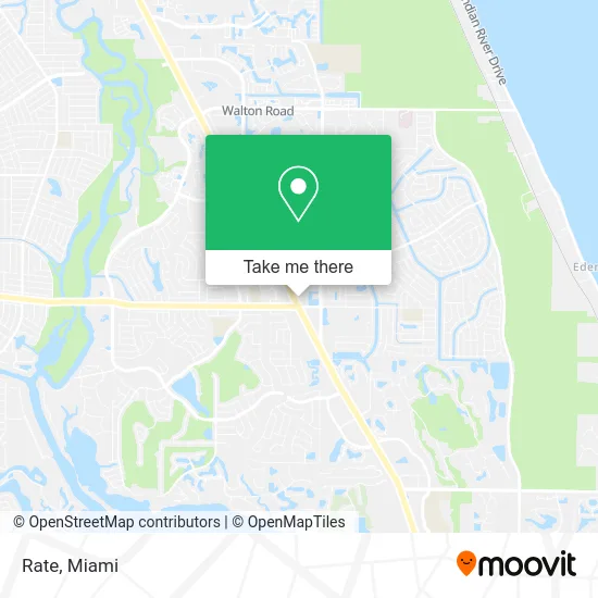
See Rate, Miami, on the map
Public Transit to Rate in Miami
Wondering how to get to Rate in Miami? Moovit helps you find the best way to get to Rate with step-by-step directions from the nearest public transit station.
Moovit provides free maps and live directions to help you navigate through your city. View schedules, routes, timetables, and find out how long does it take to get to Rate in real time.
Looking for the nearest stop or station to Rate? Check out this list of stops closest to your destination: SE Lennard Rd & SE Mariposa Ave; WALMART (PSL); SE Lennard Rd & US Hwy 1.
Bus: 1, 4.
Want to see if there’s another route that gets you there at an earlier time? Moovit helps you find alternative routes or times. Get directions from and directions to Rate easily from the Moovit App or Website.
We make riding to Rate easy, which is why over 1.5 million users, including users in Miami, trust Moovit as the best app for public transit. You don’t need to download an individual bus app or train app, Moovit is your all-in-one transit app that helps you find the best bus time or train time available.
For information on prices of bus, costs and ride fares to Rate, please check the Moovit app.
Get to Rate with public transit and pay for the ride in the Moovit app. In addition to all info you may need for your trip to Rate, including live directions, real-time arrivals and fare prices, you can also buy public transit passes for your rides. No need for cash or paper tickets to get to Rate - everything you need is accessible in the app with a click of the button.
Use the app to navigate to popular places including to the airport, hospital, stadium, grocery store, mall, coffee shop, school, college, and university.
Rate Address: 10570 S US Highway 1 Port St Lucie, FL 34952 street in Miami
- James Cannata - Acopia Home Loans NMLS,
- Caring Hands Home Care Fl,
- Brazilian Wax & Sugar Center,
- Peacocks Pantry and Plume,
- Rebel,
- US-1 / SE Port St Lucie Blvd,
- McGavin Sales,
- Smokin Bunz BBQ,
- Labitax,
- Andrelic,
- Minute Key,
- Mavis Discount Tire,
- Curso de Taxes,
- Botanica Shango Y Oshun,
- Florida Medical Center,
- Nilda Hair,
- Day Spa,
- The Worship Center Church of God,
- Extra Space Storage,
- Athans Hairstyling
Places Near Rate (Miami)
- Wynwood, Miami,
- Port of Miami Cruise Terminal, Miami,
- Keiser University Flagship Campus, West Palm Beach,
- Little Havana, Miami,
- Miami VA Hospital, Miami,
- Brickell City Centre, Miami,
- Marlins Park, Miami,
- Miami Freedom Park, Miami,
- Aventura Mall, Miami,
- Bayside Marketplace, Miami,
- Richard E. Gerstein Justice Building, Miami,
- Miami-Dade County Courthouse, Miami,
- Zoo Miami, Miami,
- Miami Design District, Miami,
- Aventura Mall, Miami Beach,
- Hard Rock Stadium, Miami Gardens,
- Sawgrass mall ( FL ), Miami Beach,
- Dolphin Mall Bus, Miami,
- Dolphin Mall, Miami,
- Sawgrass Mall, Miami
How to get to popular places in Miami with public transit
Get around Miami by public transit!
Traveling around Miami has never been so easy. See step by step directions as you travel to any attraction, street or major public transit station. View bus and train schedules, arrival times, service alerts and detailed routes on a map, so you know exactly how to get to anywhere in Miami.
When traveling to any destination around Miami use Moovit's Live Directions with Get Off Notifications to know exactly where and how far to walk, how long to wait for your line, and how many stops are left. Moovit will alert you when it's time to get off — no need to constantly re-check whether yours is the next stop.
Wondering how to use public transit in Miami or how to pay for public transit in Miami? Moovit public transit app can help you navigate your way with public transit easily, and at minimum cost. It includes public transit fees, ticket prices, and costs. Looking for a map of Miami public transit lines? Moovit public transit app shows all public transit maps in Miami with all Bus, Train, Light Rail and Ferry routes and stops on an interactive map.
Miami has 4 transit type(s), including: Bus, Train, Light Rail and Ferry, operated by several transit agencies, including Broward County Transit, Miami-Dade Transit, Metrorail, Palm Tran, Tri-Rail, Brightline, MARTY, City of Homestead Trolley, Key West Transit, Treasure Coast Connector, GoLine IRT, Amtrak, Greyhound-us, FlixBus-us and Aventura Express Shuttle Bus