How to get to Rb Wellness Clinic by bus?
Click on the bus route to see step by step directions with maps, line arrival times and updated time schedules.
From S Rampart Blvd / W Charleston Blvd, Las Vegas
32 minFrom Carroll Shelby Museum, Enterprise
68 minFrom S Fort Apache Rd / W Charleston Blvd, Las Vegas
32 minFrom Ellis Island Las Vegas Nevada, Paradise
35 minFrom AMC Theatres-Town Square 18, Enterprise
63 minFrom Veterinary Emergency Group, Las Vegas
38 minFrom N Lamb Blvd / E Charleston Blvd, Las Vegas
49 minFrom Bluegreen Club 36, Paradise
48 minFrom The Meadows School, Las Vegas
59 minFrom Cheyenne Exit off the 95, Las Vegas
44 min
Bus stops near Rb Wellness Clinic in Las Vegas
Monorail station near Rb Wellness Clinic in Las Vegas
- Sls Station, 18 min walk,VIEW
Bus lines to Rb Wellness Clinic in Las Vegas
What are the closest stations to Rb Wellness Clinic?
The closest stations to Rb Wellness Clinic are:
- Sb Rancho After Palomino is 430 yards away, 5 min walk.
- Eb Charleston After Campbell is 855 yards away, 11 min walk.
- Wb Alta Before Campbell is 1029 yards away, 13 min walk.
- Sls Station is 1465 yards away, 18 min walk.
Which bus lines stop near Rb Wellness Clinic?
These bus lines stop near Rb Wellness Clinic: 119, 206.
What’s the nearest bus station to Rb Wellness Clinic in Las Vegas?
The nearest bus station to Rb Wellness Clinic in Las Vegas is Sb Rancho After Palomino. It’s a 5 min walk away.
What’s the nearest Monorail station to Rb Wellness Clinic in Las Vegas?
The nearest Monorail station to Rb Wellness Clinic in Las Vegas is Sls Station. It’s a 18 min walk away.
What time is the first bus to Rb Wellness Clinic in Las Vegas?
The 206 is the first bus that goes to Rb Wellness Clinic in Las Vegas. It stops nearby at 3:06 AM.
What time is the last bus to Rb Wellness Clinic in Las Vegas?
The 206 is the last bus that goes to Rb Wellness Clinic in Las Vegas. It stops nearby at 3:41 AM.
What time is the first Monorail to Rb Wellness Clinic in Las Vegas?
The LVM is the first Monorail that goes to Rb Wellness Clinic in Las Vegas. It stops nearby at 7:00 AM.
What time is the last Monorail to Rb Wellness Clinic in Las Vegas?
The LVM is the last Monorail that goes to Rb Wellness Clinic in Las Vegas. It stops nearby at 12:02 AM.
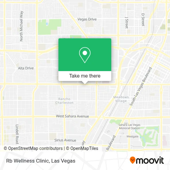
See Rb Wellness Clinic, Las Vegas, on the map
Public Transit to Rb Wellness Clinic in Las Vegas
Wondering how to get to Rb Wellness Clinic in Las Vegas? Moovit helps you find the best way to get to Rb Wellness Clinic with step-by-step directions from the nearest public transit station.
Moovit provides free maps and live directions to help you navigate through your city. View schedules, routes, timetables, and find out how long does it take to get to Rb Wellness Clinic in real time.
Looking for the nearest stop or station to Rb Wellness Clinic? Check out this list of stops closest to your destination: Sb Rancho After Palomino; Eb Charleston After Campbell; Wb Alta Before Campbell; Sls Station.
Bus: 119, 206, 207.Monorail: LVM.
Want to see if there’s another route that gets you there at an earlier time? Moovit helps you find alternative routes or times. Get directions from and directions to Rb Wellness Clinic easily from the Moovit App or Website.
We make riding to Rb Wellness Clinic easy, which is why over 1.7 million users, including users in Las Vegas, trust Moovit as the best app for public transit. You don’t need to download an individual bus app or train app, Moovit is your all-in-one transit app that helps you find the best bus time or train time available.
For information on prices of bus, costs and ride fares to Rb Wellness Clinic, please check the Moovit app.
Use the app to navigate to popular places including to the airport, hospital, stadium, grocery store, mall, coffee shop, school, college, and university.
Rb Wellness Clinic Address: 2801 W Charleston Blvd street in Las Vegas
- Chase Bank,
- Charleston Boulevard & Rancho Drive,
- Las Vegas NV,
- S Rancho Dr / Palomino Ln,
- Rancho @ Palomino (N),
- UMC CVCU/CCU,
- Loma Linda Transplantation Institute Las Vegas Liver Clinic (Gastrointestinal and Liver Disease),
- UMC - Nevada Children's Hospital,
- Renal Dialysis of University Medical Center of Southern Nevada,
- Outlet Mall,
- Clark County,
- S Valley View Blvd / W Charleston Blvd,
- Charleston And Valley View,
- 360 Painting of SE Las Vegas,
- Steinberg Diagnostic Medical Imaging,
- Valley Hospital Medical Center,
- McCurdy-McCurdy Media Group,
- UMC Hospital Chest Pain Center,
- Dolan Springs Arizona,
- Unlv School of Dental Medicine
Places Near Rb Wellness Clinic (Las Vegas)
- Las Vegas South Premium Outlets, Enterprise,
- Welcome To Fabulous Las Vegas Sign, Paradise,
- Las Vegas Premium Outlets-North, Enterprise,
- The Neon Museum, Las Vegas,
- Town Square, Enterprise,
- Walmart Supercenter, Las Vegas,
- Lee Canyon, Las Vegas,
- Las Vegas North Premium Outlets, Las Vegas,
- Arte Museum Las Vegas, Paradise,
- Walmart, Las Vegas,
- Zak Bagans Haunted Museum, Las Vegas,
- Trump International Hotel Las Vegas, Paradise,
- The Palms Casino Resort, Paradise,
- Meow Wolf - Las Vegas (Meow Wolf's Omega Mart), Las Vegas,
- Allegiant Stadium, Paradise,
- Omega Mart, Las Vegas,
- The Deuce Bus Stop at Fremont St, Las Vegas,
- Gold & Silver Pawn Shop, Las Vegas,
- Area15, Las Vegas,
- Koolsville Tattoos, Las Vegas
How to get to popular places in Las Vegas with public transit
Get around Las Vegas by public transit!
Traveling around Las Vegas has never been so easy. See step by step directions as you travel to any attraction, street or major public transit station. View bus and train schedules, arrival times, service alerts and detailed routes on a map, so you know exactly how to get to anywhere in Las Vegas.
When traveling to any destination around Las Vegas use Moovit's Live Directions with Get Off Notifications to know exactly where and how far to walk, how long to wait for your line, and how many stops are left. Moovit will alert you when it's time to get off — no need to constantly re-check whether yours is the next stop.
Wondering how to use public transit in Las Vegas or how to pay for public transit in Las Vegas? Moovit public transit app can help you navigate your way with public transit easily, and at minimum cost. It includes public transit fees, ticket prices, and costs. Looking for a map of Las Vegas public transit lines? Moovit public transit app shows all public transit maps in Las Vegas with all Bus and Monorail routes and stops on an interactive map.
Las Vegas has 2 transit type(s), including: Bus and Monorail, operated by several transit agencies, including RTCSNV, City of Las Vegas, Alvand Transportation, Vegas Airporter, Las Vegas Monorail, FlixBus-us and Greyhound-us