How to get to Rbha by bus?
Click on the bus route to see step by step directions with maps, line arrival times and updated time schedules.
From Potomac Mills Mall, Prince William County
236 minFrom Hampton University, Hampton
287 minFrom Lorton, VA - Amtrak Auto Train Station (LOR), Fairfax County
251 minFrom Lorton, VA, Fairfax County
253 minFrom Rose Gaming Resort, Prince William County
261 minFrom Busch Gardens Williamsburg (Employee Parking Lot), James City County
134 minFrom Woodbridge, VA, Prince William County
172 minFrom Amazon Fulfillment Center-Ric3, Richmond
68 minFrom UVA Hospital Medical Center, Charlottesville
325 min
Bus stops near Rbha in Richmond
Train station near Rbha in Richmond
- Pathrichmond Main Street Amtrak Station, 47 min walk,VIEW
Bus lines to Rbha in Richmond
What are the closest stations to Rbha?
The closest stations to Rbha are:
- Brookland Park Boulevard + 4th is 509 yards away, 7 min walk.
- 3rd & Dill is 612 yards away, 8 min walk.
- Pathrichmond Main Street Amtrak Station is 3995 yards away, 47 min walk.
Which bus lines stop near Rbha?
These bus lines stop near Rbha: 2A, 2B, 3A, 3B, 5, FLIXBUS N2601.
What’s the nearest bus station to Rbha in Richmond?
The nearest bus station to Rbha in Richmond is Brookland Park Boulevard + 4th. It’s a 7 min walk away.
What time is the first train to Rbha in Richmond?
The NORTHEAST REGIONAL is the first train that goes to Rbha in Richmond. It stops nearby at 5:19 AM.
What time is the last train to Rbha in Richmond?
The NORTHEAST REGIONAL is the last train that goes to Rbha in Richmond. It stops nearby at 6:52 PM.
What time is the first bus to Rbha in Richmond?
The 20 is the first bus that goes to Rbha in Richmond. It stops nearby at 5:00 AM.
What time is the last bus to Rbha in Richmond?
The 3C is the last bus that goes to Rbha in Richmond. It stops nearby at 1:30 AM.
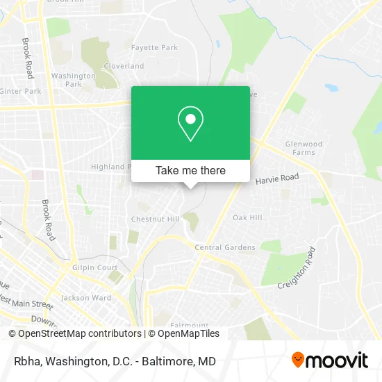
See Rbha, Richmond, on the map
Public Transit to Rbha in Richmond
Wondering how to get to Rbha in Richmond? Moovit helps you find the best way to get to Rbha with step-by-step directions from the nearest public transit station.
Moovit provides free maps and live directions to help you navigate through your city. View schedules, routes, timetables, and find out how long does it take to get to Rbha in real time.
Looking for the nearest stop or station to Rbha? Check out this list of stops closest to your destination: Brookland Park Boulevard + 4th; 3rd & Dill; Pathrichmond Main Street Amtrak Station.
Bus: 2A, 2B, 3A, 3B, 5, FLIXBUS N2601, 3C, 20.Train: NORTHEAST REGIONAL.
Want to see if there’s another route that gets you there at an earlier time? Moovit helps you find alternative routes or times. Get directions from and directions to Rbha easily from the Moovit App or Website.
We make riding to Rbha easy, which is why over 1.5 million users, including users in Richmond, trust Moovit as the best app for public transit. You don’t need to download an individual bus app or train app, Moovit is your all-in-one transit app that helps you find the best bus time or train time available.
For information on prices of bus and train, costs and ride fares to Rbha, please check the Moovit app.
Use the app to navigate to popular places including to the airport, hospital, stadium, grocery store, mall, coffee shop, school, college, and university.
Rbha Address: 1700 Front St Richmond, VA 23222 street in Richmond
- Rubicon,
- Geara Group,
- Educational Development Center,
- World of Wooks Emporium Store & Salon,
- Glorious Church And Witness Of Christ Pentecostal Church,
- Moore Than Fitness,
- Farmer's Auto,
- S & K Supermarket,
- North Side Crusaders Baptist Church,
- Y-Me Childcare Center,
- New Kingdom Christian Ministries,
- Simmons Gen Tile & Renovations,
- Park Express,
- Sunoco,
- Hassin Alsari de Park,
- Flat Roofs Repair,
- Warehouse,
- Tree Tech Tree Service,
- Erica Watkins,
- Alawbli Tobacco
Places Near Rbha (Richmond)
- Washington DC VA Medical Center, Washington,
- Amazon Hq2, Arlington County,
- Warner Theatre, Washington,
- Camden Yards, Baltimore,
- Georgetown, Washington,
- Rock Creek Tennis Center, Washington,
- Basilica of the National Shrine, Washington,
- Capital One Arena, Washington,
- The Anthem, Washington,
- Sibley Memorial Hospital, Washington,
- Marriott Marquis Washington, DC, Washington,
- M&T Bank Stadium, Baltimore,
- National Zoo, Washington,
- PG Mall, Prince George's County,
- Pennsylvania Ave NW (3rd st and pennsylvania), Washington,
- Westfield Montgomery Mall, Montgomery County,
- National Theatre, Washington,
- National Museum of African American History and Culture, Washington,
- Museum Of The Bible, Washington,
- Washington National Cathedral, Washington
How to get to popular places in Washington, D.C. - Baltimore, MD with public transit
Get around Richmond by public transit!
Traveling around Richmond has never been so easy. See step by step directions as you travel to any attraction, street or major public transit station. View bus and train schedules, arrival times, service alerts and detailed routes on a map, so you know exactly how to get to anywhere in Richmond.
When traveling to any destination around Richmond use Moovit's Live Directions with Get Off Notifications to know exactly where and how far to walk, how long to wait for your line, and how many stops are left. Moovit will alert you when it's time to get off — no need to constantly re-check whether yours is the next stop.
Wondering how to use public transit in Richmond or how to pay for public transit in Richmond? Moovit public transit app can help you navigate your way with public transit easily, and at minimum cost. It includes public transit fees, ticket prices, and costs. Looking for a map of Richmond public transit lines? Moovit public transit app shows all public transit maps in Richmond with all Bus, Train, Metro, Light Rail and Ferry routes and stops on an interactive map.
Washington, D.C. - Baltimore, MD has 5 transit type(s), including: Bus, Train, Metro, Light Rail and Ferry, operated by several transit agencies, including WMATA, Montgomery County Ride On, Fairfax Connector, TheBus, PRTC, DASH - Alexandria, Arlington Transit (ART), RTA of Central Maryland, MDOT MTA, MDOT MTA Light RailLink, MDOT MTA Commuter Bus, MDOT MTA Local Bus, FXBGO!, Virginia Railway Express (VRE) and MARC