How to get to Rcaf Aircraft by bus?
Click on the bus route to see step by step directions with maps, line arrival times and updated time schedules.
From Art by Sharon Marlow, Edmonton
95 minFrom Dr. Anne Anderson School, Edmonton
96 minFrom Nisku Fire District Station (Station 1), Leduc County
46 minFrom Costco, Leduc County
36 minFrom Donald R. Getty School, Edmonton
95 minFrom Edmonton International Airport (YEG), Leduc County
34 minFrom Nisku, Leduc County
37 minFrom Yeg employee parking, Leduc County
45 minFrom Cartmell Road & Chappelle Road Sw, Edmonton
93 minFrom City Property Services, Edmonton
97 min
Bus stop near Rcaf Aircraft in Leduc
- 50 Street & 52 Avenue, 4 min walk,VIEW
What are the closest stations to Rcaf Aircraft?
The closest stations to Rcaf Aircraft are:
- 50 Street & 52 Avenue is 247 meters away, 4 min walk.
Which bus lines stop near Rcaf Aircraft?
These bus lines stop near Rcaf Aircraft: 1, 10.
What’s the nearest bus station to Rcaf Aircraft in Leduc?
The nearest bus station to Rcaf Aircraft in Leduc is 50 Street & 52 Avenue. It’s a 4 min walk away.
What time is the first bus to Rcaf Aircraft in Leduc?
The 1 is the first bus that goes to Rcaf Aircraft in Leduc. It stops nearby at 5:19 AM.
What time is the last bus to Rcaf Aircraft in Leduc?
The 10 is the last bus that goes to Rcaf Aircraft in Leduc. It stops nearby at 10:17 PM.
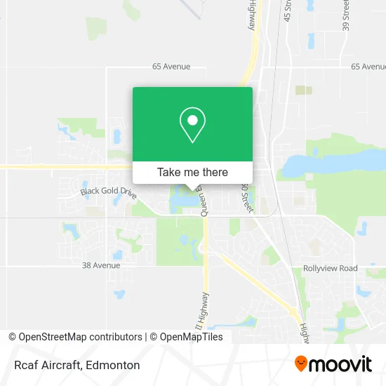
See Rcaf Aircraft, Leduc, on the map
Public Transit to Rcaf Aircraft in Leduc
Wondering how to get to Rcaf Aircraft in Leduc? Moovit helps you find the best way to get to Rcaf Aircraft with step-by-step directions from the nearest public transit station.
Moovit provides free maps and live directions to help you navigate through your city. View schedules, routes, timetables, and find out how long does it take to get to Rcaf Aircraft in real time.
Looking for the nearest stop or station to Rcaf Aircraft? Check out this list of stops closest to your destination: 50 Street & 52 Avenue.
Bus: 1, 10.
Want to see if there’s another route that gets you there at an earlier time? Moovit helps you find alternative routes or times. Get directions from and directions to Rcaf Aircraft easily from the Moovit App or Website.
We make riding to Rcaf Aircraft easy, which is why over 1.5 million users, including users in Leduc, trust Moovit as the best app for public transit. You don’t need to download an individual bus app or train app, Moovit is your all-in-one transit app that helps you find the best bus time or train time available.
For information on prices of bus, costs and ride fares to Rcaf Aircraft, please check the Moovit app.
Use the app to navigate to popular places including to the airport, hospital, stadium, grocery store, mall, coffee shop, school, college, and university.
Location: Leduc, Edmonton
- Water-In-View Disc Golf Course,
- Leduc Reservoir,
- Entrance HWY-2 S,
- Exit 517/HWY-39/N,
- Fred Johns Park,
- Techmation Electric,
- Leduc Alliance Church,
- Quark Electric,
- Kiss It Better Care,
- Simpson Park,
- Li'l Creations by Colleen Lill,
- Workwell Moving,
- Hot in Leduc,
- Aurora Yoga & Spa Leduc,
- Right Price Produce,
- Evolution Sports Excellence,
- Grizzly Cubs Den I,
- Leduc Registries LTD,
- Leduc Liquor Village,
- 93.1 the One
Places Near Rcaf Aircraft (Leduc)
- Royal Alexandra Hospital, Edmonton,
- West Edmonton Mall, Edmonton,
- University of Alberta, Edmonton,
- Edmonton Valley Zoo, Edmonton,
- Cross Cancer Institute, Edmonton,
- Borden Park, Edmonton,
- Edmonton EXPO Centre, Edmonton,
- Whyte Avenue, Edmonton,
- Londonderry Mall, Edmonton,
- Canada Place Service Canada Centre, Edmonton,
- Grey Nuns Community Hospital, Edmonton,
- Edmonton VIA Rail Station, Edmonton,
- MacEwan University, Edmonton,
- Kingsway Mall, Edmonton,
- Edmonton Commonwealth Stadium, Edmonton,
- Northgate Centre, Edmonton,
- Kaye Edmonton Clinic, Edmonton,
- Fort Edmonton Park, Edmonton,
- Alberta Legislature Building, Edmonton,
- Rogers Place, Edmonton
How to get to popular places in Edmonton with public transit
Get around Leduc by public transit!
Traveling around Leduc has never been so easy. See step by step directions as you travel to any attraction, street or major public transit station. View bus and train schedules, arrival times, service alerts and detailed routes on a map, so you know exactly how to get to anywhere in Leduc.
When traveling to any destination around Leduc use Moovit's Live Directions with Get Off Notifications to know exactly where and how far to walk, how long to wait for your line, and how many stops are left. Moovit will alert you when it's time to get off — no need to constantly re-check whether yours is the next stop.
Wondering how to use public transit in Leduc or how to pay for public transit in Leduc? Moovit public transit app can help you navigate your way with public transit easily, and at minimum cost. It includes public transit fees, ticket prices, and costs. Looking for a map of Leduc public transit lines? Moovit public transit app shows all public transit maps in Leduc with all Bus and Light Rail routes and stops on an interactive map.
Edmonton has 2 transit type(s), including: Bus and Light Rail, operated by several transit agencies, including ETS LRT, ETS, Strathcona County Transit, St. Albert Transit, Spruce Grove Transit, Fort Saskatchewan Transit, Beaumont Transit and Leduc Transit