How to get to Rcca by bus?
Click on the bus route to see step by step directions with maps, line arrival times and updated time schedules.
From Perth Amboy, NJ, Perth Amboy
145 minFrom Baps Shri Swaminarayan Mandir, Edison, NJ, USA, Edison
133 minFrom Toms River, NJ, Toms River
78 minFrom Long Branch Beach & Boardwalk, Long Branch
194 minFrom Amdur Ambulatory Care Center, Neptune
117 minFrom PNC Bank Arts Center, Holmdel
192 minFrom Freehold, NJ, Freehold
38 minFrom Gunnison Beach, Highlands
140 min
Bus stops near Rcca in Howell
Bus lines to Rcca in Howell
- 139, 139 - Lakewood - Old Bridge to New York (via Rt 9),VIEW
- 404, Wall Street to Route 9 (Pine Street),VIEW
- 63, X Lakewood Express To Union Hill Park Ride,VIEW
- 64, Weehawken Hoboken,VIEW
- 67, Newark Via Lakewood Newark Via Nwk Airport,VIEW
- 130, Un Hill Exp Lakewood Via Freehold Mall,VIEW
- 136, Freehold Mall Express Lakewood,VIEW
- 139, Lakewood Via Freehold Center,VIEW
- 132, New York Express Gordons Corner,VIEW
What are the closest stations to Rcca?
The closest stations to Rcca are:
- Howell - Us-9 @ Lanes Mill Rd (Southbound) is 674 yards away, 9 min walk.
- Us-9 at Lanes Mill Rd is 690 yards away, 9 min walk.
Which bus line stops near Rcca?
139 (Lakewood Via Freehold Center)
What’s the nearest bus station to Rcca in Howell?
The nearest bus stations to Rcca in Howell are Howell - Us-9 @ Lanes Mill Rd (Southbound) and Us-9 at Lanes Mill Rd. The closest one is a 9 min walk away.
What time is the first bus to Rcca in Howell?
The 139 is the first bus that goes to Rcca in Howell. It stops nearby at 3:05 AM.
What time is the last bus to Rcca in Howell?
The 139 is the last bus that goes to Rcca in Howell. It stops nearby at 3:57 AM.
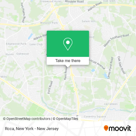
See Rcca, Howell, on the map
Public Transit to Rcca in Howell
Wondering how to get to Rcca in Howell? Moovit helps you find the best way to get to Rcca with step-by-step directions from the nearest public transit station.
Moovit provides free maps and live directions to help you navigate through your city. View schedules, routes, timetables, and find out how long does it take to get to Rcca in real time.
Looking for the nearest stop or station to Rcca? Check out this list of stops closest to your destination: Howell - Us-9 @ Lanes Mill Rd (Southbound); Us-9 at Lanes Mill Rd.
Bus: 139, 404, 63, 64, 67, 130, 136, 132.
Want to see if there’s another route that gets you there at an earlier time? Moovit helps you find alternative routes or times. Get directions from and directions to Rcca easily from the Moovit App or Website.
We make riding to Rcca easy, which is why over 1.5 million users, including users in Howell, trust Moovit as the best app for public transit. You don’t need to download an individual bus app or train app, Moovit is your all-in-one transit app that helps you find the best bus time or train time available.
For information on prices of bus and train, costs and ride fares to Rcca, please check the Moovit app.
Use the app to navigate to popular places including to the airport, hospital, stadium, grocery store, mall, coffee shop, school, college, and university.
Rcca Address: 57 Kent Rd Howell, NJ 07731 street in Howell
- Physical Therapy & Rehab,
- Rcca Howell Division,
- Manmeet Singh Ahluwalia, Md,
- Susan Guerra, Fnp-Bc - Schweiger Dermatology Group,
- Larissa Lobato, Apn-C - Schweiger Dermatology Group,
- Irwin Hametz, Md,
- Samantha Macphail, Np-C,
- Schweiger Dermatology Group,
- Purrfurred Veterinary Care,
- Narinder Kaur MD,
- Ethan Wasserman, Md,
- Spectrum Contracting,
- Spoken Auto Repair,
- Apex Spine and Wellness,
- Southard Grange Community Arts,
- Southard Grange Number 218,
- Star Pediatric Home Care Agency,
- Hackensack Meridian Health Medical Group,
- Restorationfamily Worshipcenter,
- Coinstar Kiosk
Places Near Rcca (Howell)
- 1 Police Plaza, Manhattan,
- Mountainside Hospital, Glen Ridge,
- Rockefeller Center, Manhattan,
- Wall Street, Manhattan,
- Hudson Yards, Manhattan,
- 66 John Street, Manhattan,
- 3 Stone St, Manhattan,
- Times Square, Manhattan,
- qqqq, Manhattan,
- 911 Memorial, Manhattan,
- SoHo, Manhattan,
- Queens Center Mall, Queens,
- Pier 83, Manhattan,
- 376 Hudson Street, Manhattan,
- Chinatown, Manhattan,
- Bellevue Hospital, Manhattan,
- Katz's Deli, Manhattan,
- 111 Centre New York City Supreme Court, Manhattan,
- 26 Federal Plaza, Manhattan,
- San Gennaro Feast, Manhattan
How to get to popular places in New York - New Jersey with public transit
Get around Howell by public transit!
Traveling around Howell has never been so easy. See step by step directions as you travel to any attraction, street or major public transit station. View bus and train schedules, arrival times, service alerts and detailed routes on a map, so you know exactly how to get to anywhere in Howell.
When traveling to any destination around Howell use Moovit's Live Directions with Get Off Notifications to know exactly where and how far to walk, how long to wait for your line, and how many stops are left. Moovit will alert you when it's time to get off — no need to constantly re-check whether yours is the next stop.
Wondering how to use public transit in Howell or how to pay for public transit in Howell? Moovit public transit app can help you navigate your way with public transit easily, and at minimum cost. It includes public transit fees, ticket prices, and costs. Looking for a map of Howell public transit lines? Moovit public transit app shows all public transit maps in Howell with all Bus, Train, Subway, Light Rail, Ferry and Cable Car routes and stops on an interactive map.
New York - New Jersey has 6 transit type(s), including: Bus, Train, Subway, Light Rail, Ferry and Cable Car, operated by several transit agencies, including MTA Subway, Metro-North Railroad, LIRR, PATH, MTA New York City Transit - Express routes, MTA Bus, NJ Transit, NYC Ferry, NICE bus, Bee-Line Bus, NJ Transit Rail, Norwalk Transit District, Hartford Line, River Valley Transit and HART