Directions to Readyspaces (Fairfax County) with public transportation
The following transit lines have routes that pass near Readyspaces
 Bus: 321, 322.
- Train: MANASSAS LINE.
How to get to Readyspaces by bus?
Click on the bus route to see step by step directions with maps, line arrival times and updated time schedules.
From Seven Corners Center (Seven Corners Shopping Center Falls Church VA), Fairfax County
91 minFrom U.S. Department of State SA-28, Fairfax County
62 minFrom Defense Health Headquarters (DHHQ), Fairfax County
91 minFrom Falls Church, VA, Falls Church
75 minFrom Inova Fairfax Hospital, Fairfax County
69 minFrom Fairfax County Courthouse, Fairfax County
91 minFrom Eden Center, Falls Church
86 minFrom Kaiser Permanente - Falls Church Medical Center, Falls Church
70 minFrom George Mason University, Fairfax County
89 minFrom Hilton Alexandria Mark Center, Alexandria
79 min
Train station near Readyspaces in Fairfax County
- Backlick Road Station, 37 min walk,VIEW
What are the closest stations to Readyspaces?
The closest stations to Readyspaces are:
- Backlick Road Station is 3088 yards away, 37 min walk.
Which bus lines stop near Readyspaces?
These bus lines stop near Readyspaces: 321, 322.
What time is the first train to Readyspaces in Fairfax County?
The MANASSAS LINE is the first train that goes to Readyspaces in Fairfax County. It stops nearby at 5:42 AM.
What time is the last train to Readyspaces in Fairfax County?
The MANASSAS LINE is the last train that goes to Readyspaces in Fairfax County. It stops nearby at 7:34 PM.
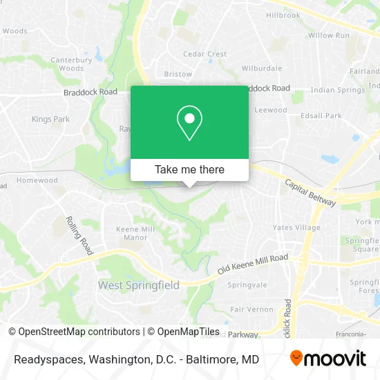
See Readyspaces, Fairfax County, on the map
Public Transit to Readyspaces in Fairfax County
Wondering how to get to Readyspaces in Fairfax County? Moovit helps you find the best way to get to Readyspaces with step-by-step directions from the nearest public transit station.
Moovit provides free maps and live directions to help you navigate through your city. View schedules, routes, timetables, and find out how long does it take to get to Readyspaces in real time.
Looking for the nearest stop or station to Readyspaces? Check out this list of stops closest to your destination: Backlick Road Station.
Bus: 321, 322.Train: MANASSAS LINE.
Want to see if there’s another route that gets you there at an earlier time? Moovit helps you find alternative routes or times. Get directions from and directions to Readyspaces easily from the Moovit App or Website.
We make riding to Readyspaces easy, which is why over 1.5 million users, including users in Fairfax County, trust Moovit as the best app for public transit. You don’t need to download an individual bus app or train app, Moovit is your all-in-one transit app that helps you find the best bus time or train time available.
For information on prices of bus, costs and ride fares to Readyspaces, please check the Moovit app.
Use the app to navigate to popular places including to the airport, hospital, stadium, grocery store, mall, coffee shop, school, college, and university.
Readyspaces Address: 7701 Southern Dr Springfield, VA 22150 street in Fairfax County
- Monster Organics,
- Greenspring Construction Services,
- Nova Liquidations,
- Lose It Rage Room,
- Adamant Fitness,
- Steam Fitters Apprenticeship Local 602,
- Builders Firstsource,
- A D T Alarm & ADT Security,
- Lake Accotink Park (Lake Accotink Lucky Duck Miniature Golf Course),
- Chiropractic Laser Therapy,
- Eliminator Chuck,
- McLaren Sargent Pavilion,
- Lake Accotink Park-West,
- Lake Accotink Park,
- Synergy Development & Training,
- Synergydt,
- Honey do Remodeling,
- Lake Accotink,
- St Abanoub VA,
- Hogic
Places Near Readyspaces (Fairfax County)
- The Anthem, Washington,
- Georgetown, Washington,
- Washington National Cathedral, Washington,
- Camden Yards, Baltimore,
- National Zoo, Washington,
- Rock Creek Tennis Center, Washington,
- Washington DC VA Medical Center, Washington,
- Westfield Montgomery Mall, Montgomery County,
- Marriott Marquis Washington, DC, Washington,
- Amazon Hq2, Arlington County,
- Pennsylvania Ave NW (3rd st and pennsylvania), Washington,
- Basilica of the National Shrine, Washington,
- PG Mall, Prince George's County,
- National Mall, Washington,
- Capital One Arena, Washington,
- Sibley Memorial Hospital, Washington,
- Museum Of The Bible, Washington,
- National Museum of African American History and Culture, Washington,
- M&T Bank Stadium, Baltimore,
- Warner Theatre, Washington
How to get to popular places in Washington, D.C. - Baltimore, MD with public transit
Get around Fairfax County by public transit!
Traveling around Fairfax County has never been so easy. See step by step directions as you travel to any attraction, street or major public transit station. View bus and train schedules, arrival times, service alerts and detailed routes on a map, so you know exactly how to get to anywhere in Fairfax County.
When traveling to any destination around Fairfax County use Moovit's Live Directions with Get Off Notifications to know exactly where and how far to walk, how long to wait for your line, and how many stops are left. Moovit will alert you when it's time to get off — no need to constantly re-check whether yours is the next stop.
Wondering how to use public transit in Fairfax County or how to pay for public transit in Fairfax County? Moovit public transit app can help you navigate your way with public transit easily, and at minimum cost. It includes public transit fees, ticket prices, and costs. Looking for a map of Fairfax County public transit lines? Moovit public transit app shows all public transit maps in Fairfax County with all Bus, Train, Metro, Light Rail and Ferry routes and stops on an interactive map.
Washington, D.C. - Baltimore, MD has 5 transit type(s), including: Bus, Train, Metro, Light Rail and Ferry, operated by several transit agencies, including WMATA, Montgomery County Ride On, Fairfax Connector, TheBus, PRTC, DASH - Alexandria, Arlington Transit (ART), RTA of Central Maryland, MDOT MTA, MDOT MTA Light RailLink, MDOT MTA Commuter Bus, MDOT MTA Local Bus, FXBGO!, Virginia Railway Express (VRE) and MARC