How to get to Rebirth Christian Center by bus?
Click on the bus route to see step by step directions with maps, line arrival times and updated time schedules.
From Canopy By Hilton Washington DC Bethesda North North Bethesda, Montgomery County
59 minFrom Glenstone Museum, Montgomery County
81 minFrom Bethesda North Marriott Hotel & Conference Center, Montgomery County
58 minFrom Walmart Supercenter, Montgomery County
40 minFrom Montgomery College-Rockville, Montgomery County
39 minFrom Olney MD USA, Montgomery County
40 minFrom Rockville, MD, Montgomery County
51 minFrom Park Potomac Place, Montgomery County
60 minFrom Kentlands, Montgomery County
39 minFrom Pike & Rose (Pike and Rose), Montgomery County
60 min
How to get to Rebirth Christian Center by train?
Click on the train route to see step by step directions with maps, line arrival times and updated time schedules.
How to get to Rebirth Christian Center by metro?
Click on the metro route to see step by step directions with maps, line arrival times and updated time schedules.
Bus stops near Rebirth Christian Center in Montgomery County
Train station near Rebirth Christian Center in Montgomery County
- Washington Grove Marc Eb, 35 min walk,VIEW
Metro station near Rebirth Christian Center in Montgomery County
- Shady Grove, 52 min walk,VIEW
Bus lines to Rebirth Christian Center in Montgomery County
What are the closest stations to Rebirth Christian Center?
The closest stations to Rebirth Christian Center are:
- Girard St & Gloria Way is 121 yards away, 2 min walk.
- E Diamond Ave & Girard St is 469 yards away, 6 min walk.
- Washington Grove Marc Eb is 2968 yards away, 35 min walk.
- Shady Grove is 4373 yards away, 52 min walk.
Which bus lines stop near Rebirth Christian Center?
These bus lines stop near Rebirth Christian Center: 57, 61.
Which train line stops near Rebirth Christian Center?
MARC (Inbound - Brunswick)
Which metro line stops near Rebirth Christian Center?
RED (Shady Grove)
What’s the nearest bus station to Rebirth Christian Center in Montgomery County?
The nearest bus station to Rebirth Christian Center in Montgomery County is Girard St & Gloria Way. It’s a 2 min walk away.
What time is the first metro to Rebirth Christian Center in Montgomery County?
The RED is the first metro that goes to Rebirth Christian Center in Montgomery County. It stops nearby at 5:00 AM.
What time is the last metro to Rebirth Christian Center in Montgomery County?
The RED is the last metro that goes to Rebirth Christian Center in Montgomery County. It stops nearby at 12:40 AM.
What time is the first train to Rebirth Christian Center in Montgomery County?
The MARC is the first train that goes to Rebirth Christian Center in Montgomery County. It stops nearby at 5:30 AM.
What time is the last train to Rebirth Christian Center in Montgomery County?
The MARC is the last train that goes to Rebirth Christian Center in Montgomery County. It stops nearby at 7:56 PM.
What time is the first bus to Rebirth Christian Center in Montgomery County?
The 57 is the first bus that goes to Rebirth Christian Center in Montgomery County. It stops nearby at 4:36 AM.
What time is the last bus to Rebirth Christian Center in Montgomery County?
The 57 is the last bus that goes to Rebirth Christian Center in Montgomery County. It stops nearby at 12:18 AM.
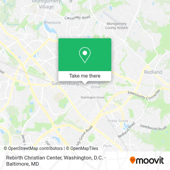
See Rebirth Christian Center, Montgomery County, on the map
Public Transit to Rebirth Christian Center in Montgomery County
Wondering how to get to Rebirth Christian Center in Montgomery County? Moovit helps you find the best way to get to Rebirth Christian Center with step-by-step directions from the nearest public transit station.
Moovit provides free maps and live directions to help you navigate through your city. View schedules, routes, timetables, and find out how long does it take to get to Rebirth Christian Center in real time.
Looking for the nearest stop or station to Rebirth Christian Center? Check out this list of stops closest to your destination: Girard St & Gloria Way; E Diamond Ave & Girard St; Washington Grove Marc Eb; Shady Grove.
Bus: 57, 61.Train: MARC.Metro: RED.
Want to see if there’s another route that gets you there at an earlier time? Moovit helps you find alternative routes or times. Get directions from and directions to Rebirth Christian Center easily from the Moovit App or Website.
We make riding to Rebirth Christian Center easy, which is why over 1.7 million users, including users in Montgomery County, trust Moovit as the best app for public transit. You don’t need to download an individual bus app or train app, Moovit is your all-in-one transit app that helps you find the best bus time or train time available.
For information on prices of bus, metro and train, costs and ride fares to Rebirth Christian Center, please check the Moovit app.
Use the app to navigate to popular places including to the airport, hospital, stadium, grocery store, mall, coffee shop, school, college, and university.
Rebirth Christian Center Address: 640 E Diamond Ave street in Montgomery County
- Washington Grove MARC Station,
- Gaithersburg Middle School,
- Shell Recharge,
- Gaithersburg MARC Station,
- Gaithersburg Marc Station Parking,
- Gaithersburg, Maryland,
- Mayan Monkey Brewing,
- Deer Park MD-355,
- S. Frederick Rd. and E. Deer Park Dr.,
- Walnut Hill, Maryland,
- Catholic Charities,
- Maryland 355,
- Gaithersburg High School,
- Bohrer Park,
- Forest Oak Middle School,
- MCG Abs Walnut Hill,
- Crystal Community Church,
- Asbury Methodist Village,
- N Frederick,
- Anne Arundel County Maryland
Places Near Rebirth Christian Center (Montgomery County)
- Marriott Marquis Washington, DC, Washington,
- Washington National Cathedral, Washington,
- Capital One Arena, Washington,
- Pennsylvania Ave NW (3rd st and pennsylvania), Washington,
- Westfield Montgomery Mall, Montgomery County,
- M&T Bank Stadium, Baltimore,
- The Anthem, Washington,
- Museum Of The Bible, Washington,
- National Museum of African American History and Culture, Washington,
- Georgetown, Washington,
- Amazon Hq2, Arlington County,
- Rock Creek Tennis Center, Washington,
- National Theatre, Washington,
- Basilica of the National Shrine, Washington,
- Camden Yards, Baltimore,
- Sibley Memorial Hospital, Washington,
- National Zoo, Washington,
- Washington DC VA Medical Center, Washington,
- Warner Theatre, Washington,
- PG Mall, Prince George's County
How to get to popular places in Washington, D.C. - Baltimore, MD with public transit
Get around Montgomery County by public transit!
Traveling around Montgomery County has never been so easy. See step by step directions as you travel to any attraction, street or major public transit station. View bus and train schedules, arrival times, service alerts and detailed routes on a map, so you know exactly how to get to anywhere in Montgomery County.
When traveling to any destination around Montgomery County use Moovit's Live Directions with Get Off Notifications to know exactly where and how far to walk, how long to wait for your line, and how many stops are left. Moovit will alert you when it's time to get off — no need to constantly re-check whether yours is the next stop.
Wondering how to use public transit in Montgomery County or how to pay for public transit in Montgomery County? Moovit public transit app can help you navigate your way with public transit easily, and at minimum cost. It includes public transit fees, ticket prices, and costs. Looking for a map of Montgomery County public transit lines? Moovit public transit app shows all public transit maps in Montgomery County with all Bus, Train, Metro, Light Rail and Ferry routes and stops on an interactive map.
Washington, D.C. - Baltimore, MD has 5 transit type(s), including: Bus, Train, Metro, Light Rail and Ferry, operated by several transit agencies, including WMATA, Montgomery County Ride On, Fairfax Connector, TheBus, PRTC, DASH - Alexandria, Arlington Transit (ART), RTA of Central Maryland, MDOT MTA, MDOT MTA Light RailLink, MDOT MTA Commuter Bus, MDOT MTA Local Bus, FXBGO!, Virginia Railway Express (VRE) and MARC