Directions to Recovery Church Movement (Norfolk) with public transportation
The following transit lines have routes that pass near Recovery Church Movement
 Bus: 006, 023, 961.
- Train: NORTHEAST REGIONAL.
- Ferry: 090.
How to get to Recovery Church Movement by bus?
Click on the bus route to see step by step directions with maps, line arrival times and updated time schedules.
How to get to Recovery Church Movement by train?
Click on the train route to see step by step directions with maps, line arrival times and updated time schedules.
Bus stop near Recovery Church Movement in Norfolk
- Liberty & Culpepper, 9 min walk,VIEW
Light Rail stations near Recovery Church Movement in Norfolk
- Civic Plaza Station, 35 min walk,VIEW
Ferry station near Recovery Church Movement in Norfolk
- Ferry Stop - Waterside, 39 min walk,VIEW
Train station near Recovery Church Movement in Norfolk
- Norfolk Station, 55 min walk,VIEW
Bus lines to Recovery Church Movement in Norfolk
- 006, Dntc,VIEW
What are the closest stations to Recovery Church Movement?
The closest stations to Recovery Church Movement are:
- Liberty & Culpepper is 709 yards away, 9 min walk.
- Civic Plaza Station is 2955 yards away, 35 min walk.
- Ferry Stop - Waterside is 3261 yards away, 39 min walk.
- Norfolk Station is 4717 yards away, 55 min walk.
Which bus lines stop near Recovery Church Movement?
These bus lines stop near Recovery Church Movement: 006, 023, 961.
Which train line stops near Recovery Church Movement?
NORTHEAST REGIONAL (Norfolk)
What’s the nearest bus station to Recovery Church Movement in Norfolk?
The nearest bus station to Recovery Church Movement in Norfolk is Liberty & Culpepper. It’s a 9 min walk away.
What time is the first light rail to Recovery Church Movement in Norfolk?
The 800 is the first light rail that goes to Recovery Church Movement in Norfolk. It stops nearby at 5:37 AM.
What time is the last light rail to Recovery Church Movement in Norfolk?
The 800 is the last light rail that goes to Recovery Church Movement in Norfolk. It stops nearby at 11:42 PM.
What time is the first train to Recovery Church Movement in Norfolk?
The NORTHEAST REGIONAL is the first train that goes to Recovery Church Movement in Norfolk. It stops nearby at 8:54 AM.
What time is the last train to Recovery Church Movement in Norfolk?
The NORTHEAST REGIONAL is the last train that goes to Recovery Church Movement in Norfolk. It stops nearby at 10:53 PM.
What time is the first bus to Recovery Church Movement in Norfolk?
The 006 is the first bus that goes to Recovery Church Movement in Norfolk. It stops nearby at 5:50 AM.
What time is the last bus to Recovery Church Movement in Norfolk?
The 006 is the last bus that goes to Recovery Church Movement in Norfolk. It stops nearby at 1:11 AM.
What time is the first ferry to Recovery Church Movement in Norfolk?
The 090 is the first ferry that goes to Recovery Church Movement in Norfolk. It stops nearby at 5:45 AM.
What time is the last ferry to Recovery Church Movement in Norfolk?
The 090 is the last ferry that goes to Recovery Church Movement in Norfolk. It stops nearby at 11:45 PM.
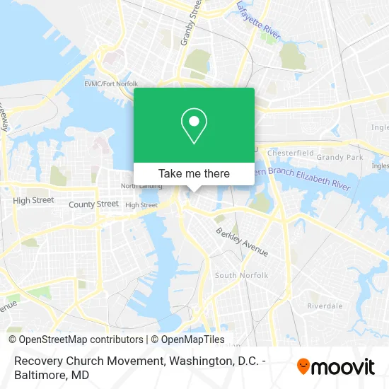
See Recovery Church Movement, Norfolk, on the map
Public Transit to Recovery Church Movement in Norfolk
Wondering how to get to Recovery Church Movement in Norfolk? Moovit helps you find the best way to get to Recovery Church Movement with step-by-step directions from the nearest public transit station.
Moovit provides free maps and live directions to help you navigate through your city. View schedules, routes, timetables, and find out how long does it take to get to Recovery Church Movement in real time.
Looking for the nearest stop or station to Recovery Church Movement? Check out this list of stops closest to your destination: Liberty & Culpepper; Civic Plaza Station; Ferry Stop - Waterside; Norfolk Station.
Bus: 006, 023, 961.Train: NORTHEAST REGIONAL.Ferry: 090.
Want to see if there’s another route that gets you there at an earlier time? Moovit helps you find alternative routes or times. Get directions from and directions to Recovery Church Movement easily from the Moovit App or Website.
We make riding to Recovery Church Movement easy, which is why over 1.7 million users, including users in Norfolk, trust Moovit as the best app for public transit. You don’t need to download an individual bus app or train app, Moovit is your all-in-one transit app that helps you find the best bus time or train time available.
For information on prices of bus and train, costs and ride fares to Recovery Church Movement, please check the Moovit app.
Use the app to navigate to popular places including to the airport, hospital, stadium, grocery store, mall, coffee shop, school, college, and university.
Recovery Church Movement Address: 405 Pendleton St street in Norfolk
- United Mission Holiness Church,
- House Of Prayer For All People,
- Saint James African Methodist Episcopal Church,
- Greater Mount Zion Community Church,
- Antioch Baptist,
- Phillippi Church Of Christ,
- Faithway Apostolic Church,
- Berkley,
- Lake House Girls Group Home,
- Berkley Community Center,
- Colonna's Shipyard - Main Yard,
- Berkley Community Park,
- Saint Helena Elementary School,
- Nassco Security Office,
- Nassco,
- Hood Chapel African Methodist,
- Church Of the Lord Jesus Christ,
- Harbor Park,
- Magnolia Cemetery,
- Bae Systems Norfolk Ship Repair
Places Near Recovery Church Movement (Norfolk)
- Amazon Hq2, Arlington County,
- Capital One Arena, Washington,
- M&T Bank Stadium, Baltimore,
- The Anthem, Washington,
- National Zoo, Washington,
- Marriott Marquis Washington, DC, Washington,
- Rock Creek Tennis Center, Washington,
- Museum Of The Bible, Washington,
- Westfield Montgomery Mall, Montgomery County,
- National Theatre, Washington,
- Pennsylvania Ave NW (3rd st and pennsylvania), Washington,
- Basilica of the National Shrine, Washington,
- National Museum of African American History and Culture, Washington,
- PG Mall, Prince George's County,
- Camden Yards, Baltimore,
- Warner Theatre, Washington,
- Washington National Cathedral, Washington,
- Sibley Memorial Hospital, Washington,
- Georgetown, Washington,
- Washington DC VA Medical Center, Washington
How to get to popular places in Washington, D.C. - Baltimore, MD with public transit
Get around Norfolk by public transit!
Traveling around Norfolk has never been so easy. See step by step directions as you travel to any attraction, street or major public transit station. View bus and train schedules, arrival times, service alerts and detailed routes on a map, so you know exactly how to get to anywhere in Norfolk.
When traveling to any destination around Norfolk use Moovit's Live Directions with Get Off Notifications to know exactly where and how far to walk, how long to wait for your line, and how many stops are left. Moovit will alert you when it's time to get off — no need to constantly re-check whether yours is the next stop.
Wondering how to use public transit in Norfolk or how to pay for public transit in Norfolk? Moovit public transit app can help you navigate your way with public transit easily, and at minimum cost. It includes public transit fees, ticket prices, and costs. Looking for a map of Norfolk public transit lines? Moovit public transit app shows all public transit maps in Norfolk with all Bus, Train, Metro, Light Rail and Ferry routes and stops on an interactive map.
Washington, D.C. - Baltimore, MD has 5 transit type(s), including: Bus, Train, Metro, Light Rail and Ferry, operated by several transit agencies, including WMATA, Montgomery County Ride On, Fairfax Connector, TheBus, PRTC, DASH - Alexandria, Arlington Transit (ART), RTA of Central Maryland, MDOT MTA, MDOT MTA Light RailLink, MDOT MTA Commuter Bus, MDOT MTA Local Bus, FXBGO!, Virginia Railway Express (VRE) and MARC