How to get to Recycle Pallets by bus?
Click on the bus route to see step by step directions with maps, line arrival times and updated time schedules.
From Northside Station, Miami
84 minFrom Walmart, Miami
83 minFrom Miami - Dade County Turner Guilford Knight Correctional Center, North Westside
78 minFrom BrandsMart USA, Miami
91 minFrom Trump National Doral Miami, North Westside
116 minFrom Doral Voice, North Westside
104 minFrom Walmart (Walmart Supercenter Miami - NW 79th Street), Miami
83 minFrom Best Western Plus Miami-Doral/Dolphin Mall, North Westside
152 minFrom Amtrak, Miami
97 minFrom NW 79th St / NW 32nd Ave, Miami
82 min
Bus stops near Recycle Pallets in Hialeah
Bus lines to Recycle Pallets in Hialeah
What are the closest stations to Recycle Pallets?
The closest stations to Recycle Pallets are:
- W 28 Av & W 79 St is 949 yards away, 12 min walk.
- W 28 Av & W 73 St is 1517 yards away, 19 min walk.
Which bus lines stop near Recycle Pallets?
These bus lines stop near Recycle Pallets: 183, 54, HIAMAR.
What’s the nearest bus station to Recycle Pallets in Hialeah?
The nearest bus station to Recycle Pallets in Hialeah is W 28 Av & W 79 St. It’s a 12 min walk away.
What time is the first bus to Recycle Pallets in Hialeah?
The 54 is the first bus that goes to Recycle Pallets in Hialeah. It stops nearby at 5:36 AM.
What time is the last bus to Recycle Pallets in Hialeah?
The 54 is the last bus that goes to Recycle Pallets in Hialeah. It stops nearby at 8:17 PM.
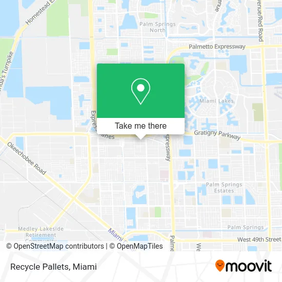
See Recycle Pallets, Hialeah, on the map
Public Transit to Recycle Pallets in Hialeah
Wondering how to get to Recycle Pallets in Hialeah? Moovit helps you find the best way to get to Recycle Pallets with step-by-step directions from the nearest public transit station.
Moovit provides free maps and live directions to help you navigate through your city. View schedules, routes, timetables, and find out how long does it take to get to Recycle Pallets in real time.
Looking for the nearest stop or station to Recycle Pallets? Check out this list of stops closest to your destination: W 28 Av & W 79 St; W 28 Av & W 73 St.
Bus: 183, 54, HIAMAR, HIAFLA.
Want to see if there’s another route that gets you there at an earlier time? Moovit helps you find alternative routes or times. Get directions from and directions to Recycle Pallets easily from the Moovit App or Website.
We make riding to Recycle Pallets easy, which is why over 1.5 million users, including users in Hialeah, trust Moovit as the best app for public transit. You don’t need to download an individual bus app or train app, Moovit is your all-in-one transit app that helps you find the best bus time or train time available.
For information on prices of bus and train, costs and ride fares to Recycle Pallets, please check the Moovit app.
Use the app to navigate to popular places including to the airport, hospital, stadium, grocery store, mall, coffee shop, school, college, and university.
Recycle Pallets Address: 2480 W 82nd St Hialeah, FL 33016 street in Hialeah
- MDCF,
- Portable Communictns,
- Vigilante Associates,
- Factory Direct Granite,
- Thrift Vintage Outlet,
- JC Hitting Performance,
- Forero Cerrajero de Coches,
- Specialized Investigation,
- I-75 on ramp to SR 826,
- Am Advance Group,
- Hvac Select,
- 5 Star Service Group,
- Cary'Style,
- Healthcare Massage,
- Miami-Hialeah Appliance Repair,
- Find A Locksmith Near Me,
- Angels Adult Daycare,
- El Figaro Style Barbershop Inc,
- M & M Associates,
- Seven Day Carpet Cleaning
Places Near Recycle Pallets (Hialeah)
- Dolphin Mall, Miami,
- Miami Freedom Park, Miami,
- Miami-Dade County Courthouse, Miami,
- Zoo Miami, Miami,
- Sawgrass Mall, Miami,
- Port of Miami Cruise Terminal, Miami,
- Dolphin Mall Bus, Miami,
- Wynwood, Miami,
- Aventura Mall, Miami,
- Brickell City Centre, Miami,
- Keiser University Flagship Campus, West Palm Beach,
- Richard E. Gerstein Justice Building, Miami,
- Aventura Mall, Miami Beach,
- Hard Rock Stadium, Miami Gardens,
- Marlins Park, Miami,
- Sawgrass mall ( FL ), Miami Beach,
- Bayside Marketplace, Miami,
- Miami Design District, Miami,
- Miami VA Hospital, Miami,
- Little Havana, Miami
How to get to popular places in Miami with public transit
Get around Hialeah by public transit!
Traveling around Hialeah has never been so easy. See step by step directions as you travel to any attraction, street or major public transit station. View bus and train schedules, arrival times, service alerts and detailed routes on a map, so you know exactly how to get to anywhere in Hialeah.
When traveling to any destination around Hialeah use Moovit's Live Directions with Get Off Notifications to know exactly where and how far to walk, how long to wait for your line, and how many stops are left. Moovit will alert you when it's time to get off — no need to constantly re-check whether yours is the next stop.
Wondering how to use public transit in Hialeah or how to pay for public transit in Hialeah? Moovit public transit app can help you navigate your way with public transit easily, and at minimum cost. It includes public transit fees, ticket prices, and costs. Looking for a map of Hialeah public transit lines? Moovit public transit app shows all public transit maps in Hialeah with all Bus, Train, Light Rail and Ferry routes and stops on an interactive map.
Miami has 4 transit type(s), including: Bus, Train, Light Rail and Ferry, operated by several transit agencies, including Broward County Transit, Miami-Dade Transit, Metrorail, Palm Tran, Tri-Rail, Brightline, MARTY, City of Homestead Trolley, Key West Transit, Treasure Coast Connector, GoLine IRT, Amtrak, Greyhound-us, FlixBus-us and Aventura Express Shuttle Bus