How to get to Red Cross by bus?
Click on the bus route to see step by step directions with maps, line arrival times and updated time schedules.
From Florida City, FL, Homestead
236 minFrom Key West Butterfly & Nature Conservatory, Key West
34 minFrom Southernmost Point Buoy, Key West
36 minFrom The Hemingway Home and Museum (Hemingway House), Key West
31 minFrom SW 187th Ave / SW 344th St, Homestead
246 minFrom Florida City, Homestead
234 minFrom Orlando Florida, Homestead
235 minFrom Wisteria Island, Key West
34 minFrom Fort Zachary Taylor Historic State Park, Key West
44 min
Bus stops near Red Cross in Stock Island
What are the closest stations to Red Cross?
The closest stations to Red Cross are:
- US1 & 3rd Street is 442 yards away, 6 min walk.
- Maloney Ave & MacDonald Ave is 506 yards away, 7 min walk.
Which bus lines stop near Red Cross?
These bus lines stop near Red Cross: LKS, WFX.
What’s the nearest bus station to Red Cross in Stock Island?
The nearest bus station to Red Cross in Stock Island is US1 & 3rd Street. It’s a 6 min walk away.
What time is the first bus to Red Cross in Stock Island?
The LKS is the first bus that goes to Red Cross in Stock Island. It stops nearby at 5:52 AM.
What time is the last bus to Red Cross in Stock Island?
The LKS is the last bus that goes to Red Cross in Stock Island. It stops nearby at 9:43 PM.
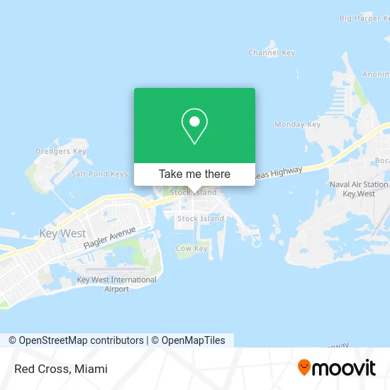
See Red Cross, Stock Island, on the map
Public Transit to Red Cross in Stock Island
Wondering how to get to Red Cross in Stock Island? Moovit helps you find the best way to get to Red Cross with step-by-step directions from the nearest public transit station.
Moovit provides free maps and live directions to help you navigate through your city. View schedules, routes, timetables, and find out how long does it take to get to Red Cross in real time.
Looking for the nearest stop or station to Red Cross? Check out this list of stops closest to your destination: US1 & 3rd Street; Maloney Ave & MacDonald Ave.
Bus: LKS, WFX.
Want to see if there’s another route that gets you there at an earlier time? Moovit helps you find alternative routes or times. Get directions from and directions to Red Cross easily from the Moovit App or Website.
We make riding to Red Cross easy, which is why over 1.5 million users, including users in Stock Island, trust Moovit as the best app for public transit. You don’t need to download an individual bus app or train app, Moovit is your all-in-one transit app that helps you find the best bus time or train time available.
For information on prices of bus, costs and ride fares to Red Cross, please check the Moovit app.
Use the app to navigate to popular places including to the airport, hospital, stadium, grocery store, mall, coffee shop, school, college, and university.
Red Cross Address: 5450 MacDonald Ave Key West, FL 33040 street in Stock Island
- SBX Real Estate Office,
- Jensen Kristen DVM,
- Dion's Quik Mart,
- Bone Island Divers & Sandbar Charters Key West,
- Sunset Watersports (Sunset Water Sports),
- Golf Carts of Key West,
- Cayo del Mar,
- G&M Paint and Body Shop,
- Cayo Hueso Brewing,
- SOS Foundation,
- Paradise Rentals KW,
- Ofy the Esthe,
- Table 7,
- Mr Juars Imports,
- Island Style Rentals,
- T&E Welding and Powder Coating,
- Taco Express,
- American Cooling Service,
- Rooster Marine Canvas,
- The Dogs Getaway
Places Near Red Cross (Stock Island)
- Wynwood, Miami,
- Miami Design District, Miami,
- Hard Rock Stadium, Miami Gardens,
- Miami-Dade County Courthouse, Miami,
- Dolphin Mall, Miami,
- Brickell City Centre, Miami,
- Zoo Miami, Miami,
- Sawgrass mall ( FL ), Miami Beach,
- Miami VA Hospital, Miami,
- Miami Freedom Park, Miami,
- Dolphin Mall Bus, Miami,
- Aventura Mall, Miami,
- Aventura Mall, Miami Beach,
- Port of Miami Cruise Terminal, Miami,
- Marlins Park, Miami,
- Little Havana, Miami,
- Bayside Marketplace, Miami,
- Keiser University Flagship Campus, West Palm Beach,
- Richard E. Gerstein Justice Building, Miami,
- Sawgrass Mall, Miami
How to get to popular places in Miami with public transit
Get around Stock Island by public transit!
Traveling around Stock Island has never been so easy. See step by step directions as you travel to any attraction, street or major public transit station. View bus and train schedules, arrival times, service alerts and detailed routes on a map, so you know exactly how to get to anywhere in Stock Island.
When traveling to any destination around Stock Island use Moovit's Live Directions with Get Off Notifications to know exactly where and how far to walk, how long to wait for your line, and how many stops are left. Moovit will alert you when it's time to get off — no need to constantly re-check whether yours is the next stop.
Wondering how to use public transit in Stock Island or how to pay for public transit in Stock Island? Moovit public transit app can help you navigate your way with public transit easily, and at minimum cost. It includes public transit fees, ticket prices, and costs. Looking for a map of Stock Island public transit lines? Moovit public transit app shows all public transit maps in Stock Island with all Bus, Train, Light Rail and Ferry routes and stops on an interactive map.
Miami has 4 transit type(s), including: Bus, Train, Light Rail and Ferry, operated by several transit agencies, including Broward County Transit, Miami-Dade Transit, Metrorail, Palm Tran, Tri-Rail, Brightline, MARTY, City of Homestead Trolley, Key West Transit, Treasure Coast Connector, GoLine IRT, Amtrak, Greyhound-us, FlixBus-us and Aventura Express Shuttle Bus