How to get to Reebok by bus?
Click on the bus route to see step by step directions with maps, line arrival times and updated time schedules.
From South Ave, Staten Island
119 minFrom Walmart, Kearny
78 minFrom Liberty Science Center, Jersey City
92 minFrom Community Lines, Jersey City
92 minFrom Walmart Supercenter, Kearny
78 minFrom Newport Mall Bus, Jersey City
74 minFrom Staten Island, NY, Staten Island
128 minFrom Bayonne, NJ, Bayonne
108 minFrom Walmart, Linden
75 minFrom DMV, Staten Island
143 min
Bus stops near Reebok in Elizabeth
Train station near Reebok in Elizabeth
- North Elizabeth, 32 min walk,VIEW
Bus lines to Reebok in Elizabeth
What are the closest stations to Reebok?
The closest stations to Reebok are:
- Jersey Gardens - Main Entrance is 329 yards away, 5 min walk.
- Jersey Gardens - Cinema Bus Stop is 393 yards away, 6 min walk.
- North Elizabeth is 2706 yards away, 32 min walk.
Which bus lines stop near Reebok?
These bus lines stop near Reebok: 111, 24, 40.
What’s the nearest bus station to Reebok in Elizabeth?
The nearest bus station to Reebok in Elizabeth is Jersey Gardens - Main Entrance. It’s a 5 min walk away.
What time is the first train to Reebok in Elizabeth?
The NC is the first train that goes to Reebok in Elizabeth. It stops nearby at 4:43 AM.
What time is the last train to Reebok in Elizabeth?
The NC is the last train that goes to Reebok in Elizabeth. It stops nearby at 1:52 AM.
What time is the first bus to Reebok in Elizabeth?
The 24 is the first bus that goes to Reebok in Elizabeth. It stops nearby at 5:00 AM.
What time is the last bus to Reebok in Elizabeth?
The 24 is the last bus that goes to Reebok in Elizabeth. It stops nearby at 2:07 AM.
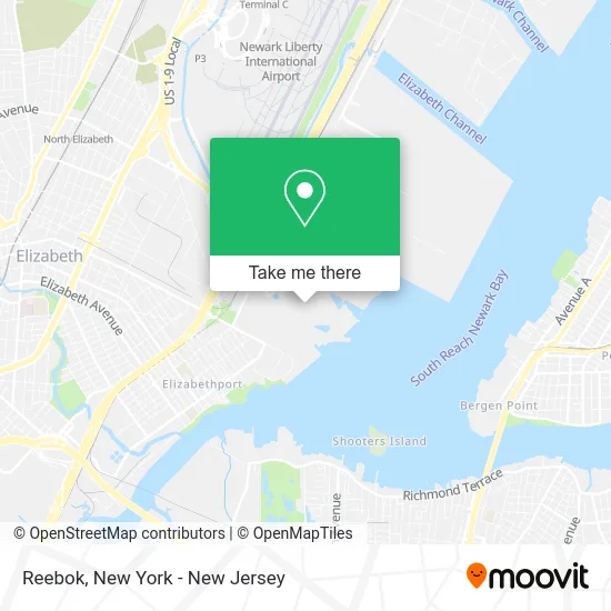
See Reebok, Elizabeth, on the map
Public Transit to Reebok in Elizabeth
Wondering how to get to Reebok in Elizabeth? Moovit helps you find the best way to get to Reebok with step-by-step directions from the nearest public transit station.
Moovit provides free maps and live directions to help you navigate through your city. View schedules, routes, timetables, and find out how long does it take to get to Reebok in real time.
Looking for the nearest stop or station to Reebok? Check out this list of stops closest to your destination: Jersey Gardens - Main Entrance; Jersey Gardens - Cinema Bus Stop; North Elizabeth.
Bus: 111, 24, 40, 115.Train: NC, NJCL.
Want to see if there’s another route that gets you there at an earlier time? Moovit helps you find alternative routes or times. Get directions from and directions to Reebok easily from the Moovit App or Website.
We make riding to Reebok easy, which is why over 1.5 million users, including users in Elizabeth, trust Moovit as the best app for public transit. You don’t need to download an individual bus app or train app, Moovit is your all-in-one transit app that helps you find the best bus time or train time available.
For information on prices of bus, subway and light rail, costs and ride fares to Reebok, please check the Moovit app.
Use the app to navigate to popular places including to the airport, hospital, stadium, grocery store, mall, coffee shop, school, college, and university.
Reebok Address: 651 Kapkowski Rd Elizabeth, NJ 07201 street in Elizabeth
- Bella Shoes,
- U.S. Polo,
- Go Pixel Yourself,
- Libertyx Bitcoin ATM,
- VF Outlet Jersey Gard,
- Hot Topic,
- Miniso,
- Direct SAT TV,
- Jersey Gardens Optometric,
- Simon Malls,
- Shoe Dept.,
- Lindt,
- Relaxation Station,
- Birkenstock,
- Bellagio Fine Jewelry,
- Threading Brow Bar,
- Select Comfort,
- Centro Comercial Jersey Gardens,
- Spencer's,
- VICTORIA'S SECRET
Places Near Reebok (Elizabeth)
- Mountainside Hospital, Glen Ridge,
- Hudson Yards, Manhattan,
- Chinatown, Manhattan,
- 26 Federal Plaza, Manhattan,
- Queens Center Mall, Queens,
- 66 John Street, Manhattan,
- 111 Centre New York City Supreme Court, Manhattan,
- Katz's Deli, Manhattan,
- Bellevue Hospital, Manhattan,
- Times Square, Manhattan,
- Pier 83, Manhattan,
- 911 Memorial, Manhattan,
- Wall Street, Manhattan,
- Rockefeller Center, Manhattan,
- San Gennaro Feast, Manhattan,
- SoHo, Manhattan,
- 3 Stone St, Manhattan,
- 376 Hudson Street, Manhattan,
- qqqq, Manhattan,
- 1 Police Plaza, Manhattan
How to get to popular places in New York - New Jersey with public transit
Get around Elizabeth by public transit!
Traveling around Elizabeth has never been so easy. See step by step directions as you travel to any attraction, street or major public transit station. View bus and train schedules, arrival times, service alerts and detailed routes on a map, so you know exactly how to get to anywhere in Elizabeth.
When traveling to any destination around Elizabeth use Moovit's Live Directions with Get Off Notifications to know exactly where and how far to walk, how long to wait for your line, and how many stops are left. Moovit will alert you when it's time to get off — no need to constantly re-check whether yours is the next stop.
Wondering how to use public transit in Elizabeth or how to pay for public transit in Elizabeth? Moovit public transit app can help you navigate your way with public transit easily, and at minimum cost. It includes public transit fees, ticket prices, and costs. Looking for a map of Elizabeth public transit lines? Moovit public transit app shows all public transit maps in Elizabeth with all Bus, Train, Subway, Light Rail, Ferry and Cable Car routes and stops on an interactive map.
New York - New Jersey has 6 transit type(s), including: Bus, Train, Subway, Light Rail, Ferry and Cable Car, operated by several transit agencies, including MTA Subway, Metro-North Railroad, LIRR, PATH, MTA New York City Transit - Express routes, MTA Bus, NJ Transit, NYC Ferry, NICE bus, Bee-Line Bus, NJ Transit Rail, Norwalk Transit District, Hartford Line, River Valley Transit and HART