How to get to Refan Cake by bus?
Click on the bus route to see step by step directions with maps, line arrival times and updated time schedules.
From Soto Kare, Surakarta
29 minFrom Gedung Pusat MTA, Surakarta
46 minFrom Jlopo, Sukoharjo
85 minFrom Jalan Baki - Solo, Sukoharjo
81 minFrom Masjid Raya Fatimah, Surakarta
44 minFrom Toko Oleh - oleh Bu Cokro, Jongke, Surakarta
37 minFrom Kota Wonogiri, Surakarta
53 minFrom Gedung IPHI baron, Surakarta
43 minFrom DPRD surakarta, Surakarta
31 minFrom Toko Kain Sasami, Surakarta
49 min
Bus stop near Refan Cake in Karanganyar
- Terminal Kartasura, 15 min walk,VIEW
Bus lines to Refan Cake in Karanganyar
What are the closest stations to Refan Cake?
The closest stations to Refan Cake are:
- Terminal Kartasura is 1139 meters away, 15 min walk.
Which bus lines stop near Refan Cake?
These bus lines stop near Refan Cake: K1, K3, K4.
What’s the nearest bus station to Refan Cake in Karanganyar?
The nearest bus station to Refan Cake in Karanganyar is Terminal Kartasura. It’s a 15 min walk away.
What time is the first bus to Refan Cake in Karanganyar?
The K3 is the first bus that goes to Refan Cake in Karanganyar. It stops nearby at 4:30 AM.
What time is the last bus to Refan Cake in Karanganyar?
The K4 is the last bus that goes to Refan Cake in Karanganyar. It stops nearby at 9:48 PM.
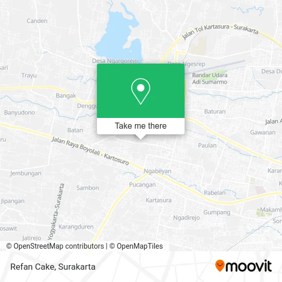
See Refan Cake, Karanganyar, on the map
Public Transit to Refan Cake in Karanganyar
Wondering how to get to Refan Cake in Karanganyar? Moovit helps you find the best way to get to Refan Cake with step-by-step directions from the nearest public transit station.
Moovit provides free maps and live directions to help you navigate through your city. View schedules, routes, timetables, and find out how long does it take to get to Refan Cake in real time.
Looking for the nearest stop or station to Refan Cake? Check out this list of stops closest to your destination: Terminal Kartasura.
Bus: K1, K3, K4, K5.
Want to see if there’s another route that gets you there at an earlier time? Moovit helps you find alternative routes or times. Get directions from and directions to Refan Cake easily from the Moovit App or Website.
We make riding to Refan Cake easy, which is why over 1.5 million users, including users in Karanganyar, trust Moovit as the best app for public transit. You don’t need to download an individual bus app or train app, Moovit is your all-in-one transit app that helps you find the best bus time or train time available.
For information on prices of bus, costs and ride fares to Refan Cake, please check the Moovit app.
Use the app to navigate to popular places including to the airport, hospital, stadium, grocery store, mall, coffee shop, school, college, and university.
Refan Cake Address: Sukoharjo 57558 street in Karanganyar
- Cafe Emperio,
- Cindy,
- Toko Wendy,
- Toko Hendra Lestari,
- Agen Bri Link,
- Warung Madura Rahman,
- Warung Slametoko,
- Rica Mentok Pedas Mantap Noemani,
- Ya Disini,
- Omah Sozzis Sosialita,
- Renz.Makeup Studio,
- Abadi78 Beer Shop,
- 007 Karaoke,
- Kedai 57,
- Wisma Mustika,
- Lapo Sitanggang,
- Jumiyati,
- Terminal kartosuro,
- Bengkel Mobil Mitra Mandiri,
- Pt. Antarmitra Sembada Cabang Solo
Places Near Refan Cake (Karanganyar)
- RSUD Dr. Moewardi, Surakarta,
- Dr. Hendrato Budiono, M.Sc, Sp.PD (Klinik Padma), Surakarta,
- RS. Ortopedi Prof. DR. R. Soeharso, Surakarta,
- RS Dr Soeharso, Surakarta,
- Halte Pasar Gede, Surakarta,
- Rumah Sakit Ortopedi Dr Soeharso Surakarta, Surakarta,
- IAIN Surakarta, Surakarta,
- Solo Paragon Mall, Surakarta,
- Halte BST Purwosari, Surakarta,
- karangpandan, Karanganyar,
- Terminal Tawangmangu, Surakarta,
- Jalan Solo - Purwodadi, Surakarta,
- Rsud Dr. Moewardi Surakarta, Surakarta,
- Masjid Riyadh, Surakarta,
- Singkong Keju cab.Ygy (SMA 7), Surakarta,
- Candi Cetho, Surakarta,
- Kampung Batik Kauman, Surakarta,
- Boyolali,Jawa Tengah, Surakarta,
- Halte BST Solo Square, Surakarta,
- Tawang Mangu, Karanganyar
How to get to popular places in Surakarta with public transit
Get around Karanganyar by public transit!
Traveling around Karanganyar has never been so easy. See step by step directions as you travel to any attraction, street or major public transit station. View bus and train schedules, arrival times, service alerts and detailed routes on a map, so you know exactly how to get to anywhere in Karanganyar.
When traveling to any destination around Karanganyar use Moovit's Live Directions with Get Off Notifications to know exactly where and how far to walk, how long to wait for your line, and how many stops are left. Moovit will alert you when it's time to get off — no need to constantly re-check whether yours is the next stop.
Wondering how to use public transit in Karanganyar or how to pay for public transit in Karanganyar? Moovit public transit app can help you navigate your way with public transit easily, and at minimum cost. It includes public transit fees, ticket prices, and costs. Looking for a map of Karanganyar public transit lines? Moovit public transit app shows all public transit maps in Karanganyar with all Bus and Train routes and stops on an interactive map.
Surakarta has 2 transit type(s), including: Bus and Train, operated by several transit agencies, including Batik Solo Trans, Feeder BST, PT Kereta Api Indonesia and KAI Commuter