How to get to Reiser by bus?
Click on the bus route to see step by step directions with maps, line arrival times and updated time schedules.
From Globus Restaurant Waghäusel, Waghäusel
142 minFrom Thermen & Badewelt Sinsheim, Sinsheim
115 minFrom SAP Campus, Walldorf
114 minFrom Antalya Pizza & Kebaphaus, Verwaltungsgemeinschaft Eppingen
129 minFrom SAP Headquarters, Walldorf
110 minFrom Vulpiusklinik, Bad Rappenau
195 minFrom SAP Walldorf P18, Walldorf
109 minFrom Heilbronner Straße 86, Verwaltungsgemeinschaft Brackenheim
203 min
Bus stops near Reiser in Östringen
- Tiefenbach Rathaus, 4 min walk,VIEW
Train stations near Reiser in Östringen
- Odenheim, 55 min walk,VIEW
What are the closest stations to Reiser?
The closest stations to Reiser are:
- Tiefenbach Rathaus is 248 meters away, 4 min walk.
- Odenheim is 4263 meters away, 55 min walk.
Which bus lines stop near Reiser?
These bus lines stop near Reiser: 134, 675, 763.
What’s the nearest bus station to Reiser in Östringen?
The nearest bus station to Reiser in Östringen is Tiefenbach Rathaus. It’s a 4 min walk away.
What time is the first train to Reiser in Östringen?
The S31 is the first train that goes to Reiser in Östringen. It stops nearby at 4:40 AM.
What time is the last train to Reiser in Östringen?
The S31 is the last train that goes to Reiser in Östringen. It stops nearby at 1:35 AM.
What time is the first bus to Reiser in Östringen?
The 134 is the first bus that goes to Reiser in Östringen. It stops nearby at 4:24 AM.
What time is the last bus to Reiser in Östringen?
The 134 is the last bus that goes to Reiser in Östringen. It stops nearby at 8:29 PM.
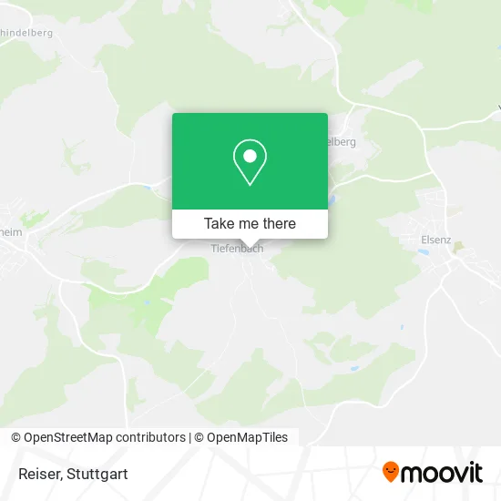
See Reiser, Östringen, on the map
Public Transit to Reiser in Östringen
Wondering how to get to Reiser in Östringen? Moovit helps you find the best way to get to Reiser with step-by-step directions from the nearest public transit station.
Moovit provides free maps and live directions to help you navigate through your city. View schedules, routes, timetables, and find out how long does it take to get to Reiser in real time.
Looking for the nearest stop or station to Reiser? Check out this list of stops closest to your destination: Tiefenbach Rathaus; Odenheim.
Bus: 134, 675, 763.Train: FEX, S31, S31, FEX.
Want to see if there’s another route that gets you there at an earlier time? Moovit helps you find alternative routes or times. Get directions from and directions to Reiser easily from the Moovit App or Website.
We make riding to Reiser easy, which is why over 1.5 million users, including users in Östringen, trust Moovit as the best app for public transit. You don’t need to download an individual bus app or train app, Moovit is your all-in-one transit app that helps you find the best bus time or train time available.
For information on prices of bus, train and light rail, costs and ride fares to Reiser, please check the Moovit app.
Use the app to navigate to popular places including to the airport, hospital, stadium, grocery store, mall, coffee shop, school, college, and university.
Reiser Address: Raiffeisenstraße 3 Tiefenbach, 76684 Östringen street in Östringen
- Tiefenbach (Baden),
- Kirchparkplatz,
- Kraichgautanne,
- Feuerwehrparkplatz,
- Freiwillige Feuerwehr Östringen Feuerwehrhaus Tiefenbach,
- Feuerwehr Tiefenbach,
- H. Bloch, H. Bloch & T. Bloch,
- St. Johannes,
- Nuglisch & Spreu,
- Kidz-Schapp,
- N. Hambalek,
- Volksbank,
- Volksbank Bruhrain-Kraich-Hardt Zwst. Tiefenbach,
- Bäckerei Deusch,
- Winzergenossenschaft Tiefenbach im Kraichgau,
- Sägewerk Reiser,
- Krone,
- Gerhard Pfeiffer,
- Gasthaus Krone,
- Liane Dewald Wellness & Maßagen
Places Near Reiser (Östringen)
- Mercedes-Benz Museum, Bad Cannstatt,
- Waldfriedhof, Degerloch,
- Geilhaus Haus 33a, Reutlingen-Betzingen,
- Hauptbahnhof Stuttgart, Stuttgart-Mitte,
- Mercedes-Benz Museum (Mercedes Museum Stuttgart), Bad Cannstatt,
- Pariser Platz Stuttgart, Stuttgart-Mitte,
- Gleis 101/102 (tief), Stuttgart-Mitte,
- SI-Centrum, Möhringen,
- Hanns-Martin-Schleyer-Halle, Bad Cannstatt,
- Schleyerhalle, Bad Cannstatt,
- Wilhelma (U-Bahn Wilhelma), Bad Cannstatt,
- Klinikum Stuttgart - Katharinenhospital, Stuttgart-Mitte,
- FlixBus Haltestelle, Stuttgart,
- Hanns-Martin-Schleyer-Halle (Stuttgart Hans-Martin-Schleyerhalle), Bad Cannstatt,
- Porsche Museum, Zuffenhausen,
- Porsche-Arena, Bad Cannstatt,
- Mettingen Eros-Center Puff Laufhaus, Esslingen Am Neckar,
- Marmorsaal Im Weissenburgpark, Stuttgart-Süd,
- Gasometer Pforzheim, Pforzheim,
- Im Wizemann (Halle), Bad Cannstatt
How to get to popular places in Stuttgart with public transit
Get around Östringen by public transit!
Traveling around Östringen has never been so easy. See step by step directions as you travel to any attraction, street or major public transit station. View bus and train schedules, arrival times, service alerts and detailed routes on a map, so you know exactly how to get to anywhere in Östringen.
When traveling to any destination around Östringen use Moovit's Live Directions with Get Off Notifications to know exactly where and how far to walk, how long to wait for your line, and how many stops are left. Moovit will alert you when it's time to get off — no need to constantly re-check whether yours is the next stop.
Wondering how to use public transit in Östringen or how to pay for public transit in Östringen? Moovit public transit app can help you navigate your way with public transit easily, and at minimum cost. It includes public transit fees, ticket prices, and costs. Looking for a map of Östringen public transit lines? Moovit public transit app shows all public transit maps in Östringen with all Bus, Train, Subway, Light Rail, Ferry, S-Bahn and Funicular routes and stops on an interactive map.
Stuttgart has 7 transit type(s), including: Bus, Train, Subway, Light Rail, Ferry, S-Bahn and Funicular, operated by several transit agencies, including SSB - Stadtbahn, SSB, SSB - Seilbahn / Zacke, S-Bahn Stuttgart, Rhein-Neckar-Verkehr GmbH (rnv), Karlsruher Verkehrsverbund, DB AG, DB Regiobus BW, Arverio Baden-Württemberg GmbH, DB RegioNetz Verkehrs GmbH Westfrankenbahn, DB Regio AG Baden-Württemberg, Südwestdeutsche Verkehrs-AG, DB Regio AG Mitte Region Hessen, DB and Bodensee-Oberschwaben-Bahn