How to get to Rekey Locks by bus?
Click on the bus route to see step by step directions with maps, line arrival times and updated time schedules.
From Hookers & Blow, Fairfax County
69 minFrom Leesburg Corner Premium Outlet, Loudoun County
61 minFrom Hollywood Casino at Charles Town Races, Fairfax County
104 minFrom Amazon Web Services - IAD21, Fairfax County
68 minFrom Chantilly, VA, Fairfax County
90 minFrom Reston Town Center, Fairfax County
60 minFrom Dulles Discovery, Fairfax County
81 minFrom Amazon Iad28, Fairfax County
61 min
Bus stops near Rekey Locks in Loudoun County
What are the closest stations to Rekey Locks?
The closest stations to Rekey Locks are:
- Cromwell Road & Edds Drive is 665 yards away, 9 min walk.
- Ridgetop Cir & Loudoun Tech Dr is 1294 yards away, 16 min walk.
Which bus lines stop near Rekey Locks?
These bus lines stop near Rekey Locks: 322, 70, 81, 924.
What’s the nearest bus station to Rekey Locks in Loudoun County?
The nearest bus station to Rekey Locks in Loudoun County is Cromwell Road & Edds Drive. It’s a 9 min walk away.
What time is the first bus to Rekey Locks in Loudoun County?
The 81 is the first bus that goes to Rekey Locks in Loudoun County. It stops nearby at 7:05 AM.
What time is the last bus to Rekey Locks in Loudoun County?
The 70 is the last bus that goes to Rekey Locks in Loudoun County. It stops nearby at 9:50 PM.
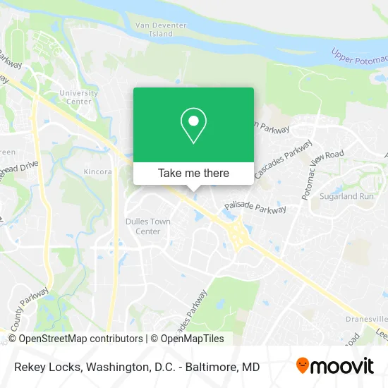
See Rekey Locks, Loudoun County, on the map
Public Transit to Rekey Locks in Loudoun County
Wondering how to get to Rekey Locks in Loudoun County? Moovit helps you find the best way to get to Rekey Locks with step-by-step directions from the nearest public transit station.
Moovit provides free maps and live directions to help you navigate through your city. View schedules, routes, timetables, and find out how long does it take to get to Rekey Locks in real time.
Looking for the nearest stop or station to Rekey Locks? Check out this list of stops closest to your destination: Cromwell Road & Edds Drive; Ridgetop Cir & Loudoun Tech Dr.
Bus: 322, 70, 81, 924.
Want to see if there’s another route that gets you there at an earlier time? Moovit helps you find alternative routes or times. Get directions from and directions to Rekey Locks easily from the Moovit App or Website.
We make riding to Rekey Locks easy, which is why over 1.5 million users, including users in Loudoun County, trust Moovit as the best app for public transit. You don’t need to download an individual bus app or train app, Moovit is your all-in-one transit app that helps you find the best bus time or train time available.
For information on prices of bus and metro, costs and ride fares to Rekey Locks, please check the Moovit app.
Use the app to navigate to popular places including to the airport, hospital, stadium, grocery store, mall, coffee shop, school, college, and university.
Rekey Locks Address: 10 Pidgeon Hill Dr Sterling, VA 20165 street in Loudoun County
- It Consulting Zenith,
- Countryside Commercial and Professional Center,
- Revival River,
- Solo Esthetics and Skin Spa,
- Successful Christian Life,
- Hijama & Cupping Therapy,
- Radiology Imaging Assoc,
- Connect First Family Chiropractic,
- Lovely Therapy,
- Brandywine Drumlabels,
- Golf Vista Stars Academy,
- Cafe Techs,
- Airrosti Rehab Center,
- Jackson Harlow Beauty,
- Plumbing Tankless Water Heaters Plumbers,
- Democratic Headquarters Sterling Office,
- American Crypto Bitcoin ATM,
- Countryside Shopping Center,
- Washington Suburban Press Network,
- Pidgeon Hill Change Locks
Places Near Rekey Locks (Loudoun County)
- The Anthem, Washington,
- PG Mall, Prince George's County,
- Georgetown, Washington,
- M&T Bank Stadium, Baltimore,
- Basilica of the National Shrine, Washington,
- National Museum of African American History and Culture, Washington,
- Museum Of The Bible, Washington,
- Rock Creek Tennis Center, Washington,
- Marriott Marquis Washington, DC, Washington,
- Amazon Hq2, Arlington County,
- National Mall, Washington,
- Pennsylvania Ave NW (3rd st and pennsylvania), Washington,
- Warner Theatre, Washington,
- Sibley Memorial Hospital, Washington,
- Westfield Montgomery Mall, Montgomery County,
- Washington DC VA Medical Center, Washington,
- Camden Yards, Baltimore,
- Capital One Arena, Washington,
- National Zoo, Washington,
- Washington National Cathedral, Washington
How to get to popular places in Washington, D.C. - Baltimore, MD with public transit
Get around Loudoun County by public transit!
Traveling around Loudoun County has never been so easy. See step by step directions as you travel to any attraction, street or major public transit station. View bus and train schedules, arrival times, service alerts and detailed routes on a map, so you know exactly how to get to anywhere in Loudoun County.
When traveling to any destination around Loudoun County use Moovit's Live Directions with Get Off Notifications to know exactly where and how far to walk, how long to wait for your line, and how many stops are left. Moovit will alert you when it's time to get off — no need to constantly re-check whether yours is the next stop.
Wondering how to use public transit in Loudoun County or how to pay for public transit in Loudoun County? Moovit public transit app can help you navigate your way with public transit easily, and at minimum cost. It includes public transit fees, ticket prices, and costs. Looking for a map of Loudoun County public transit lines? Moovit public transit app shows all public transit maps in Loudoun County with all Bus, Train, Metro, Light Rail and Ferry routes and stops on an interactive map.
Washington, D.C. - Baltimore, MD has 5 transit type(s), including: Bus, Train, Metro, Light Rail and Ferry, operated by several transit agencies, including WMATA, Montgomery County Ride On, Fairfax Connector, TheBus, PRTC, DASH - Alexandria, Arlington Transit (ART), RTA of Central Maryland, MDOT MTA, MDOT MTA Light RailLink, MDOT MTA Commuter Bus, MDOT MTA Local Bus, FXBGO!, Virginia Railway Express (VRE) and MARC