How to get to Reno by bus?
Click on the bus route to see step by step directions with maps, line arrival times and updated time schedules.
From Friedhof Käfertal, Käfertal
75 minFrom Universitätsklinikum Heidelberg-Notaufnahme, Neuenheim
165 minFrom Globus Getränkecenter, Ludwigshafen-Oggersheim
50 minFrom Möbel Höffner, Schwetzingen
67 minFrom Thoraxklinik Heidelberg, Neuenheim
160 minFrom Marie-Baum-Schule Heidelberg, Wieblingen
158 minFrom MVV Energie Ladestation, Käfertal
62 minFrom Globus Getränkemarkt, Ludwigshafen-Oggersheim
51 minFrom GRN-Klinik Schwetzingen, Schwetzingen
111 min
How to get to Reno by train?
Click on the train route to see step by step directions with maps, line arrival times and updated time schedules.
Bus stop near Reno in Ludwigshafen-Südliche-Innenstadt
- Ludwigshafen, Rhein-Galerie, 6 min walk,VIEW
Light Rail stations near Reno in Ludwigshafen-Südliche-Innenstadt
- Ludwigshafen, Rathaus Bstg G2, 11 min walk,VIEW
Bus lines to Reno in Ludwigshafen-Südliche-Innenstadt
- RNV 6, Ludwigsh., B. Pl. Bf Lu Mitte,VIEW
What are the closest stations to Reno?
The closest stations to Reno are:
- Ludwigshafen, Rhein-Galerie is 377 meters away, 6 min walk.
- Ludwigshafen, Rathaus Bstg G2 is 750 meters away, 11 min walk.
Which train lines stop near Reno?
These train lines stop near Reno: S3, S6.
Which light rail lines stop near Reno?
These light rail lines stop near Reno: 4A, RNV 4, RNV 4A, RNV 6, RNV 6A.
Which bus lines stop near Reno?
These bus lines stop near Reno: 60, 62, 71, 710.
What’s the nearest light rail station to Reno in Ludwigshafen-Südliche-Innenstadt?
The nearest light rail station to Reno in Ludwigshafen-Südliche-Innenstadt is Ludwigshafen, Rathaus Bstg G2. It’s a 11 min walk away.
What’s the nearest bus station to Reno in Ludwigshafen-Südliche-Innenstadt?
The nearest bus station to Reno in Ludwigshafen-Südliche-Innenstadt is Ludwigshafen, Rhein-Galerie. It’s a 6 min walk away.
What time is the first light rail to Reno in Ludwigshafen-Südliche-Innenstadt?
The 4 is the first light rail that goes to Reno in Ludwigshafen-Südliche-Innenstadt. It stops nearby at 4:01 AM.
What time is the last light rail to Reno in Ludwigshafen-Südliche-Innenstadt?
The 4 is the last light rail that goes to Reno in Ludwigshafen-Südliche-Innenstadt. It stops nearby at 1:24 AM.
What time is the first bus to Reno in Ludwigshafen-Südliche-Innenstadt?
The 90E is the first bus that goes to Reno in Ludwigshafen-Südliche-Innenstadt. It stops nearby at 4:25 AM.
What time is the last bus to Reno in Ludwigshafen-Südliche-Innenstadt?
The 6 is the last bus that goes to Reno in Ludwigshafen-Südliche-Innenstadt. It stops nearby at 12:35 AM.
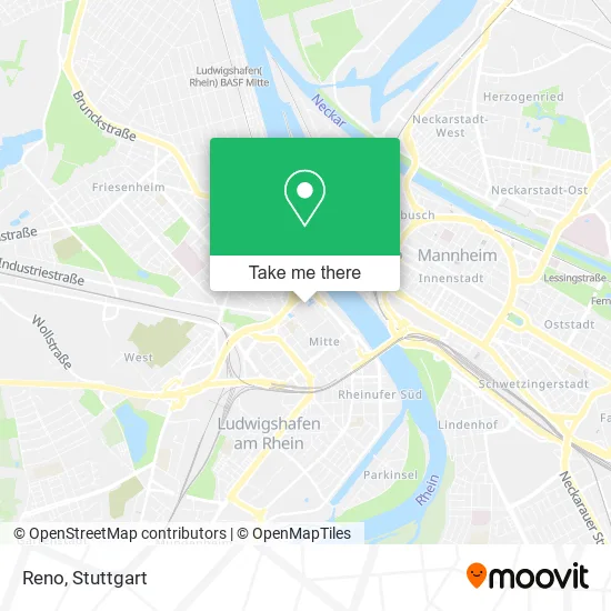
See Reno, Ludwigshafen-Südliche-Innenstadt, on the map
Public Transit to Reno in Ludwigshafen-Südliche-Innenstadt
Wondering how to get to Reno in Ludwigshafen-Südliche-Innenstadt? Moovit helps you find the best way to get to Reno with step-by-step directions from the nearest public transit station.
Moovit provides free maps and live directions to help you navigate through your city. View schedules, routes, timetables, and find out how long does it take to get to Reno in real time.
Looking for the nearest stop or station to Reno? Check out this list of stops closest to your destination: Ludwigshafen; Ludwigshafen.
Train: S3, S6.Light Rail: 4A, RNV 4, RNV 4A, RNV 6, RNV 6A.Bus: 60, 62, 71, 710, RNV 6.
Want to see if there’s another route that gets you there at an earlier time? Moovit helps you find alternative routes or times. Get directions from and directions to Reno easily from the Moovit App or Website.
We make riding to Reno easy, which is why over 1.5 million users, including users in Ludwigshafen-Südliche-Innenstadt, trust Moovit as the best app for public transit. You don’t need to download an individual bus app or train app, Moovit is your all-in-one transit app that helps you find the best bus time or train time available.
For information on prices of light rail, bus and train, costs and ride fares to Reno, please check the Moovit app.
Use the app to navigate to popular places including to the airport, hospital, stadium, grocery store, mall, coffee shop, school, college, and university.
Reno Address: Rathausplatz 18 Mitte, 67059 Ludwigshafen am Rhein street in Ludwigshafen-Südliche-Innenstadt
- Werbeagentur Digide,
- Blume 2000,
- Tunnel-Rathaus,
- Fotofix,
- Rathaus-Center Ludwigshafen,
- Bonita Men,
- Syburra Klimatechnik,
- Rats-Apotheke Inh.Salica Wünsche von Leupoldt,
- Ju-Jutsu- Verband,
- Euro-Ustech,
- Schülerhilfe,
- Lichttor,
- Hdi Versicherungen: Oliver Bleicher,
- Barbarino,
- Thomas Gerung Reisebüro Mein,
- Café San Marco,
- Weltbild Filiale Ludwigshafen,
- Hussel Süßwarenfachgeschäfte,
- Xenos - Abenteuerliches Einkaufen,
- Brotladen Görtz
Places Near Reno (Ludwigshafen-Südliche-Innenstadt)
- Porsche Museum, Zuffenhausen,
- Schleyerhalle, Bad Cannstatt,
- Porsche-Arena, Bad Cannstatt,
- Pariser Platz Stuttgart, Stuttgart-Mitte,
- Geilhaus Haus 33a, Reutlingen-Betzingen,
- Mettingen Eros-Center Puff Laufhaus, Esslingen Am Neckar,
- Im Wizemann (Halle), Bad Cannstatt,
- FlixBus Haltestelle, Stuttgart,
- Hanns-Martin-Schleyer-Halle (Stuttgart Hans-Martin-Schleyerhalle), Bad Cannstatt,
- Mercedes-Benz Museum (Mercedes Museum Stuttgart), Bad Cannstatt,
- Klinikum Stuttgart - Katharinenhospital, Stuttgart-Mitte,
- Gasometer Pforzheim, Pforzheim,
- Marmorsaal Im Weissenburgpark, Stuttgart-Süd,
- Gleis 101/102 (tief), Stuttgart-Mitte,
- Hauptbahnhof Stuttgart, Stuttgart-Mitte,
- Waldfriedhof, Degerloch,
- Mercedes-Benz Museum, Bad Cannstatt,
- Hanns-Martin-Schleyer-Halle, Bad Cannstatt,
- Wilhelma (U-Bahn Wilhelma), Bad Cannstatt,
- SI-Centrum, Möhringen
How to get to popular places in Stuttgart with public transit
Get around Ludwigshafen-Südliche-Innenstadt by public transit!
Traveling around Ludwigshafen-Südliche-Innenstadt has never been so easy. See step by step directions as you travel to any attraction, street or major public transit station. View bus and train schedules, arrival times, service alerts and detailed routes on a map, so you know exactly how to get to anywhere in Ludwigshafen-Südliche-Innenstadt.
When traveling to any destination around Ludwigshafen-Südliche-Innenstadt use Moovit's Live Directions with Get Off Notifications to know exactly where and how far to walk, how long to wait for your line, and how many stops are left. Moovit will alert you when it's time to get off — no need to constantly re-check whether yours is the next stop.
Wondering how to use public transit in Ludwigshafen-Südliche-Innenstadt or how to pay for public transit in Ludwigshafen-Südliche-Innenstadt? Moovit public transit app can help you navigate your way with public transit easily, and at minimum cost. It includes public transit fees, ticket prices, and costs. Looking for a map of Ludwigshafen-Südliche-Innenstadt public transit lines? Moovit public transit app shows all public transit maps in Ludwigshafen-Südliche-Innenstadt with all Bus, Train, Subway, Light Rail, Ferry, S-Bahn and Funicular routes and stops on an interactive map.
Stuttgart has 7 transit type(s), including: Bus, Train, Subway, Light Rail, Ferry, S-Bahn and Funicular, operated by several transit agencies, including SSB - Stadtbahn, SSB, SSB - Seilbahn / Zacke, S-Bahn Stuttgart, Rhein-Neckar-Verkehr GmbH (rnv), Karlsruher Verkehrsverbund, DB AG, DB Regiobus BW, Arverio Baden-Württemberg GmbH, DB RegioNetz Verkehrs GmbH Westfrankenbahn, DB Regio AG Baden-Württemberg, Südwestdeutsche Verkehrs-AG, DB Regio AG Mitte Region Hessen, DB and Bodensee-Oberschwaben-Bahn