Directions to Repsul Comercio de Informatica e Segurança (Tingüi) with public transportation
The following transit lines have routes that pass near Repsul Comercio de Informatica e Segurança
How to get to Repsul Comercio de Informatica e Segurança by bus?
Click on the bus route to see step by step directions with maps, line arrival times and updated time schedules.
From Rua Mariano Torres, Centro
32 minFrom Rua Hermes Fontes, Batel
49 minFrom Rua Padre Anchieta, Bigorrilho
57 minFrom Ponto de Ônibus Teatro Guaíra, Centro
33 minFrom Rua Lamenha Lins, Rebouças
52 minFrom Centro, Colombo
38 minFrom Clube Curitibano, Água Verde
50 minFrom Capela Vaticano, São Francisco
36 minFrom Rua Nilo Cairo, Centro
29 minFrom Estação Tubo Silva Jardim, Água Verde
51 min
Bus stops near Repsul Comercio de Informatica e Segurança in Tingüi
Bus lines to Repsul Comercio de Informatica e Segurança in Tingüi
- 030 INTERBAIRROS III, Terminal Bairro Alto → Terminal Santa Cândida,VIEW
- O69 MAD. QUATRO BARRAS / SANTA CÂNDIDA, Terminal Santa Cândida → Terminal Quatro Barras,VIEW
- 238 ATUBA / SANTA CÂNDIDA, Terminal Santa Cândida → Estação Atuba,VIEW
- 214 TINGUI, Terminal Santa Cândida → Terminal Cabral,VIEW
- 237 PARQUE ATUBA, Terminal Santa Cândida ↺ Parque Atuba (Circular),VIEW
What are the closest stations to Repsul Comercio de Informatica e Segurança?
The closest stations to Repsul Comercio de Informatica e Segurança are:
- Av. Marechal Mascarenhas de Moraes, 1411 is 70 meters away, 2 min walk.
- R. Ghaze Saleh, 200 is 104 meters away, 2 min walk.
- R. Odete Laura Foggiato, 116 is 853 meters away, 11 min walk.
Which bus lines stop near Repsul Comercio de Informatica e Segurança?
These bus lines stop near Repsul Comercio de Informatica e Segurança: 030 INTERBAIRROS III, 214 TINGUI.
What’s the nearest bus station to Repsul Comercio de Informatica e Segurança in Tingüi?
The nearest bus stations to Repsul Comercio de Informatica e Segurança in Tingüi are Av. Marechal Mascarenhas de Moraes, 1411 and R. Ghaze Saleh, 200. The closest one is a 2 min walk away.
What time is the first bus to Repsul Comercio de Informatica e Segurança in Tingüi?
The O69 MAD. QUATRO BARRAS / SANTA CÂNDIDA is the first bus that goes to Repsul Comercio de Informatica e Segurança in Tingüi. It stops nearby at 4:12 AM.
What time is the last bus to Repsul Comercio de Informatica e Segurança in Tingüi?
The 030 INTERBAIRROS III is the last bus that goes to Repsul Comercio de Informatica e Segurança in Tingüi. It stops nearby at 12:46 AM.
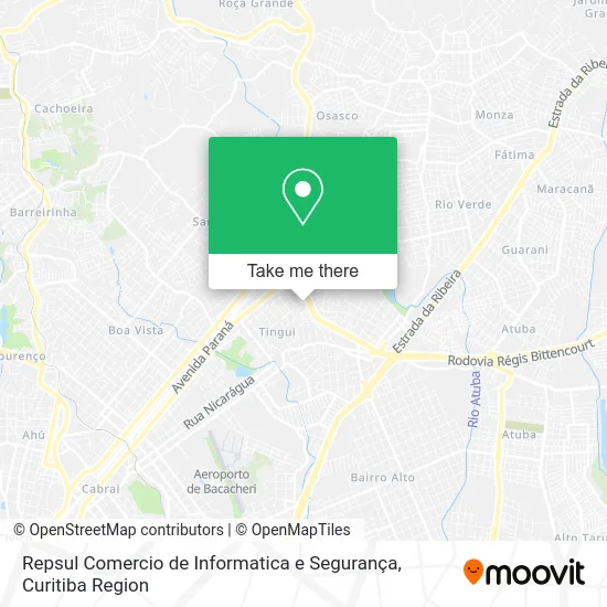
See Repsul Comercio de Informatica e Segurança, Tingüi, on the map
Public Transit to Repsul Comercio de Informatica e Segurança in Tingüi
Wondering how to get to Repsul Comercio de Informatica e Segurança in Tingüi? Moovit helps you find the best way to get to Repsul Comercio de Informatica e Segurança with step-by-step directions from the nearest public transit station.
Moovit provides free maps and live directions to help you navigate through your city. View schedules, routes, timetables, and find out how long does it take to get to Repsul Comercio de Informatica e Segurança in real time.
Looking for the nearest stop or station to Repsul Comercio de Informatica e Segurança? Check out this list of stops closest to your destination: Av. Marechal Mascarenhas de Moraes; R. Ghaze Saleh; R. Odete Laura Foggiato.
Bus: 030 INTERBAIRROS III, 214 TINGUI, O69 MAD. QUATRO BARRAS / SANTA CÂNDIDA, 238 ATUBA / SANTA CÂNDIDA, 237 PARQUE ATUBA.
Want to see if there’s another route that gets you there at an earlier time? Moovit helps you find alternative routes or times. Get directions from and directions to Repsul Comercio de Informatica e Segurança easily from the Moovit App or Website.
We make riding to Repsul Comercio de Informatica e Segurança easy, which is why over 1.5 million users, including users in Tingüi, trust Moovit as the best app for public transit. You don’t need to download an individual bus app or train app, Moovit is your all-in-one transit app that helps you find the best bus time or train time available.
For information on prices of bus, costs and ride fares to Repsul Comercio de Informatica e Segurança, please check the Moovit app.
Use the app to navigate to popular places including to the airport, hospital, stadium, grocery store, mall, coffee shop, school, college, and university.
Repsul Comercio de Informatica e Segurança Address: Rua Ghaze Saleh, 300 Tinguí Curitiba-PR 82620-320 street in Tingüi
- Anzutec Tecnologia da Informacao,
- Renata Schmitt Nascimento Faria,
- Mariela Araujo,
- Igreja Evangélica Templo das Águias,
- Refugius Boate Show,
- Iluminei Trilhos de Iluminacao,
- Tadzio Martins Consultório Odontologico,
- Rua Felisbino Passos, 795 - Tingui,
- Cyber Preparacoes,
- Olivettos,
- Imperio,
- Salão Silvia,
- Dormentes Curitiba,
- Tudoisp,
- Salbrasa Espetinhos,
- Link Car - Centro Automotivo,
- Alpha Comércio de Material de Construção e Manutenção Ltda,
- Ellegance Móveis,
- Ricardo Pneus,
- Klosett Acessórios
Places Near Repsul Comercio de Informatica e Segurança (Tingüi)
- Rua General Mário Tourinho, Campina Do Siqueira,
- Parque Barigui, Mercês,
- Campo Largo, Campo,
- Hospital Da Cruz Vermelha, Batel,
- Hospital Angelina Caron, Campina Grande Do Sul,
- Arena Da Baixada - Curitiba,
- Hhhhh, Fazendinha,
- Shopping Estação, Rebouças,
- Hospital Madalena Sofia, Bairro Alto,
- Park Shopping Barigüi, Mossunguê,
- Hospital Nossa Senhora Das Graças, Mercês,
- Hospital de Clínicas (HC - UFPR), Centro,
- Rua Martim Afonso 558, Mercês,
- Jardim Botânico de Curitiba PR, Centro,
- Shopping Palladium, Portão,
- Hospital Erasto Gaertner, Jardim Das Américas,
- Jockey Plaza Shopping Center, Tarumã,
- Hospital Universitário Evangélico de Curitiba, Bigorrilho,
- Hospital do Rocio, Campo,
- Pontifícia Universidade Católica do Paraná (PUCPR), Prado Velho
How to get to popular places in Curitiba Region with public transit
Get around Tingüi by public transit!
Traveling around Tingüi has never been so easy. See step by step directions as you travel to any attraction, street or major public transit station. View bus and train schedules, arrival times, service alerts and detailed routes on a map, so you know exactly how to get to anywhere in Tingüi.
When traveling to any destination around Tingüi use Moovit's Live Directions with Get Off Notifications to know exactly where and how far to walk, how long to wait for your line, and how many stops are left. Moovit will alert you when it's time to get off — no need to constantly re-check whether yours is the next stop.
Wondering how to use public transit in Tingüi or how to pay for public transit in Tingüi? Moovit public transit app can help you navigate your way with public transit easily, and at minimum cost. It includes public transit fees, ticket prices, and costs. Looking for a map of Tingüi public transit lines? Moovit public transit app shows all public transit maps in Tingüi with all Bus and Cable Car routes and stops on an interactive map.
Curitiba Region has 2 transit type(s), including: Bus and Cable Car, operated by several transit agencies, including Sistema Integrado de Mobilidade (URBS), Sistema Integrado de Mobilidade (AMEP), URBS (Cartões bancários e Dinheiro), URBS (Cartões bancários / Cartão URBS), AMEP (Cartões bancários / Cartão MetroCard), AMEP (Cartões bancários / Cartão MetroCard / Dinheiro), Viação Colombo (Dinheiro), TRIAR (Cartão TRIAR / Dinheiro), Empresa Curitiba Cerro Azul (Dinheiro), Expresso Nossa Senhora da Penha (Dinheiro), Empresa Campo Alto Tijucas (Dinheiro), Auto Viação São José (Cartão VEM / Dinheiro), BRT S/A (Cartão VEM / Dinheiro), TransPiedade (Cartão Cidadão / Dinheiro) and Oceânica Sul (Cartão Transporte / Dinheiro)