Directions to Requinte Lanches (São Mateus Do Sul) with public transportation
The following transit lines have routes that pass near Requinte Lanches
How to get to Requinte Lanches by bus?
Click on the bus route to see step by step directions with maps, line arrival times and updated time schedules.
From Colônia Cristina, Araucária
330 minFrom Hospital São Lucas, Campo
306 minFrom Campo Largo, Campo
301 minFrom City Center Shopping & Outlet, Campo
285 minFrom Hospital do Rocio, Campo
311 minFrom Campo Largo, Campo
301 minFrom Hospital do Rocio, Campo
274 minFrom Terminal Campo Largo, Campo
294 minFrom Upa Campo Largo, Campo
315 min
Bus stops near Requinte Lanches in São Mateus Do Sul
Bus lines to Requinte Lanches in São Mateus Do Sul
What are the closest stations to Requinte Lanches?
The closest stations to Requinte Lanches are:
- Rua Barão Do Rio Branco, 478 is 107 meters away, 2 min walk.
- Rodovia Br 476 (Do Xisto) - Ponte Rio Iguaçu is 373 meters away, 6 min walk.
- Rua Ulisses Faria, 1219 is 775 meters away, 10 min walk.
- Terminal Rodoviário De São Mateus Do Sul is 788 meters away, 11 min walk.
Which bus line stops near Requinte Lanches?
0413-500 CURITIBA / SÃO MATEUS DO SUL (VIA LAPA) (Curitiba → São Mateus Do Sul)
What’s the nearest bus station to Requinte Lanches in São Mateus Do Sul?
The nearest bus station to Requinte Lanches in São Mateus Do Sul is Rua Barão Do Rio Branco, 478. It’s a 2 min walk away.
What time is the first bus to Requinte Lanches in São Mateus Do Sul?
The L01 is the first bus that goes to Requinte Lanches in São Mateus Do Sul. It stops nearby at 6:20 AM.
What time is the last bus to Requinte Lanches in São Mateus Do Sul?
The 0413-500 CURITIBA / SÃO MATEUS DO SUL (VIA LAPA) is the last bus that goes to Requinte Lanches in São Mateus Do Sul. It stops nearby at 10:00 PM.
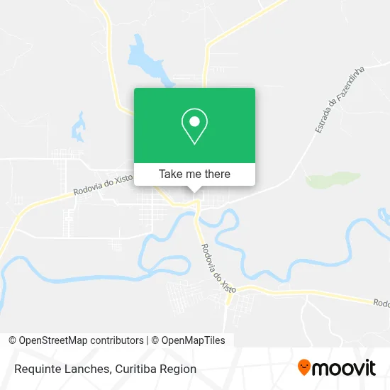
See Requinte Lanches, São Mateus Do Sul, on the map
Public Transit to Requinte Lanches in São Mateus Do Sul
Wondering how to get to Requinte Lanches in São Mateus Do Sul? Moovit helps you find the best way to get to Requinte Lanches with step-by-step directions from the nearest public transit station.
Moovit provides free maps and live directions to help you navigate through your city. View schedules, routes, timetables, and find out how long does it take to get to Requinte Lanches in real time.
Looking for the nearest stop or station to Requinte Lanches? Check out this list of stops closest to your destination: Rua Barão Do Rio Branco; Rodovia Br 476 (Do Xisto) - Ponte Rio Iguaçu; Rua Ulisses Faria; Terminal Rodoviário De São Mateus Do Sul.
Bus: 0413-500 CURITIBA / SÃO MATEUS DO SUL (VIA LAPA), L02, 1576-400 SÃO MATEUS DO SUL / ANTÔNIO OLINTO, L01.
Want to see if there’s another route that gets you there at an earlier time? Moovit helps you find alternative routes or times. Get directions from and directions to Requinte Lanches easily from the Moovit App or Website.
We make riding to Requinte Lanches easy, which is why over 1.5 million users, including users in São Mateus Do Sul, trust Moovit as the best app for public transit. You don’t need to download an individual bus app or train app, Moovit is your all-in-one transit app that helps you find the best bus time or train time available.
For information on prices of bus, costs and ride fares to Requinte Lanches, please check the Moovit app.
Use the app to navigate to popular places including to the airport, hospital, stadium, grocery store, mall, coffee shop, school, college, and university.
Requinte Lanches Address: Rua Vinte e Um de Setembro, 644 São Mateus do Sul São Mateus do Sul-PR 83900-000 street in São Mateus Do Sul
- Frango Attack,
- Grupo Barra do Iguaçu,
- Frosty Roll's Samas,
- Porto Gastronômico,
- Chadom Barbearia,
- Restaurante e Lanchonete Delícias da Praça 1,
- Conect Sul,
- Hub Prestação de Servicos,
- Zigbee Idiomas,
- Hoch e Cia Ltda,
- Kioski da Mada,
- Trajano & Cia- Filial 15,
- Laboratório Avenida,
- Marilise Fatima de Oliveira,
- Viviane Kugnharski,
- Consultorio Doutora Georgia,
- Cabanha Emboque,
- J a G Distefano Santos & Cia,
- Escritório Contábil Santos Lima,
- Casa do Fumo
Places Near Requinte Lanches (São Mateus Do Sul)
- Parque Barigui, Mercês,
- Hospital Madalena Sofia, Bairro Alto,
- Campo Largo, Campo,
- Hospital de Clínicas (HC - UFPR), Centro,
- Hhhhh, Fazendinha,
- Hospital do Rocio, Campo,
- Hospital Universitário Evangélico de Curitiba, Bigorrilho,
- Shopping Palladium, Portão,
- Hospital Da Cruz Vermelha, Batel,
- Hospital Erasto Gaertner, Jardim Das Américas,
- Jockey Plaza Shopping Center, Tarumã,
- Hospital Nossa Senhora Das Graças, Mercês,
- Arena Da Baixada - Curitiba,
- Rua General Mário Tourinho, Campina Do Siqueira,
- Rua Martim Afonso 558, Mercês,
- Park Shopping Barigüi, Mossunguê,
- Jardim Botânico de Curitiba PR, Centro,
- Hospital Angelina Caron, Campina Grande Do Sul,
- Pontifícia Universidade Católica do Paraná (PUCPR), Prado Velho,
- Shopping Estação, Rebouças
How to get to popular places in Curitiba Region with public transit
Get around São Mateus Do Sul by public transit!
Traveling around São Mateus Do Sul has never been so easy. See step by step directions as you travel to any attraction, street or major public transit station. View bus and train schedules, arrival times, service alerts and detailed routes on a map, so you know exactly how to get to anywhere in São Mateus Do Sul.
When traveling to any destination around São Mateus Do Sul use Moovit's Live Directions with Get Off Notifications to know exactly where and how far to walk, how long to wait for your line, and how many stops are left. Moovit will alert you when it's time to get off — no need to constantly re-check whether yours is the next stop.
Wondering how to use public transit in São Mateus Do Sul or how to pay for public transit in São Mateus Do Sul? Moovit public transit app can help you navigate your way with public transit easily, and at minimum cost. It includes public transit fees, ticket prices, and costs. Looking for a map of São Mateus Do Sul public transit lines? Moovit public transit app shows all public transit maps in São Mateus Do Sul with all Bus and Cable Car routes and stops on an interactive map.
Curitiba Region has 2 transit type(s), including: Bus and Cable Car, operated by several transit agencies, including Sistema Integrado de Mobilidade (URBS), Sistema Integrado de Mobilidade (AMEP), URBS (Cartões bancários e Dinheiro), URBS (Cartões bancários / Cartão URBS), AMEP (Cartões bancários / Cartão MetroCard), AMEP (Cartões bancários / Cartão MetroCard / Dinheiro), Viação Colombo (Dinheiro), TRIAR (Cartão TRIAR / Dinheiro), Empresa Curitiba Cerro Azul (Dinheiro), Expresso Nossa Senhora da Penha (Dinheiro), Empresa Campo Alto Tijucas (Dinheiro), Auto Viação São José (Cartão VEM / Dinheiro), BRT S/A (Cartão VEM / Dinheiro), TransPiedade (Cartão Cidadão / Dinheiro) and Oceânica Sul (Cartão Transporte / Dinheiro)