How to get to Response Service Group by bus?
Click on the bus route to see step by step directions with maps, line arrival times and updated time schedules.
From Walmart Supercenter, Bayonne
38 minFrom Staten Island Mall, Staten Island
35 minFrom Bayonne, NJ, Bayonne
31 minFrom Hudson Mall, Jersey City
74 minFrom Prudential Center, Newark
116 minFrom IKEA Elizabeth Shuttle Bus To Manhattan, Elizabeth
149 minFrom Immigration Court-Newark, Newark
121 minFrom Elizabeth, NJ, Elizabeth
168 minFrom HUUHHHH??, Woodbridge
170 min
Bus stops near Response Service Group in Staten Island
Light Rail stations near Response Service Group in Staten Island
- 8th Street Light Rail Station, 57 min walk,VIEW
Bus lines to Response Service Group in Staten Island
What are the closest stations to Response Service Group?
The closest stations to Response Service Group are:
- Walker St/Van Pelt Av is 103 yards away, 2 min walk.
- Richmond Terr/Van Pelt Av is 484 yards away, 6 min walk.
- 8th Street Light Rail Station is 4908 yards away, 57 min walk.
Which bus lines stop near Response Service Group?
These bus lines stop near Response Service Group: 10, S46, S89, SIM33C.
What’s the nearest bus station to Response Service Group in Staten Island?
The nearest bus station to Response Service Group in Staten Island is Walker St/Van Pelt Av. It’s a 2 min walk away.
What time is the first light rail to Response Service Group in Staten Island?
The HBLR is the first light rail that goes to Response Service Group in Staten Island. It stops nearby at 5:11 AM.
What time is the last light rail to Response Service Group in Staten Island?
The HBLR is the last light rail that goes to Response Service Group in Staten Island. It stops nearby at 2:35 AM.
What time is the first bus to Response Service Group in Staten Island?
The S40 is the first bus that goes to Response Service Group in Staten Island. It stops nearby at 3:01 AM.
What time is the last bus to Response Service Group in Staten Island?
The S40 is the last bus that goes to Response Service Group in Staten Island. It stops nearby at 3:01 AM.
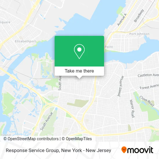
See Response Service Group, Staten Island, on the map
Public Transit to Response Service Group in Staten Island
Wondering how to get to Response Service Group in Staten Island? Moovit helps you find the best way to get to Response Service Group with step-by-step directions from the nearest public transit station.
Moovit provides free maps and live directions to help you navigate through your city. View schedules, routes, timetables, and find out how long does it take to get to Response Service Group in real time.
Looking for the nearest stop or station to Response Service Group? Check out this list of stops closest to your destination: Walker St/Van Pelt Av; Richmond Terr/Van Pelt Av; 8th Street Light Rail Station.
Bus: 10, S46, S89, SIM33C, S96, S40.
Want to see if there’s another route that gets you there at an earlier time? Moovit helps you find alternative routes or times. Get directions from and directions to Response Service Group easily from the Moovit App or Website.
We make riding to Response Service Group easy, which is why over 1.5 million users, including users in Staten Island, trust Moovit as the best app for public transit. You don’t need to download an individual bus app or train app, Moovit is your all-in-one transit app that helps you find the best bus time or train time available.
For information on prices of bus, light rail, subway and train, costs and ride fares to Response Service Group, please check the Moovit app.
Use the app to navigate to popular places including to the airport, hospital, stadium, grocery store, mall, coffee shop, school, college, and university.
Response Service Group Address: 137 Van Pelt Ave street in Staten Island
- St Clement's Roman Catholic Church,
- I AM Ministries Aka Glory International Christian Center,
- Salon Romance,
- Walker St (walker street / Van Pelt Ave),
- The Shocker,
- Studio Club. Elks,
- New York Institute For Biblical Studies,
- Air-Temp Heating & Cooling, Llc,
- Wdan Home Improvement,
- Sealed Notary Public,
- Pta Of P.S.44 Thomas C Brown School,
- P.S. 44's Little Free Library,
- PS 44,
- Huis Digital,
- All Furniture Services, Repair, Restoration & Couch Disassembly,
- Rug Upholstery Cleaning,
- Top Notch General Construction,
- Dream Day Care,
- Puroclean Of Bulls Head,
- Teiin
Places Near Response Service Group (Staten Island)
- qqqq, Manhattan,
- Mountainside Hospital, Glen Ridge,
- Chinatown, Manhattan,
- 1 Police Plaza, Manhattan,
- Wall Street, Manhattan,
- Bellevue Hospital, Manhattan,
- Times Square, Manhattan,
- Rockefeller Center, Manhattan,
- 111 Centre New York City Supreme Court, Manhattan,
- Queens Center Mall, Queens,
- 66 John Street, Manhattan,
- 26 Federal Plaza, Manhattan,
- San Gennaro Feast, Manhattan,
- Pier 83, Manhattan,
- Hudson Yards, Manhattan,
- SoHo, Manhattan,
- 911 Memorial, Manhattan,
- Katz's Deli, Manhattan,
- 3 Stone St, Manhattan,
- 376 Hudson Street, Manhattan
How to get to popular places in New York - New Jersey with public transit
Get around Staten Island by public transit!
Traveling around Staten Island has never been so easy. See step by step directions as you travel to any attraction, street or major public transit station. View bus and train schedules, arrival times, service alerts and detailed routes on a map, so you know exactly how to get to anywhere in Staten Island.
When traveling to any destination around Staten Island use Moovit's Live Directions with Get Off Notifications to know exactly where and how far to walk, how long to wait for your line, and how many stops are left. Moovit will alert you when it's time to get off — no need to constantly re-check whether yours is the next stop.
Wondering how to use public transit in Staten Island or how to pay for public transit in Staten Island? Moovit public transit app can help you navigate your way with public transit easily, and at minimum cost. It includes public transit fees, ticket prices, and costs. Looking for a map of Staten Island public transit lines? Moovit public transit app shows all public transit maps in Staten Island with all Bus, Train, Subway, Light Rail, Ferry and Cable Car routes and stops on an interactive map.
New York - New Jersey has 6 transit type(s), including: Bus, Train, Subway, Light Rail, Ferry and Cable Car, operated by several transit agencies, including MTA Subway, Metro-North Railroad, LIRR, PATH, MTA New York City Transit - Express routes, MTA Bus, NJ Transit, NYC Ferry, NICE bus, Bee-Line Bus, NJ Transit Rail, Norwalk Transit District, Hartford Line, River Valley Transit and HART