How to get to Resty Tibayan, Md by bus?
Click on the bus route to see step by step directions with maps, line arrival times and updated time schedules.
From Ccsd Bus Yard, Henderson
60 minFrom The Lion Habitat Ranch, Henderson
45 minFrom E Warm Springs Rd / N Boulder Hwy, Henderson
85 minFrom Del Sol Academy of the Performing Arts, Paradise
47 minFrom McCarran International Airport (LAS) Terminal 1, Paradise
72 minFrom Capital Sneaker Boutique, Enterprise
84 minFrom Central Church, Henderson
107 minFrom Lake Mead/Water St., Henderson
77 minFrom Town Square, Enterprise
83 minFrom St George Shuttle Pickup, Paradise
72 min
Bus stop near Resty Tibayan, Md in Henderson
- Nb Green Valley After Horizon Ridge, 6 min walk,VIEW
Bus lines to Resty Tibayan, Md in Henderson
- 221, 221 Cactus Eastbound,VIEW
What are the closest stations to Resty Tibayan, Md?
The closest stations to Resty Tibayan, Md are:
- Nb Green Valley After Horizon Ridge is 500 yards away, 6 min walk.
Which bus lines stop near Resty Tibayan, Md?
These bus lines stop near Resty Tibayan, Md: 110, 111, 221.
What’s the nearest bus station to Resty Tibayan, Md in Henderson?
The nearest bus station to Resty Tibayan, Md in Henderson is Nb Green Valley After Horizon Ridge. It’s a 6 min walk away.
What time is the first bus to Resty Tibayan, Md in Henderson?
The 221 is the first bus that goes to Resty Tibayan, Md in Henderson. It stops nearby at 5:00 AM.
What time is the last bus to Resty Tibayan, Md in Henderson?
The 221 is the last bus that goes to Resty Tibayan, Md in Henderson. It stops nearby at 12:43 AM.
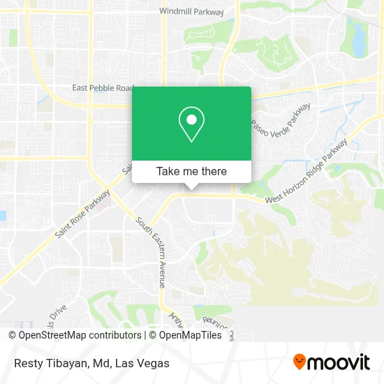
See Resty Tibayan, Md, Henderson, on the map
Public Transit to Resty Tibayan, Md in Henderson
Wondering how to get to Resty Tibayan, Md in Henderson? Moovit helps you find the best way to get to Resty Tibayan, Md with step-by-step directions from the nearest public transit station.
Moovit provides free maps and live directions to help you navigate through your city. View schedules, routes, timetables, and find out how long does it take to get to Resty Tibayan, Md in real time.
Looking for the nearest stop or station to Resty Tibayan, Md? Check out this list of stops closest to your destination: Nb Green Valley After Horizon Ridge.
Bus: 110, 111, 221.
Want to see if there’s another route that gets you there at an earlier time? Moovit helps you find alternative routes or times. Get directions from and directions to Resty Tibayan, Md easily from the Moovit App or Website.
We make riding to Resty Tibayan, Md easy, which is why over 1.7 million users, including users in Henderson, trust Moovit as the best app for public transit. You don’t need to download an individual bus app or train app, Moovit is your all-in-one transit app that helps you find the best bus time or train time available.
For information on prices of bus, costs and ride fares to Resty Tibayan, Md, please check the Moovit app.
Use the app to navigate to popular places including to the airport, hospital, stadium, grocery store, mall, coffee shop, school, college, and university.
Resty Tibayan, Md Address: 2460 W Horizon Ridge Pkwy street in Henderson
- Horizon Ridge, Green Valley Pkwy Intersection,
- Henderson, Nevada,
- Social Security Resource Center,
- W Horizon Ridge Pkwy / S Eastern Ave,
- Eastern And Horizon Ridge,
- Nevada Realty Connection,
- Jason McDowell - Century 21,
- Rick Ruiz - Las Vegas Realtor,
- Regal Green Valley Ranch,
- Allegiant Stadium,
- Green Valley Ranch Resort Spa & Casino,
- Regal Cinemas Green Valley Ranch 10,
- Sunridge Heights And Eastern,
- Little Tokyo Massage Club,
- Quest Diagnostics Siena Heights Draw Station,
- Coral Academy of Science of Las Vegas-Sandy Ridge Campus,
- Green Valley Ranch,
- Cacti Landscapes Las Vegas,
- Cacti Landscapes,
- Paseo Verde Pkwy / S Green Valley Pkwy
Places Near Resty Tibayan, Md (Henderson)
- Town Square, Enterprise,
- Trump International Hotel Las Vegas, Paradise,
- Arte Museum Las Vegas, Paradise,
- The Neon Museum, Las Vegas,
- Las Vegas South Premium Outlets, Enterprise,
- Welcome To Fabulous Las Vegas Sign, Paradise,
- Las Vegas Premium Outlets-North, Enterprise,
- Walmart Supercenter, Las Vegas,
- Gold & Silver Pawn Shop, Las Vegas,
- The Deuce Bus Stop at Fremont St, Las Vegas,
- Koolsville Tattoos, Las Vegas,
- Meow Wolf - Las Vegas (Meow Wolf's Omega Mart), Las Vegas,
- Allegiant Stadium, Paradise,
- Zak Bagans Haunted Museum, Las Vegas,
- Las Vegas North Premium Outlets, Las Vegas,
- Omega Mart, Las Vegas,
- Area15, Las Vegas,
- Lee Canyon, Las Vegas,
- Walmart, Las Vegas,
- The Palms Casino Resort, Paradise
How to get to popular places in Las Vegas with public transit
Get around Henderson by public transit!
Traveling around Henderson has never been so easy. See step by step directions as you travel to any attraction, street or major public transit station. View bus and train schedules, arrival times, service alerts and detailed routes on a map, so you know exactly how to get to anywhere in Henderson.
When traveling to any destination around Henderson use Moovit's Live Directions with Get Off Notifications to know exactly where and how far to walk, how long to wait for your line, and how many stops are left. Moovit will alert you when it's time to get off — no need to constantly re-check whether yours is the next stop.
Wondering how to use public transit in Henderson or how to pay for public transit in Henderson? Moovit public transit app can help you navigate your way with public transit easily, and at minimum cost. It includes public transit fees, ticket prices, and costs. Looking for a map of Henderson public transit lines? Moovit public transit app shows all public transit maps in Henderson with all Bus and Monorail routes and stops on an interactive map.
Las Vegas has 2 transit type(s), including: Bus and Monorail, operated by several transit agencies, including RTCSNV, City of Las Vegas, Alvand Transportation, Vegas Airporter, Las Vegas Monorail, FlixBus-us and Greyhound-us