How to get to Revolver by bus?
Click on the bus route to see step by step directions with maps, line arrival times and updated time schedules.
From Hope Mission Society, Edmonton
34 minFrom Bonnie Doon, Edmonton
68 minFrom CCIS 1-160, Edmonton
64 minFrom Kindersley Transport, Edmonton
77 minFrom Fringe Theatre Adventures, Edmonton
49 minFrom CCIS L1-140, Edmonton
64 minFrom JP Franko Leather, Edmonton
53 minFrom Centennial Centre for Interdisciplinary Science (CCIS), Edmonton
64 minFrom Unity Square Dental, Edmonton
49 min
Bus stops near Revolver in Edmonton
Light Rail stations near Revolver in Edmonton
- Belvedere Station, 50 min walk,VIEW
Bus lines to Revolver in Edmonton
What are the closest stations to Revolver?
The closest stations to Revolver are:
- 69 Street & 144 Avenue is 9 meters away, 1 min walk.
- 66 Street & 144 Avenue is 366 meters away, 5 min walk.
- Belvedere Station is 3916 meters away, 50 min walk.
Which bus line stops near Revolver?
113 (Northgate Transit Centre→West Clareview Transit Centre)
What’s the nearest bus station to Revolver in Edmonton?
The nearest bus station to Revolver in Edmonton is 69 Street & 144 Avenue. It’s a 1 min walk away.
What time is the first bus to Revolver in Edmonton?
The 113 is the first bus that goes to Revolver in Edmonton. It stops nearby at 6:05 AM.
What time is the last bus to Revolver in Edmonton?
The 114 is the last bus that goes to Revolver in Edmonton. It stops nearby at 12:17 AM.
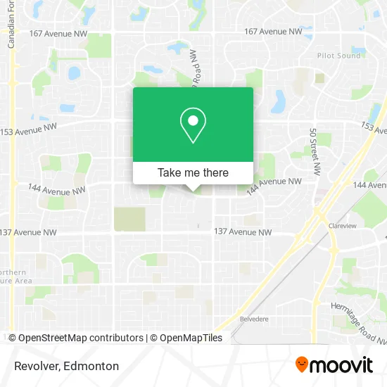
See Revolver, Edmonton, on the map
Public Transit to Revolver in Edmonton
Wondering how to get to Revolver in Edmonton? Moovit helps you find the best way to get to Revolver with step-by-step directions from the nearest public transit station.
Moovit provides free maps and live directions to help you navigate through your city. View schedules, routes, timetables, and find out how long does it take to get to Revolver in real time.
Looking for the nearest stop or station to Revolver? Check out this list of stops closest to your destination: 69 Street & 144 Avenue; 66 Street & 144 Avenue; Belvedere Station.
Bus: 113, 114, 128, 107, 626, 620, 621.
Want to see if there’s another route that gets you there at an earlier time? Moovit helps you find alternative routes or times. Get directions from and directions to Revolver easily from the Moovit App or Website.
We make riding to Revolver easy, which is why over 1.5 million users, including users in Edmonton, trust Moovit as the best app for public transit. You don’t need to download an individual bus app or train app, Moovit is your all-in-one transit app that helps you find the best bus time or train time available.
For information on prices of bus and light rail, costs and ride fares to Revolver, please check the Moovit app.
Use the app to navigate to popular places including to the airport, hospital, stadium, grocery store, mall, coffee shop, school, college, and university.
Revolver Address: 144 Ave NW Edmonton, AB T5C 3C8 street in Edmonton
- Alali Concrete Base Cotracting,
- M. E. LaZerte High School,
- Overland Electric,
- M E Lazerte Senior High School,
- Londonderry School,
- Dynamite,
- Rain,
- M.E. LaZerte,
- Londonderry Library,
- Oomomo Japan Living,
- Vans,
- Call It Spring,
- General Store,
- Cryztal's Hats and More,
- Unity Centre of North East Edmonton,
- Londonderry Mall,
- Food Court,
- Instacoin Bitcoin ATM - Sunshine Food Store,
- Lo Edward K Professional,
- Town Kids Daycare & Osc
Places Near Revolver (Edmonton)
- Royal Alexandra Hospital, Edmonton,
- West Edmonton Mall, Edmonton,
- University of Alberta, Edmonton,
- Edmonton Valley Zoo, Edmonton,
- Cross Cancer Institute, Edmonton,
- Borden Park, Edmonton,
- Edmonton EXPO Centre, Edmonton,
- Whyte Avenue, Edmonton,
- Londonderry Mall, Edmonton,
- Canada Place Service Canada Centre, Edmonton,
- Grey Nuns Community Hospital, Edmonton,
- Edmonton VIA Rail Station, Edmonton,
- MacEwan University, Edmonton,
- Kingsway Mall, Edmonton,
- Edmonton Commonwealth Stadium, Edmonton,
- Northgate Centre, Edmonton,
- Kaye Edmonton Clinic, Edmonton,
- Fort Edmonton Park, Edmonton,
- Alberta Legislature Building, Edmonton,
- Rogers Place, Edmonton
How to get to popular places in Edmonton with public transit
Get around Edmonton by public transit!
Traveling around Edmonton has never been so easy. See step by step directions as you travel to any attraction, street or major public transit station. View bus and train schedules, arrival times, service alerts and detailed routes on a map, so you know exactly how to get to anywhere in Edmonton.
When traveling to any destination around Edmonton use Moovit's Live Directions with Get Off Notifications to know exactly where and how far to walk, how long to wait for your line, and how many stops are left. Moovit will alert you when it's time to get off — no need to constantly re-check whether yours is the next stop.
Wondering how to use public transit in Edmonton or how to pay for public transit in Edmonton? Moovit public transit app can help you navigate your way with public transit easily, and at minimum cost. It includes public transit fees, ticket prices, and costs. Looking for a map of Edmonton public transit lines? Moovit public transit app shows all public transit maps in Edmonton with all Bus and Light Rail routes and stops on an interactive map.
Edmonton has 2 transit type(s), including: Bus and Light Rail, operated by several transit agencies, including ETS LRT, ETS, Strathcona County Transit, St. Albert Transit, Spruce Grove Transit, Fort Saskatchewan Transit, Beaumont Transit and Leduc Transit