How to get to Rey de Gloria Virginia by bus?
Click on the bus route to see step by step directions with maps, line arrival times and updated time schedules.
From Lorton, VA, Fairfax County
157 minFrom Burke, VA, Fairfax County
114 minFrom Rose Gaming Resort, Prince William County
69 minFrom Lorton, VA - Amtrak Auto Train Station (LOR), Fairfax County
159 minFrom Manassas, VA, Manassas
104 minFrom National Geospatial-Intelligence Agency (NGA), Fairfax County
146 minFrom Department of State SA 34, Fairfax County
199 minFrom Woodbridge, VA, Prince William County
71 minFrom U.S. Department of State SA-28, Fairfax County
107 min
Bus stops near Rey de Gloria Virginia in Prince William County
Bus lines to Rey de Gloria Virginia in Prince William County
What are the closest stations to Rey de Gloria Virginia?
The closest stations to Rey de Gloria Virginia are:
- Cardinal Dr @ Swan Way is 162 yards away, 2 min walk.
- Waterway Dr @ Northgate Dr is 1979 yards away, 24 min walk.
Which bus lines stop near Rey de Gloria Virginia?
These bus lines stop near Rey de Gloria Virginia: 52, 91, 952.
What’s the nearest bus station to Rey de Gloria Virginia in Prince William County?
The nearest bus station to Rey de Gloria Virginia in Prince William County is Cardinal Dr @ Swan Way. It’s a 2 min walk away.
What time is the first bus to Rey de Gloria Virginia in Prince William County?
The 952 is the first bus that goes to Rey de Gloria Virginia in Prince William County. It stops nearby at 4:19 AM.
What time is the last bus to Rey de Gloria Virginia in Prince William County?
The 953 is the last bus that goes to Rey de Gloria Virginia in Prince William County. It stops nearby at 6:41 PM.
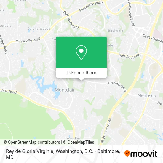
See Rey de Gloria Virginia, Prince William County, on the map
Public Transit to Rey de Gloria Virginia in Prince William County
Wondering how to get to Rey de Gloria Virginia in Prince William County? Moovit helps you find the best way to get to Rey de Gloria Virginia with step-by-step directions from the nearest public transit station.
Moovit provides free maps and live directions to help you navigate through your city. View schedules, routes, timetables, and find out how long does it take to get to Rey de Gloria Virginia in real time.
Looking for the nearest stop or station to Rey de Gloria Virginia? Check out this list of stops closest to your destination: Cardinal Dr @ Swan Way; Waterway Dr @ Northgate Dr.
Bus: 52, 91, 952, 953.
Want to see if there’s another route that gets you there at an earlier time? Moovit helps you find alternative routes or times. Get directions from and directions to Rey de Gloria Virginia easily from the Moovit App or Website.
We make riding to Rey de Gloria Virginia easy, which is why over 1.5 million users, including users in Prince William County, trust Moovit as the best app for public transit. You don’t need to download an individual bus app or train app, Moovit is your all-in-one transit app that helps you find the best bus time or train time available.
For information on prices of bus, costs and ride fares to Rey de Gloria Virginia, please check the Moovit app.
Use the app to navigate to popular places including to the airport, hospital, stadium, grocery store, mall, coffee shop, school, college, and university.
Rey de Gloria Virginia Address: 15418 Cardinal Dr Woodbridge, VA 22193 street in Prince William County
- Hajar's Spicy Suya,
- Wilderness Inner Spiritual Enterprise,
- Morning Sunshine,
- Fa Painting,
- Virtual Business Solutions,
- Rosenbaum Designs Sue,
- Hockersmith,
- Key Shop & Locksmith,
- Auto Accidents Chiropractors,
- Lularoe Laura Ryder,
- Discount Locksmith,
- Amen Life Services,
- Montclair, VA,
- Montclair VA USA,
- Montclair, Virginia,
- The Ondish Group,
- Manning Service,
- Montclair Country Club,
- Crossroads Presbyterian Church,
- Servicios Múltiples y Compras en Líneas USA - El Salvador
Places Near Rey de Gloria Virginia (Prince William County)
- Washington National Cathedral, Washington,
- Rock Creek Tennis Center, Washington,
- The Anthem, Washington,
- Basilica of the National Shrine, Washington,
- Sibley Memorial Hospital, Washington,
- M&T Bank Stadium, Baltimore,
- National Museum of African American History and Culture, Washington,
- Georgetown, Washington,
- National Mall, Washington,
- Westfield Montgomery Mall, Montgomery County,
- Camden Yards, Baltimore,
- Pennsylvania Ave NW (3rd st and pennsylvania), Washington,
- Washington DC VA Medical Center, Washington,
- Amazon Hq2, Arlington County,
- Capital One Arena, Washington,
- National Zoo, Washington,
- PG Mall, Prince George's County,
- Marriott Marquis Washington, DC, Washington,
- Warner Theatre, Washington,
- Museum Of The Bible, Washington
How to get to popular places in Washington, D.C. - Baltimore, MD with public transit
Get around Prince William County by public transit!
Traveling around Prince William County has never been so easy. See step by step directions as you travel to any attraction, street or major public transit station. View bus and train schedules, arrival times, service alerts and detailed routes on a map, so you know exactly how to get to anywhere in Prince William County.
When traveling to any destination around Prince William County use Moovit's Live Directions with Get Off Notifications to know exactly where and how far to walk, how long to wait for your line, and how many stops are left. Moovit will alert you when it's time to get off — no need to constantly re-check whether yours is the next stop.
Wondering how to use public transit in Prince William County or how to pay for public transit in Prince William County? Moovit public transit app can help you navigate your way with public transit easily, and at minimum cost. It includes public transit fees, ticket prices, and costs. Looking for a map of Prince William County public transit lines? Moovit public transit app shows all public transit maps in Prince William County with all Bus, Train, Metro, Light Rail and Ferry routes and stops on an interactive map.
Washington, D.C. - Baltimore, MD has 5 transit type(s), including: Bus, Train, Metro, Light Rail and Ferry, operated by several transit agencies, including WMATA, Montgomery County Ride On, Fairfax Connector, TheBus, PRTC, DASH - Alexandria, Arlington Transit (ART), RTA of Central Maryland, MDOT MTA, MDOT MTA Light RailLink, MDOT MTA Commuter Bus, MDOT MTA Local Bus, FXBGO!, Virginia Railway Express (VRE) and MARC