How to get to Rfc by bus?
Click on the bus route to see step by step directions with maps, line arrival times and updated time schedules.
From Hôpital Delafontaine, Saint-Denis
73 minFrom Colombes, Colombes
100 minFrom EDF Cap Ampère, Saint-Denis
72 minFrom Studios du Lendit, Saint-Denis
99 minFrom IKEA, Franconville
85 minFrom 2-4-6 Rue du Fort de l'Est, Saint-Denis
86 minFrom Gonesse, Gonesse
109 minFrom Saint-Denis-Université, Saint-Denis
59 minFrom Hopital De Gonesse, Gonesse
107 minFrom Clinique de l'estrée, Stains
71 min
Bus stops near Rfc in Montmorency
Bus lines to Rfc in Montmorency
What are the closest stations to Rfc?
The closest stations to Rfc are:
- La Chênée is 197 meters away, 3 min walk.
- Le Colombier is 1028 meters away, 14 min walk.
- Château Gaillard is 1255 meters away, 16 min walk.
- Parc Des Sources is 1399 meters away, 18 min walk.
Which bus lines stop near Rfc?
These bus lines stop near Rfc: 1511, 1515.
What’s the nearest bus station to Rfc in Montmorency?
The nearest bus station to Rfc in Montmorency is La Chênée. It’s a 3 min walk away.
What time is the first bus to Rfc in Montmorency?
The 1515 is the first bus that goes to Rfc in Montmorency. It stops nearby at 6:00 AM.
What time is the last bus to Rfc in Montmorency?
The 1515 is the last bus that goes to Rfc in Montmorency. It stops nearby at 1:05 AM.
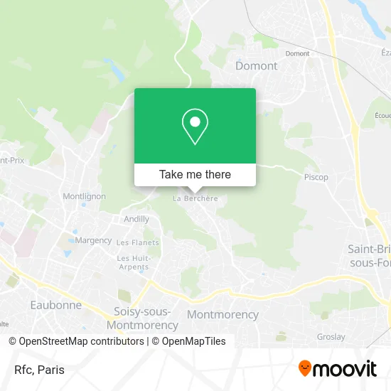
See Rfc, Montmorency, on the map
Public Transit to Rfc in Montmorency
Wondering how to get to Rfc in Montmorency? Moovit helps you find the best way to get to Rfc with step-by-step directions from the nearest public transit station.
Moovit provides free maps and live directions to help you navigate through your city. View schedules, routes, timetables, and find out how long does it take to get to Rfc in real time.
Looking for the nearest stop or station to Rfc? Check out this list of stops closest to your destination: La Chênée; Le Colombier; Château Gaillard; Parc Des Sources.
Bus: 1511, 1515, 1512, 1513, 1510, 1533.
Want to see if there’s another route that gets you there at an earlier time? Moovit helps you find alternative routes or times. Get directions from and directions to Rfc easily from the Moovit App or Website.
We make riding to Rfc easy, which is why over 1.5 million users, including users in Montmorency, trust Moovit as the best app for public transit. You don’t need to download an individual bus app or train app, Moovit is your all-in-one transit app that helps you find the best bus time or train time available.
For information on prices of bus, train, light rail and RER, costs and ride fares to Rfc, please check the Moovit app.
Use the app to navigate to popular places including to the airport, hospital, stadium, grocery store, mall, coffee shop, school, college, and university.
Rfc Address: 106 Avenue de Domont 95160 Montmorency street in Montmorency
- Kebab Food,
- Amazon Locker-Esmé,
- Intermarché SUPER Montmorency,
- 112 D124,
- Automatismes Diffusion,
- 5 Rue Beaumarchais,
- Komm a Babi,
- La Chenee,
- Allée de la Chênée,
- 15 Rue Pascal,
- Rue Racine,
- Les Peupliers,
- Au Palais du Bonheur,
- Traiteur Agnès,
- 71 Avenue de Domont,
- La Ferme Fonda,
- Au Pain Gourmand,
- Kisanaa Alimentation Générale,
- Salle Jean XXIII,
- 10 Avenue de Domont
Places Near Rfc (Montmorency)
- Marché Saint-Pierre, Paris,
- Hopital Foch, Suresnes,
- Atelier Des Lumieres, Paris,
- Hôpital de la Pitié-Salpêtrière, Paris,
- Hôpital Beaujon, Clichy,
- Créteil Soleil, Creteil,
- Galeries Lafayette, Paris,
- Théâtre Mogador, Paris,
- Hôpital Necker, Paris,
- Gare Routière Flixbus, Paris,
- Hôpital Saint-Joseph, Paris,
- Hôpital Cochin, Paris,
- Galeries Lafayette Haussmann, Paris,
- Beaugrenelle, Paris,
- Fondation Louis Vuitton, Paris,
- Hopital Lariboisière, Paris,
- Hôpital Pitié Salpêtrière, Paris,
- Hôpital Henri Mondor, Creteil,
- Centre Hospitalier des 15/20, Paris,
- 29 Rue Manin, Paris
How to get to popular places in Paris with public transit
Get around Montmorency by public transit!
Traveling around Montmorency has never been so easy. See step by step directions as you travel to any attraction, street or major public transit station. View bus and train schedules, arrival times, service alerts and detailed routes on a map, so you know exactly how to get to anywhere in Montmorency.
When traveling to any destination around Montmorency use Moovit's Live Directions with Get Off Notifications to know exactly where and how far to walk, how long to wait for your line, and how many stops are left. Moovit will alert you when it's time to get off — no need to constantly re-check whether yours is the next stop.
Wondering how to use public transit in Montmorency or how to pay for public transit in Montmorency? Moovit public transit app can help you navigate your way with public transit easily, and at minimum cost. It includes public transit fees, ticket prices, and costs. Looking for a map of Montmorency public transit lines? Moovit public transit app shows all public transit maps in Montmorency with all Bus, Train, Metro, Light Rail, RER, Funicular and Gondola routes and stops on an interactive map.
Paris has 7 transit type(s), including: Bus, Train, Metro, Light Rail, RER, Funicular and Gondola, operated by several transit agencies, including RATP, RER, RER Bus de remplacement, Train, Train Bus de remplacement, Tramway Bus de remplacement, TER, ADP, Magical Shuttle, Argenteuil - Boucles de Seine, Autocars Dominique, Bièvre, Brie et 2 Morin, Le Bus - C.C. du Clermontois and Cœur d’Essonne