How to get to Rice Bros by bus?
Click on the bus route to see step by step directions with maps, line arrival times and updated time schedules.
From Rampart Casino, Las Vegas
42 minFrom Catholic Charities, Las Vegas
74 minFrom Downtown Container Park, Las Vegas
56 minFrom The Buffet at Bellagio, Paradise
57 minFrom The Smith Center, Las Vegas
53 minFrom Area15, Las Vegas
54 minFrom Palo Verde High School, Las Vegas
67 minFrom E Flamingo Rd / The Strip, Paradise
55 minFrom Ghirardelli Ice Cream, Paradise
64 minFrom Hilton Grand Vacations at the Flamingo Las Vegas, Paradise
58 min
Bus stops near Rice Bros in Las Vegas
Bus lines to Rice Bros in Las Vegas
What are the closest stations to Rice Bros?
The closest stations to Rice Bros are:
- Wb Vegas After Jones is 139 yards away, 2 min walk.
- Nb Jones After Lake Mead is 143 yards away, 2 min walk.
- Wb Lake Mead After Jones is 281 yards away, 4 min walk.
Which bus lines stop near Rice Bros?
These bus lines stop near Rice Bros: 102, 104, 210.
What’s the nearest bus station to Rice Bros in Las Vegas?
The nearest bus stations to Rice Bros in Las Vegas are Wb Vegas After Jones and Nb Jones After Lake Mead. The closest one is a 2 min walk away.
What time is the first bus to Rice Bros in Las Vegas?
The 210 is the first bus that goes to Rice Bros in Las Vegas. It stops nearby at 3:32 AM.
What time is the last bus to Rice Bros in Las Vegas?
The 210 is the last bus that goes to Rice Bros in Las Vegas. It stops nearby at 2:47 AM.
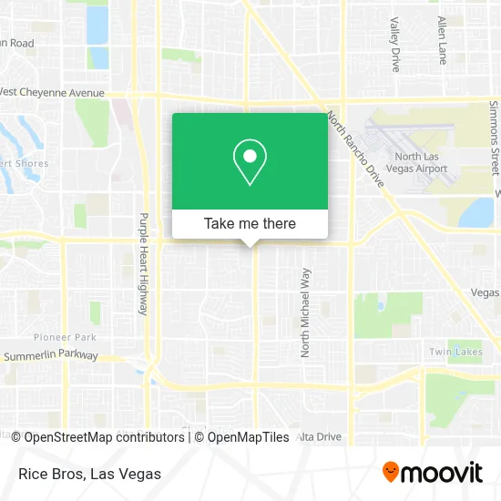
See Rice Bros, Las Vegas, on the map
Public Transit to Rice Bros in Las Vegas
Wondering how to get to Rice Bros in Las Vegas? Moovit helps you find the best way to get to Rice Bros with step-by-step directions from the nearest public transit station.
Moovit provides free maps and live directions to help you navigate through your city. View schedules, routes, timetables, and find out how long does it take to get to Rice Bros in real time.
Looking for the nearest stop or station to Rice Bros? Check out this list of stops closest to your destination: Wb Vegas After Jones; Nb Jones After Lake Mead; Wb Lake Mead After Jones.
Bus: 102, 104, 210, 209.
Want to see if there’s another route that gets you there at an earlier time? Moovit helps you find alternative routes or times. Get directions from and directions to Rice Bros easily from the Moovit App or Website.
We make riding to Rice Bros easy, which is why over 1.7 million users, including users in Las Vegas, trust Moovit as the best app for public transit. You don’t need to download an individual bus app or train app, Moovit is your all-in-one transit app that helps you find the best bus time or train time available.
For information on prices of bus, costs and ride fares to Rice Bros, please check the Moovit app.
Use the app to navigate to popular places including to the airport, hospital, stadium, grocery store, mall, coffee shop, school, college, and university.
Rice Bros Address: 6121 W Lake Mead Blvd street in Las Vegas
- Tropical Breeze Samoan Ward,
- T-Mobile,
- Nikki's Treasure Hunt,
- The UPS Store,
- Donna Eubank Hennen,
- Jones @ Smoke Ranch (N),
- CIRCLE K,
- Geek Squad,
- Nationwide Garage Door Experts,
- Dsw,
- Las Vegas Rainbow,
- Keyme,
- Amazon Locker - Troakes,
- Burlington,
- Five Below,
- Reiki Para El Despertar,
- Jet Foundation,
- Nathan Adelson Hospice Tenaya IPU,
- Tony Roma's Ribs, Seafood, & Steaks,
- Tony Roma's
Places Near Rice Bros (Las Vegas)
- Zak Bagans Haunted Museum, Las Vegas,
- Las Vegas South Premium Outlets, Enterprise,
- Meow Wolf - Las Vegas (Meow Wolf's Omega Mart), Las Vegas,
- Welcome To Fabulous Las Vegas Sign, Paradise,
- The Deuce Bus Stop at Fremont St, Las Vegas,
- Walmart Supercenter, Las Vegas,
- Koolsville Tattoos, Las Vegas,
- Las Vegas Premium Outlets-North, Enterprise,
- Gold & Silver Pawn Shop, Las Vegas,
- Arte Museum Las Vegas, Paradise,
- Omega Mart, Las Vegas,
- Area15, Las Vegas,
- Allegiant Stadium, Paradise,
- Lee Canyon, Las Vegas,
- The Neon Museum, Las Vegas,
- The Palms Casino Resort, Paradise,
- Las Vegas North Premium Outlets, Las Vegas,
- Trump International Hotel Las Vegas, Paradise,
- Walmart, Las Vegas,
- Town Square, Enterprise
How to get to popular places in Las Vegas with public transit
Get around Las Vegas by public transit!
Traveling around Las Vegas has never been so easy. See step by step directions as you travel to any attraction, street or major public transit station. View bus and train schedules, arrival times, service alerts and detailed routes on a map, so you know exactly how to get to anywhere in Las Vegas.
When traveling to any destination around Las Vegas use Moovit's Live Directions with Get Off Notifications to know exactly where and how far to walk, how long to wait for your line, and how many stops are left. Moovit will alert you when it's time to get off — no need to constantly re-check whether yours is the next stop.
Wondering how to use public transit in Las Vegas or how to pay for public transit in Las Vegas? Moovit public transit app can help you navigate your way with public transit easily, and at minimum cost. It includes public transit fees, ticket prices, and costs. Looking for a map of Las Vegas public transit lines? Moovit public transit app shows all public transit maps in Las Vegas with all Bus and Monorail routes and stops on an interactive map.
Las Vegas has 2 transit type(s), including: Bus and Monorail, operated by several transit agencies, including RTCSNV, City of Las Vegas, Alvand Transportation, Vegas Airporter, Las Vegas Monorail, FlixBus-us and Greyhound-us