How to get to Ridgewood Locksmith by bus?
Click on the bus route to see step by step directions with maps, line arrival times and updated time schedules.
From W 13th St (6th avenue and 13th street), Manhattan
104 minFrom 23rd St & 1st Ave, Manhattan
91 minFrom The Beekman, Manhattan
89 minFrom Angelika Film Center, Manhattan
80 minFrom Queens Hospital Center, Queens
62 minFrom kleinfeld bridal, Manhattan
102 minFrom MTA Subway - 42nd St/Bryant Park (B/D/F/M/7), Manhattan
88 minFrom Museum of Modern Art, Manhattan
73 minFrom 59th & Lexington, Manhattan
71 minFrom Hotel Indigo, Manhattan
69 min
How to get to Ridgewood Locksmith by train?
Click on the train route to see step by step directions with maps, line arrival times and updated time schedules.
How to get to Ridgewood Locksmith by subway?
Click on the subway route to see step by step directions with maps, line arrival times and updated time schedules.
From W 13th St (6th avenue and 13th street), Manhattan
48 minFrom 23rd St & 1st Ave, Manhattan
49 minFrom The Beekman, Manhattan
49 minFrom Angelika Film Center, Manhattan
47 minFrom Queens Hospital Center, Queens
91 minFrom kleinfeld bridal, Manhattan
51 minFrom MTA Subway - 42nd St/Bryant Park (B/D/F/M/7), Manhattan
52 minFrom Museum of Modern Art, Manhattan
63 minFrom 59th & Lexington, Manhattan
69 minFrom Hotel Indigo, Manhattan
44 min
Bus stops near Ridgewood Locksmith in Queens
Subway stations near Ridgewood Locksmith in Queens
Bus lines to Ridgewood Locksmith in Queens
What are the closest stations to Ridgewood Locksmith?
The closest stations to Ridgewood Locksmith are:
- Myrtle Av/Cypress Hills St is 213 yards away, 3 min walk.
- Cooper Av/Cypress Hill St is 369 yards away, 5 min walk.
- Fresh Pond Rd is 842 yards away, 11 min walk.
- Halsey St is 1673 yards away, 20 min walk.
Which bus lines stop near Ridgewood Locksmith?
These bus lines stop near Ridgewood Locksmith: B13, Q39, Q54, Q55.
Which train line stops near Ridgewood Locksmith?
CITY TERMINAL ZONE (Atlantic Terminal)
Which subway line stops near Ridgewood Locksmith?
M (Middle Village-Metropolitan Av)
What’s the nearest subway station to Ridgewood Locksmith in Queens?
The nearest subway station to Ridgewood Locksmith in Queens is Fresh Pond Rd. It’s a 11 min walk away.
What’s the nearest bus station to Ridgewood Locksmith in Queens?
The nearest bus station to Ridgewood Locksmith in Queens is Myrtle Av/Cypress Hills St. It’s a 3 min walk away.
What time is the first subway to Ridgewood Locksmith in Queens?
The M is the first subway that goes to Ridgewood Locksmith in Queens. It stops nearby at 3:04 AM.
What time is the last subway to Ridgewood Locksmith in Queens?
The M is the last subway that goes to Ridgewood Locksmith in Queens. It stops nearby at 2:55 AM.
What time is the first bus to Ridgewood Locksmith in Queens?
The Q55 is the first bus that goes to Ridgewood Locksmith in Queens. It stops nearby at 3:32 AM.
What time is the last bus to Ridgewood Locksmith in Queens?
The Q55 is the last bus that goes to Ridgewood Locksmith in Queens. It stops nearby at 2:55 AM.
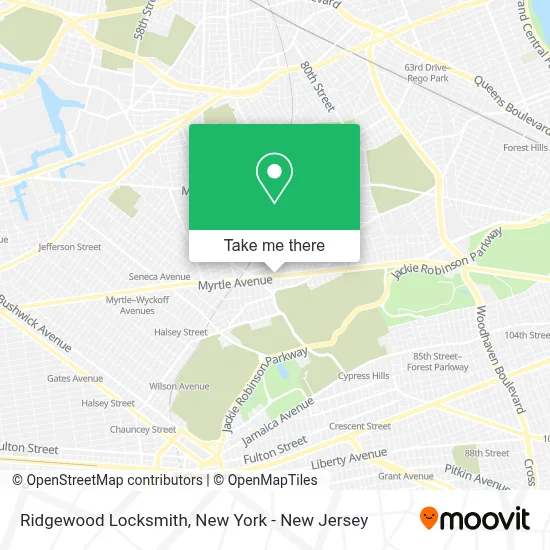
See Ridgewood Locksmith, Queens, on the map
Public Transit to Ridgewood Locksmith in Queens
Wondering how to get to Ridgewood Locksmith in Queens? Moovit helps you find the best way to get to Ridgewood Locksmith with step-by-step directions from the nearest public transit station.
Moovit provides free maps and live directions to help you navigate through your city. View schedules, routes, timetables, and find out how long does it take to get to Ridgewood Locksmith in real time.
Looking for the nearest stop or station to Ridgewood Locksmith? Check out this list of stops closest to your destination: Myrtle Av/Cypress Hills St; Cooper Av/Cypress Hill St; Fresh Pond Rd; Halsey St.
Bus: B13, Q39, Q54, Q55, QM24, QM25, QM34.Train: CITY TERMINAL ZONE.Subway: M, L.
Want to see if there’s another route that gets you there at an earlier time? Moovit helps you find alternative routes or times. Get directions from and directions to Ridgewood Locksmith easily from the Moovit App or Website.
We make riding to Ridgewood Locksmith easy, which is why over 1.5 million users, including users in Queens, trust Moovit as the best app for public transit. You don’t need to download an individual bus app or train app, Moovit is your all-in-one transit app that helps you find the best bus time or train time available.
For information on prices of bus, subway and train, costs and ride fares to Ridgewood Locksmith, please check the Moovit app.
Use the app to navigate to popular places including to the airport, hospital, stadium, grocery store, mall, coffee shop, school, college, and university.
Ridgewood Locksmith Address: 6613 Myrtle Ave street in Queens
- Icanfixit,
- 8th Wonder Printing,
- Ms Sophia Farmer Corp (Tienda Ecuatoriana),
- Ups Access Point Location,
- New Century,
- Igor Aronov: Allstate Insurance,
- Tulum Cafeteria,
- Stasher Luggage Storage,
- Ensar Oud,
- Driftytips Inc ( Document Preparation ),
- Glam Body Sugaring Boutique,
- Hou Man Do Martial Arts Academy,
- Brooklyn Bridge Corp.,
- Cut and Thread Beauty Salon,
- Ok International Business,
- Verbal Company,
- Schwille-D'Angelo Funeral Home,
- Esmeralda Pharmacy,
- Terra Realty Group,
- Sparkling Nail
Places Near Ridgewood Locksmith (Queens)
- Wall Street, Manhattan,
- SoHo, Manhattan,
- 376 Hudson Street, Manhattan,
- Queens Center Mall, Queens,
- Times Square, Manhattan,
- 66 John Street, Manhattan,
- Hudson Yards, Manhattan,
- 911 Memorial, Manhattan,
- Bellevue Hospital, Manhattan,
- 111 Centre New York City Supreme Court, Manhattan,
- Rockefeller Center, Manhattan,
- Chinatown, Manhattan,
- 1 Police Plaza, Manhattan,
- San Gennaro Feast, Manhattan,
- Katz's Deli, Manhattan,
- 3 Stone St, Manhattan,
- Pier 83, Manhattan,
- 26 Federal Plaza, Manhattan,
- Mountainside Hospital, Glen Ridge,
- qqqq, Manhattan
How to get to popular places in New York - New Jersey with public transit
Get around Queens by public transit!
Traveling around Queens has never been so easy. See step by step directions as you travel to any attraction, street or major public transit station. View bus and train schedules, arrival times, service alerts and detailed routes on a map, so you know exactly how to get to anywhere in Queens.
When traveling to any destination around Queens use Moovit's Live Directions with Get Off Notifications to know exactly where and how far to walk, how long to wait for your line, and how many stops are left. Moovit will alert you when it's time to get off — no need to constantly re-check whether yours is the next stop.
Wondering how to use public transit in Queens or how to pay for public transit in Queens? Moovit public transit app can help you navigate your way with public transit easily, and at minimum cost. It includes public transit fees, ticket prices, and costs. Looking for a map of Queens public transit lines? Moovit public transit app shows all public transit maps in Queens with all Bus, Train, Subway, Light Rail, Ferry and Cable Car routes and stops on an interactive map.
New York - New Jersey has 6 transit type(s), including: Bus, Train, Subway, Light Rail, Ferry and Cable Car, operated by several transit agencies, including MTA Subway, Metro-North Railroad, LIRR, PATH, MTA New York City Transit - Express routes, MTA Bus, NJ Transit, NYC Ferry, NICE bus, Bee-Line Bus, NJ Transit Rail, Norwalk Transit District, Hartford Line, River Valley Transit and HART