How to get to Rieker by bus?
Click on the bus route to see step by step directions with maps, line arrival times and updated time schedules.
From University of Alberta Hospital - Emergency, Edmonton
47 minFrom Strathearn Place, Edmonton
74 minFrom McNally School, Edmonton
57 minFrom Catholic Social Service, Edmonton
84 minFrom Sister Annata Brockman Elementary & Junior High, Edmonton
69 minFrom The Rusty Nail Pub, Edmonton
78 minFrom Saville Community Sports Centre, Edmonton
40 minFrom Mcnally High School, Edmonton
56 minFrom Norquest College, Edmonton
46 minFrom Delta Hotels by Marriott Edmonton Centre Suites, Edmonton
44 min
Bus stops near Rieker in Edmonton
Bus lines to Rieker in Edmonton
- 908, Jasper Place - Westmount,VIEW
- 912, Lewis Farms - Jasper Place,VIEW
- 914, West Edmonton Mall - Jasper Place,VIEW
- 921, Jasper Place - Westview Village,VIEW
- 925, Jasper Place Transit Centre,VIEW
- 671, 163 Street & 91 Avenue,VIEW
- 924, 149 Street & 76 Avenue,VIEW
- 052, Northgate Transit Centre,VIEW
- 915, Jasper Place Transit Centre,VIEW
What are the closest stations to Rieker?
The closest stations to Rieker are:
- 167 Street & Stony Plain Road is 92 meters away, 2 min walk.
- 166 Street & Stony Plain Road is 195 meters away, 4 min walk.
- 168 Street & 100 Avenue is 227 meters away, 4 min walk.
- 165 Street & Stony Plain Road is 245 meters away, 4 min walk.
- 163 Street & 100 Avenue is 598 meters away, 9 min walk.
Which bus lines stop near Rieker?
These bus lines stop near Rieker: 007, 052, 914, 915, 921.
What’s the nearest bus station to Rieker in Edmonton?
The nearest bus station to Rieker in Edmonton is 167 Street & Stony Plain Road. It’s a 2 min walk away.
What time is the first bus to Rieker in Edmonton?
The 915 is the first bus that goes to Rieker in Edmonton. It stops nearby at 6:29 AM.
What time is the last bus to Rieker in Edmonton?
The 915 is the last bus that goes to Rieker in Edmonton. It stops nearby at 12:30 AM.
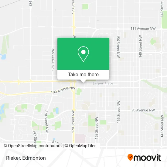
See Rieker, Edmonton, on the map
Public Transit to Rieker in Edmonton
Wondering how to get to Rieker in Edmonton? Moovit helps you find the best way to get to Rieker with step-by-step directions from the nearest public transit station.
Moovit provides free maps and live directions to help you navigate through your city. View schedules, routes, timetables, and find out how long does it take to get to Rieker in real time.
Looking for the nearest stop or station to Rieker? Check out this list of stops closest to your destination: 167 Street & Stony Plain Road; 166 Street & Stony Plain Road; 168 Street & 100 Avenue; 165 Street & Stony Plain Road; 163 Street & 100 Avenue.
Bus: 007, 052, 914, 915, 921, 908, 912, 925, 671, 924.
Want to see if there’s another route that gets you there at an earlier time? Moovit helps you find alternative routes or times. Get directions from and directions to Rieker easily from the Moovit App or Website.
We make riding to Rieker easy, which is why over 1.5 million users, including users in Edmonton, trust Moovit as the best app for public transit. You don’t need to download an individual bus app or train app, Moovit is your all-in-one transit app that helps you find the best bus time or train time available.
For information on prices of bus and light rail, costs and ride fares to Rieker, please check the Moovit app.
Use the app to navigate to popular places including to the airport, hospital, stadium, grocery store, mall, coffee shop, school, college, and university.
Rieker Address: 10046 167 St NW Edmonton, AB T5P 3W4 street in Edmonton
- Market Street,
- Box'd,
- PMCC 4th Watch Church Edmonton Locale,
- Anexco Properties,
- Continental Inn & Suites,
- Vagaro Carefree A,
- Hydro-Lite Hydroponics & Garden Supplies,
- Pothier Contracting,
- Massage Heights Mayfi,
- Westside Automotive VW / Audi Repair and Performance,
- Taco Time - Mayfield Common,
- Freedom Mobile,
- Savers,
- Live To Dye Salon,
- Mayfield Pharmacy,
- Affinity Dental - Mayfield Common,
- Hagan Appraisal Services LTD,
- Cabin To Castle Property Inspectors,
- Access Pharmacy,
- Wellness Dispensary
Places Near Rieker (Edmonton)
- MacEwan University, Edmonton,
- Edmonton EXPO Centre, Edmonton,
- Alberta Legislature Building, Edmonton,
- Rogers Place, Edmonton,
- Edmonton Valley Zoo, Edmonton,
- Edmonton VIA Rail Station, Edmonton,
- Borden Park, Edmonton,
- West Edmonton Mall, Edmonton,
- Fort Edmonton Park, Edmonton,
- Northgate Centre, Edmonton,
- Edmonton Commonwealth Stadium, Edmonton,
- Londonderry Mall, Edmonton,
- Canada Place Service Canada Centre, Edmonton,
- University of Alberta, Edmonton,
- Grey Nuns Community Hospital, Edmonton,
- Royal Alexandra Hospital, Edmonton,
- Whyte Avenue, Edmonton,
- Kaye Edmonton Clinic, Edmonton,
- Kingsway Mall, Edmonton,
- Cross Cancer Institute, Edmonton
How to get to popular places in Edmonton with public transit
Get around Edmonton by public transit!
Traveling around Edmonton has never been so easy. See step by step directions as you travel to any attraction, street or major public transit station. View bus and train schedules, arrival times, service alerts and detailed routes on a map, so you know exactly how to get to anywhere in Edmonton.
When traveling to any destination around Edmonton use Moovit's Live Directions with Get Off Notifications to know exactly where and how far to walk, how long to wait for your line, and how many stops are left. Moovit will alert you when it's time to get off — no need to constantly re-check whether yours is the next stop.
Wondering how to use public transit in Edmonton or how to pay for public transit in Edmonton? Moovit public transit app can help you navigate your way with public transit easily, and at minimum cost. It includes public transit fees, ticket prices, and costs. Looking for a map of Edmonton public transit lines? Moovit public transit app shows all public transit maps in Edmonton with all Bus and Light Rail routes and stops on an interactive map.
Edmonton has 2 transit type(s), including: Bus and Light Rail, operated by several transit agencies, including ETS LRT, ETS, Strathcona County Transit, St. Albert Transit, Spruce Grove Transit, Fort Saskatchewan Transit, Beaumont Transit and Leduc Transit