How to get to Martina Refuge by bus?
Click on the bus route to see step by step directions with maps, line arrival times and updated time schedules.
Bus stops near Martina Refuge in San Francesco Al Campo
- San Francesco Al Campo (Central District), 1 min walk,VIEW
Bus lines to Martina Refuge in San Francesco Al Campo
What are the closest stations to Martina Refuge?
The closest stations to Martina Refuge are:
- San Francesco Al Campo (Central District) is 48 meters away, 1 min walk.
Which bus lines stop near Martina Refuge?
These bus lines stop near Martina Refuge: 234, 329.
What’s the nearest bus station to Martina Refuge in San Francesco Al Campo?
The nearest bus station to Martina Refuge in San Francesco Al Campo is San Francesco Al Campo (Central District). It’s a 1 min walk away.
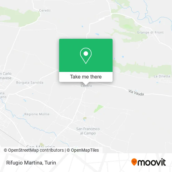
See Martina Refuge, San Francesco Al Campo, on the map
Public Transit to Martina Refuge in San Francesco Al Campo
Wondering how to get to Martina Refuge in San Francesco Al Campo? Moovit helps you find the best way to get to Martina Refuge with step-by-step directions from the nearest public transit station.
Moovit provides free maps and live directions to help you navigate through your city. View schedules, routes, timetables, and find out how long does it take to get to Martina Refuge in real time.
Looking for the nearest stop or station to Martina Refuge? Check out this list of stops closest to your destination: San Francesco Al Campo (Central District).
Bus: 234, 329, 92, 379, 165.
Want to see if there’s another route that gets you there at an earlier time? Moovit helps you find alternative routes or times. Get directions from and directions to Martina Refuge easily from the Moovit App or Website.
We make riding to Martina Refuge easy, which is why over 1.5 million users, including users in San Francesco Al Campo, trust Moovit as the best app for public transit. You don’t need to download an individual bus app or train app, Moovit is your all-in-one transit app that helps you find the best bus time or train time available.
For information on prices of bus and train, costs and ride fares to Martina Refuge, please check the Moovit app.
Use the app to navigate to popular places including to the airport, hospital, stadium, grocery store, mall, coffee shop, school, college, and university.
Martina Refuge Address: Via del Parco, 1 10070 San Francesco al Campo street in San Francesco Al Campo
- Delbecchi Mariangela,
- Kebab Pizza Sharm,
- Ticket Queen Concert Presale,
- Borgata Center,
- Bakery,
- Bakery and Food,
- Front Provincial Road,
- Cesario Anna,
- Tappartengo,
- Mollo Livio,
- Agrimacelleria Agricultural Company of Ferrando Battistà Giancarlo,
- Torino Street, 172/6,
- Shopping Center Le Borgate,
- Pic Nic at Tabata by Elena Defendini,
- Peraga Garden Center,
- Maniezzo Lucia,
- Di Carlo Maurizio,
- Universal Trading,
- Ca.Gi,
- M.T by Mangiacasale Tommaso Decorations and Floors
Places Near Martina Refuge (San Francesco Al Campo)
- San Giovanni Bosco Hospital, Torino,
- Prarostino Street 10/A, Torino,
- Castle Square, Torino,
- Porta Susa, Torino,
- CTO Hospital, Torino,
- Molinette Hospital, Torino,
- Regina Margherita Children's Hospital, Torino,
- Arturo Farinelli Street 25, Torino,
- Porta Palazzo, Torino,
- New Gate, Torino,
- Shopville Le Gru, Grugliasco,
- Koelliker Hospital, Torino,
- Martini Hospital, Torino,
- Le Gru, Grugliasco,
- Cavour Street 31, Torino,
- Pacchiotti Giacinto Street 4, Torino,
- CDC Via Grazioli 11, Torino,
- San Luigi Hospital, Orbassano,
- Mauriziano Hospital, Torino,
- Sant'Anna Hospital, Torino
How to get to popular places in Turin with public transit
Get around San Francesco Al Campo by public transit!
Traveling around San Francesco Al Campo has never been so easy. See step by step directions as you travel to any attraction, street or major public transit station. View bus and train schedules, arrival times, service alerts and detailed routes on a map, so you know exactly how to get to anywhere in San Francesco Al Campo.
When traveling to any destination around San Francesco Al Campo use Moovit's Live Directions with Get Off Notifications to know exactly where and how far to walk, how long to wait for your line, and how many stops are left. Moovit will alert you when it's time to get off — no need to constantly re-check whether yours is the next stop.
Wondering how to use public transit in San Francesco Al Campo or how to pay for public transit in San Francesco Al Campo? Moovit public transit app can help you navigate your way with public transit easily, and at minimum cost. It includes public transit fees, ticket prices, and costs. Looking for a map of San Francesco Al Campo public transit lines? Moovit public transit app shows all public transit maps in San Francesco Al Campo with all Bus, Train, Metro, Light Rail, Funicular and Gondola routes and stops on an interactive map.
Turin has 6 transit type(s), including: Bus, Train, Metro, Light Rail, Funicular and Gondola, operated by several transit agencies, including GTT Urban Service, GTT Suburban Service, GTT Tourist Services, Trenitalia, Arenaways, Sadem, Cavourese, Grandabus Consortium, Bus Company - GrandaBus, Bus Company, Gelosobus, Nuova S.a.a.r., SAC, Giors Bus Lines and Allasia Bus Lines