Riggin / Ferdinand stop - Thursday schedule
| Line | Direction | Time |
|---|---|---|
| 74 | Garvey / Atlantic | 5:11 AM |
| 74 | Garvey / Atlantic | 6:01 AM |
| 74 | Garvey / Atlantic | 6:36 AM |
| 74 | Garvey / Atlantic | 7:14 AM |
| 74 | Garvey / Atlantic | 7:54 AM |
| 74 | Garvey / Atlantic | 8:37 AM |
| 74 | Garvey / Atlantic | 9:17 AM |
| 74 | Garvey / Atlantic | 9:57 AM |
| 74 | Garvey / Atlantic | 10:38 AM |
| 74 | Garvey / Atlantic | 11:18 AM |
| 74 | Garvey / Atlantic | 11:58 AM |
| 74 | Garvey / Atlantic | 12:38 PM |
| 74 | Garvey / Atlantic | 1:18 PM |
| 74 | Garvey / Atlantic | 1:57 PM |
| 74 | Garvey / Atlantic | 2:35 PM |
| 74 | Garvey / Atlantic | 3:13 PM |
| 74 | Garvey / Atlantic | 3:53 PM |
| 74 | Garvey / Atlantic | 4:33 PM |
| 74 | Garvey / Atlantic | 5:15 PM |
| 74 | Garvey / Atlantic | 5:57 PM |
| 74 | Garvey / Atlantic | 6:43 PM |
| 74 | Garvey / Atlantic | 7:45 PM |
| 74 | Garvey / Atlantic | 8:18 PM |
| 74 | Garvey / Atlantic | 8:53 PM |
| 74 | Garvey / Atlantic | 9:30 PM |
Directions to Riggin / Ferdinand stop (Monterey Park) with public transit
The following transit lines have routes that pass near Riggin / Ferdinand
 Bus: 30, 74, ROUTE 2.
- Subway: E LINE.
- Train: RIV LINE.
How to get to Riggin / Ferdinand stop by bus?
Click on the bus route to see step by step directions with maps, line arrival times and updated time schedules.
How to get to Riggin / Ferdinand stop by subway?
Click on the subway route to see step by step directions with maps, line arrival times and updated time schedules.
Bus stops near Riggin / Ferdinand stop in Monterey Park
- Riggin / Ferdinand, 1 min walk,
- W Riggin Street and Garfield Avenue S, 4 min walk,
- Garfield/Riggin, 5 min walk,
Subway stations near Riggin / Ferdinand station in Monterey Park
- Maravilla Station, 15 min walk,
Train stations near Riggin / Ferdinand station in Monterey Park
- Montebello/Commerce, 53 min walk,
Bus lines to Riggin / Ferdinand stop in Monterey Park
- 74, Garvey / Atlantic,
- ROUTE 2, Ramona and Newmark,
- 30, 30 Garfield Ave,
What are the closest stations to Riggin / Ferdinand?
The closest stations to Riggin / Ferdinand are:
- Riggin / Ferdinand stop is 51 yards away, 1 min walk.
- W Riggin Street and Garfield Avenue S stop is 294 yards away, 4 min walk.
- Garfield/Riggin stop is 367 yards away, 5 min walk.
- Maravilla Station is 1297 yards away, 15 min walk.
- Montebello/Commerce station is 4532 yards away, 53 min walk.
Which bus lines stop near Riggin / Ferdinand?
These bus lines stop near Riggin / Ferdinand: 30, 74.
Which subway line stops near Riggin / Ferdinand?
E LINE (Eastbound to East Los Angeles)
What’s the nearest subway station to Riggin / Ferdinand in Monterey Park?
The nearest subway station to Riggin / Ferdinand in Monterey Park is Maravilla Station. It’s a 15 min walk away.
What’s the nearest bus station to Riggin / Ferdinand in Monterey Park?
The nearest bus station to Riggin / Ferdinand in Monterey Park is Riggin / Ferdinand. It’s a 1 min walk away.
What time is the first subway to Riggin / Ferdinand in Monterey Park?
The E LINE is the first subway that goes to Riggin / Ferdinand in Monterey Park. It stops nearby at 3:58 AM.
What time is the last subway to Riggin / Ferdinand in Monterey Park?
The E LINE is the last subway that goes to Riggin / Ferdinand in Monterey Park. It stops nearby at 1:03 AM.
What time is the first train to Riggin / Ferdinand in Monterey Park?
The RIV LINE is the first train that goes to Riggin / Ferdinand in Monterey Park. It stops nearby at 5:04 AM.
What time is the last train to Riggin / Ferdinand in Monterey Park?
The RIV LINE is the last train that goes to Riggin / Ferdinand in Monterey Park. It stops nearby at 6:55 PM.
What time is the first bus to Riggin / Ferdinand in Monterey Park?
The 30 is the first bus that goes to Riggin / Ferdinand in Monterey Park. It stops nearby at 4:36 AM.
What time is the last bus to Riggin / Ferdinand in Monterey Park?
The 74 is the last bus that goes to Riggin / Ferdinand in Monterey Park. It stops nearby at 10:11 PM.
Riggin / Ferdinand station
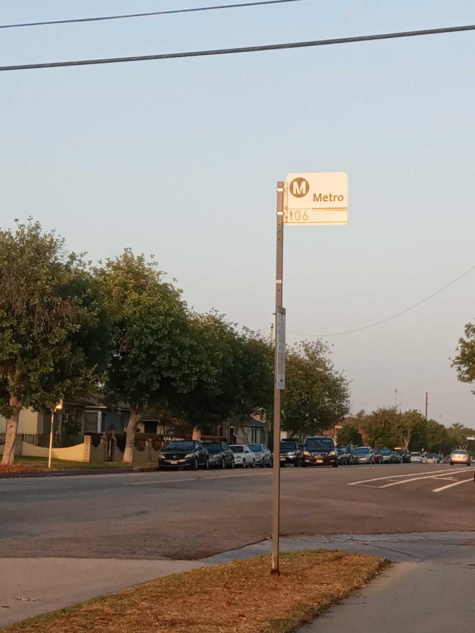 Taken by Anonymous
See Riggin / Ferdinand stop, Monterey Park, on the map
Public transit to Riggin / Ferdinand stop (ID: 16224) in Monterey Park
Looking for directions to Riggin / Ferdinand in Monterey Park, United States?
Download the Moovit App to find the current schedule and step-by-step directions for Bus or Subway routes that pass through Riggin / Ferdinand.
Looking for the nearest stops closest to Riggin / Ferdinand ? Check out this list of closest stops to your destination: Riggin / Ferdinand; W Riggin Street and Garfield Avenue S; Garfield/Riggin; Maravilla Station; Montebello/Commerce.
Bus: 30, 74, ROUTE 2.Subway: E LINE.Train: RIV LINE.
We make riding on public transit to Riggin / Ferdinand easy, which is why over 1.7 billion users, including users in Monterey Park trust Moovit as the best app for public transit.
Use the app to navigate to popular places including to the airport, hospital, stadium, grocery store, mall, coffee shop, school, college, and university.
Riggin / Ferdinand stop’s code is 16224
The first line to this stop is 74, at 5:11 AM, and the last line is 74 at 10:10 PM.
251 W Riggin St, Monterey Park, CA, USA
This stop serves Metro’s lines
- Riggin / Ferdinand,
- W Riggin Street and Garfield Avenue S,
- Garfield/Riggin
Bus stops near Riggin / Ferdinand stop
- Maravilla Station
Subway station near Riggin / Ferdinand station
- Montebello/Commerce
Train station near Riggin / Ferdinand station
- Manchester / Hoover,
- Woodman / Nordhoff,
- Olympic / Alvarado,
- Rosecrans / Downey,
- Brand / Chevy Chase,
- Soto / Bandini,
- Saticoy / Louise,
- Olympic / La Brea,
- Sherman Way / Balboa,
- Vineland / Oxnard,
- Broadway / Brand,
- Glendale / California,
- Azusa Downtown Station,
- Tampa / Nordhoff,
- 183rd Street and Studebaker Road- S/E Corner,
- Broadway / Martin Luther King Jr,
- Woodley / Parthenia,
- Ventura / Tampa,
- Santa Ana / Atlantic,
- Duarte / City of Hope
Popular public transit stations in Monterey Park
Get around Monterey Park by public transit!
Traveling around Monterey Park has never been so easy. See step by step directions as you travel to any attraction, street or major public transit station. View bus and train schedules, arrival times, service alerts and detailed routes on a map, so you know exactly how to get to anywhere in Monterey Park.
When traveling to any destination around Monterey Park use Moovit's Live Directions with Get Off Notifications to know exactly where and how far to walk, how long to wait for your line, and how many stops are left. Moovit will alert you when it's time to get off — no need to constantly re-check whether yours is the next stop.
Wondering how to use public transit in Monterey Park or how to pay for public transit in Monterey Park? Moovit public transit app can help you navigate your way with public transit easily, and at minimum cost. It includes public transit fees, ticket prices, and costs. Looking for a map of Monterey Park public transit lines? Moovit public transit app shows all public transit maps in Monterey Park with all Bus, Train, Subway, Ferry and Funicular routes and stops on an interactive map.
Los Angeles has 5 transit type(s), including: Bus, Train, Subway, Ferry and Funicular, operated by several transit agencies, including Metro, Metro Event Service, Alhambra Community Transit (ACT), Arcadia Transit, Artesia Transit, AVTA, Baldwin Park Transit, Beach Cities Transit, Beaumont Transit, Bell Gardens Town Trolley, Bellflower Bus, Big Blue Bus, Burbank Bus, Calabasas Trolley and Camarillo Area Transit