How to get to Rijs Cell by bus?
Click on the bus route to see step by step directions with maps, line arrival times and updated time schedules.
From Jl.Pamularsih,Semarang, Kota Semarang
56 minFrom Stasiun Poncol Semarang, Kota Semarang
68 minFrom Pelabuhan Merak Banten, Kota Semarang
85 minFrom Dr. Nathalia Gandha, Kota Semarang
55 minFrom Dokter Charles Wilson Lay, Demak
90 minFrom Khas Semarang Hotel, Kota Semarang
53 minFrom SMK Negeri 2 Semarang, Kota Semarang
59 minFrom Po Harapan Jaya, Semarang
34 minFrom Jogjakarta, Kota Semarang
62 minFrom Galeri Indosat Ungaran, Semarang
33 min
Bus stops near Rijs Cell in Kota Semarang
Bus lines to Rijs Cell in Kota Semarang
What are the closest stations to Rijs Cell?
The closest stations to Rijs Cell are:
- Gang Talang Bengkok is 213 meters away, 3 min walk.
- Jalan Raya Patemon is 247 meters away, 4 min walk.
- Garasi Unnes is 1500 meters away, 20 min walk.
Which bus lines stop near Rijs Cell?
These bus lines stop near Rijs Cell: F4A, R10C, R7B.
What’s the nearest bus station to Rijs Cell in Kota Semarang?
The nearest bus station to Rijs Cell in Kota Semarang is Gang Talang Bengkok. It’s a 3 min walk away.
What time is the first bus to Rijs Cell in Kota Semarang?
The 6 is the first bus that goes to Rijs Cell in Kota Semarang. It stops nearby at 5:34 AM.
What time is the last bus to Rijs Cell in Kota Semarang?
The R7B is the last bus that goes to Rijs Cell in Kota Semarang. It stops nearby at 6:23 PM.
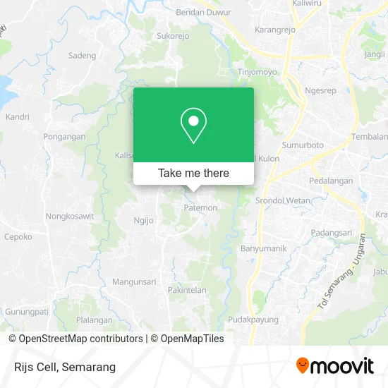
See Rijs Cell, Kota Semarang, on the map
Public Transit to Rijs Cell in Kota Semarang
Wondering how to get to Rijs Cell in Kota Semarang? Moovit helps you find the best way to get to Rijs Cell with step-by-step directions from the nearest public transit station.
Moovit provides free maps and live directions to help you navigate through your city. View schedules, routes, timetables, and find out how long does it take to get to Rijs Cell in real time.
Looking for the nearest stop or station to Rijs Cell? Check out this list of stops closest to your destination: Gang Talang Bengkok; Jalan Raya Patemon; Garasi Unnes.
Bus: F4A, R10C, R7B, 6.
Want to see if there’s another route that gets you there at an earlier time? Moovit helps you find alternative routes or times. Get directions from and directions to Rijs Cell easily from the Moovit App or Website.
We make riding to Rijs Cell easy, which is why over 1.5 million users, including users in Kota Semarang, trust Moovit as the best app for public transit. You don’t need to download an individual bus app or train app, Moovit is your all-in-one transit app that helps you find the best bus time or train time available.
For information on prices of bus, costs and ride fares to Rijs Cell, please check the Moovit app.
Use the app to navigate to popular places including to the airport, hospital, stadium, grocery store, mall, coffee shop, school, college, and university.
Rijs Cell Address: Jalan Raya Sekaran Semarang Kota 50228 street in Kota Semarang
- Toko Kelontong Iwan,
- Klinik Pratama Rawat Inap Graha Syifa,
- Graha Syifa Medical Clinic,
- Klinik 24 jam, Patemon, Unnes,
- Rumah Laundry,
- Burndes Burjo Gondes,
- Bp. Prapto Duren Smg,
- Warung Rembulan Durian Ketan,
- Sibambo Studio,
- Arus Balik Coffee Space,
- Patemon Unnes,
- Graha Syifa,
- Parreg Toko Iwan,
- Kantor Pemasaran Pranis,
- Bem Ft Unnes,
- Soto Lumayan Kudus Mbak Rum,
- Ngeprintingcom Sablon Kaos,
- Nasi Padang Mm Unnes,
- Bmi Berburu Mobil Impian,
- Somly Cellular
Places Near Rijs Cell (Kota Semarang)
- Terminal Sukun Semarang, Kota Semarang,
- Ungaran, Semarang,
- Gua Maria Kerep Ambarawa, Kota Semarang,
- Paragon Mall, Semarang, Kota Semarang,
- Taman Bunga, Kota Semarang,
- Pelabuhan Tanjung Emas, Kota Semarang,
- Cimory On The Valley, Kota Semarang,
- Rumah Sakit Kariadi, Kota Semarang,
- Kawasan Wisata Bandungan, Semarang,
- CV Gaharu, Kota Semarang,
- BRT Trans Semarang Koridor I, Demak,
- Halte Trans Semarang Bandara Ahmad Yani, Kota Semarang,
- Halte BRT Kota Lama, Kota Semarang,
- Kampus UNNES, Kota Semarang,
- Salatiga, Kota Semarang,
- Java Mall, Kota Semarang,
- The Park Mall, Kota Semarang,
- DP Mall XXI, Kota Semarang,
- Bandungan, Semarang,
- Terminal Penumpang Pelabuhan Tanjung Mas, Kota Semarang
How to get to popular places in Semarang with public transit
Get around Kota Semarang by public transit!
Traveling around Kota Semarang has never been so easy. See step by step directions as you travel to any attraction, street or major public transit station. View bus and train schedules, arrival times, service alerts and detailed routes on a map, so you know exactly how to get to anywhere in Kota Semarang.
When traveling to any destination around Kota Semarang use Moovit's Live Directions with Get Off Notifications to know exactly where and how far to walk, how long to wait for your line, and how many stops are left. Moovit will alert you when it's time to get off — no need to constantly re-check whether yours is the next stop.
Wondering how to use public transit in Kota Semarang or how to pay for public transit in Kota Semarang? Moovit public transit app can help you navigate your way with public transit easily, and at minimum cost. It includes public transit fees, ticket prices, and costs. Looking for a map of Kota Semarang public transit lines? Moovit public transit app shows all public transit maps in Kota Semarang with all Bus and Train routes and stops on an interactive map.
Semarang has 2 transit type(s), including: Bus and Train, operated by several transit agencies, including Trans Jateng, Trans Semarang, Angkutan Semarang and PT Kereta Api Indonesia