How to get to Riley E. Sexson, Np by bus?
Click on the bus route to see step by step directions with maps, line arrival times and updated time schedules.
From Aldi, Indianapolis City (Balance)
89 minFrom I-65 and Michigan, Indianapolis City (Balance)
42 minFrom Lafayette Road & 38th Street, Indianapolis
68 minFrom Metropolitan, Indianapolis City (Balance)
68 minFrom Dr Andrea Cmejla, Od, Indianapolis City (Balance)
94 minFrom Kittle's Furniture, Indianapolis City (Balance)
108 minFrom Topwot, Indianapolis City (Balance)
49 minFrom IndyGo Bus #17, Indianapolis City (Balance)
83 minFrom Butler University Jordan Hall, Indianapolis City (Balance)
35 minFrom Green House Ind Y, Indianapolis City (Balance)
41 min
Bus stop near Riley E. Sexson, Np in Indianapolis City (Balance)
- Harcourt Rd & John Ambers, 3 min walk,VIEW
Bus lines to Riley E. Sexson, Np in Indianapolis City (Balance)
What are the closest stations to Riley E. Sexson, Np?
The closest stations to Riley E. Sexson, Np are:
- Harcourt Rd & John Ambers is 215 yards away, 3 min walk.
Which bus lines stop near Riley E. Sexson, Np?
These bus lines stop near Riley E. Sexson, Np: 28, 34.
What’s the nearest bus station to Riley E. Sexson, Np in Indianapolis City (Balance)?
The nearest bus station to Riley E. Sexson, Np in Indianapolis City (Balance) is Harcourt Rd & John Ambers. It’s a 3 min walk away.
What time is the first bus to Riley E. Sexson, Np in Indianapolis City (Balance)?
The 34 is the first bus that goes to Riley E. Sexson, Np in Indianapolis City (Balance). It stops nearby at 4:36 AM.
What time is the last bus to Riley E. Sexson, Np in Indianapolis City (Balance)?
The 34 is the last bus that goes to Riley E. Sexson, Np in Indianapolis City (Balance). It stops nearby at 11:24 PM.
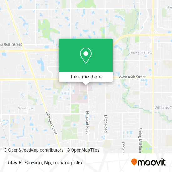
See Riley E. Sexson, Np, Indianapolis City (Balance), on the map
Public Transit to Riley E. Sexson, Np in Indianapolis City (Balance)
Wondering how to get to Riley E. Sexson, Np in Indianapolis City (Balance)? Moovit helps you find the best way to get to Riley E. Sexson, Np with step-by-step directions from the nearest public transit station.
Moovit provides free maps and live directions to help you navigate through your city. View schedules, routes, timetables, and find out how long does it take to get to Riley E. Sexson, Np in real time.
Looking for the nearest stop or station to Riley E. Sexson, Np? Check out this list of stops closest to your destination: Harcourt Rd & John Ambers.
Bus: 28, 34.
Want to see if there’s another route that gets you there at an earlier time? Moovit helps you find alternative routes or times. Get directions from and directions to Riley E. Sexson, Np easily from the Moovit App or Website.
We make riding to Riley E. Sexson, Np easy, which is why over 1.5 million users, including users in Indianapolis City (Balance), trust Moovit as the best app for public transit. You don’t need to download an individual bus app or train app, Moovit is your all-in-one transit app that helps you find the best bus time or train time available.
For information on prices of bus, costs and ride fares to Riley E. Sexson, Np, please check the Moovit app.
Use the app to navigate to popular places including to the airport, hospital, stadium, grocery store, mall, coffee shop, school, college, and university.
Riley E. Sexson, Np Address: 8402 Harcourt Rd Ste 731 street in Indianapolis City (Balance)
- Kevin C Bax,
- Naptown Foundation Repair,
- Goodman Campbell,
- Peyton Manning Children's Hospital at Ascension St. Vincent - Indianapolis Pediatric Neurology,
- Ascension St. Vincent Hospital Garage,
- Shrack Thomas D,
- Joint Replacement Surgeons of Indiana,
- Chuanpit Moser MD,
- Shivika Jain MD,
- Peyton Manning Children's Hosp,
- Cynthia K. McGarvey, MD,
- Andrew Jay Mandery MD,
- Robinson Jeffrey Lee Pa - Robinson, Jeffrey Lee Pa,
- Peyton Manning Children S Hospital at St. Vincent - Pediatric Gastroenterology,
- Joshua Steven Neucks, MD,
- Harcourt Road Internal Medicine,
- St. Vincent Outpatient Lab,
- Wilner Laura, MD,
- Peyton Manning Children's Hospital at St.Vincent,
- St. Vincent Hospital Associate Fitness Center
Places Near Riley E. Sexson, Np (Indianapolis City (Balance))
- Methodist Hospital of Indianapolis, Indianapolis City (Balance),
- Lilly Corporate Center (Eli Lilly & Co), Indianapolis City (Balance),
- St. Vincent Hospital - Indianapolis, Indianapolis City (Balance),
- Eskenazi Hospital, Indianapolis City (Balance),
- St. Vincent entrance #1, Indianapolis City (Balance),
- Indiana, Indianapolis City (Balance),
- THE BALT, Indianapolis City (Balance),
- Indianapolis Motor Speedway, Speedway,
- Plainfield, IN, Plainfield,
- Indianapolis Airport Zone 2, Indianapolis City (Balance),
- 119 W 19th St Parking, Indianapolis City (Balance),
- Castleton Square Mall, Indianapolis,
- Gainbridge Fieldhouse, Indianapolis City (Balance),
- Jersey Barn, Indianapolis City (Balance),
- Lucas Oil Stadium, Indianapolis City (Balance),
- I-465 / I-65 Interchange, Indianapolis City (Balance),
- Indiana Convention Center, Indianapolis City (Balance),
- Cotter's Massage Parlor With Happy Endings, Indianapolis City (Balance),
- I U Health Methodist Hospital, Indianapolis City (Balance),
- Train Ride At Castleton Mall, Indianapolis City (Balance)
How to get to popular places in Indianapolis with public transit
Get around Indianapolis City (Balance) by public transit!
Traveling around Indianapolis City (Balance) has never been so easy. See step by step directions as you travel to any attraction, street or major public transit station. View bus and train schedules, arrival times, service alerts and detailed routes on a map, so you know exactly how to get to anywhere in Indianapolis City (Balance).
When traveling to any destination around Indianapolis City (Balance) use Moovit's Live Directions with Get Off Notifications to know exactly where and how far to walk, how long to wait for your line, and how many stops are left. Moovit will alert you when it's time to get off — no need to constantly re-check whether yours is the next stop.
Wondering how to use public transit in Indianapolis City (Balance) or how to pay for public transit in Indianapolis City (Balance)? Moovit public transit app can help you navigate your way with public transit easily, and at minimum cost. It includes public transit fees, ticket prices, and costs. Looking for a map of Indianapolis City (Balance) public transit lines? Moovit public transit app shows all public transit maps in Indianapolis City (Balance) with all bus routes and stops on an interactive map.
Indianapolis has 1 transit type(s), including: bus, operated by several transit agencies, including IndyGo, FlixBus-us and Greyhound-us