How to get to Riley Shopping Center by bus?
Click on the bus route to see step by step directions with maps, line arrival times and updated time schedules.
From mercy hospital trolley stop, Miami
73 minFrom Bayfront Park Amphitheater, Miami
40 minFrom The Casino at Dania Beach, Miami
69 minFrom Publix (Publix Super Markets), Miami
42 minFrom Miami Airport Metrorail Central Station, Miami
54 minFrom Fortune House Hotel, Miami
49 minFrom Lejeune And Calle Ocho, Miami
72 minFrom Mercy Hospital, Miami
74 minFrom Bal Harbour, Miami Beach
62 minFrom Gate D60, Miami
62 min
Bus stops near Riley Shopping Center in Miami
Light Rail stations near Riley Shopping Center in Miami
- School Board, 26 min walk,VIEW
Train station near Riley Shopping Center in Miami
- Allapattah Station, 41 min walk,VIEW
Bus lines to Riley Shopping Center in Miami
What are the closest stations to Riley Shopping Center?
The closest stations to Riley Shopping Center are:
- Ne 2 Av & Ne 56 St is 43 yards away, 1 min walk.
- Ne 2 Av & Ne 57 St is 107 yards away, 2 min walk.
- Ne 54 St & Ne 2 Av is 347 yards away, 5 min walk.
- School Board is 2174 yards away, 26 min walk.
- Allapattah Station is 3426 yards away, 41 min walk.
Which bus lines stop near Riley Shopping Center?
These bus lines stop near Riley Shopping Center: 203, 54, 9.
What’s the nearest light rail station to Riley Shopping Center in Miami?
The nearest light rail station to Riley Shopping Center in Miami is School Board. It’s a 26 min walk away.
What’s the nearest bus station to Riley Shopping Center in Miami?
The nearest bus station to Riley Shopping Center in Miami is Ne 2 Av & Ne 56 St. It’s a 1 min walk away.
What time is the first light rail to Riley Shopping Center in Miami?
The MMO is the first light rail that goes to Riley Shopping Center in Miami. It stops nearby at 5:32 AM.
What time is the last light rail to Riley Shopping Center in Miami?
The MMO is the last light rail that goes to Riley Shopping Center in Miami. It stops nearby at 10:10 PM.
What time is the first train to Riley Shopping Center in Miami?
The ORANGE is the first train that goes to Riley Shopping Center in Miami. It stops nearby at 5:10 AM.
What time is the last train to Riley Shopping Center in Miami?
The GREEN is the last train that goes to Riley Shopping Center in Miami. It stops nearby at 12:34 AM.
What time is the first bus to Riley Shopping Center in Miami?
The 9 is the first bus that goes to Riley Shopping Center in Miami. It stops nearby at 4:24 AM.
What time is the last bus to Riley Shopping Center in Miami?
The 9 is the last bus that goes to Riley Shopping Center in Miami. It stops nearby at 1:07 AM.
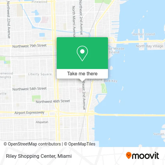
See Riley Shopping Center, Miami, on the map
Public Transit to Riley Shopping Center in Miami
Wondering how to get to Riley Shopping Center in Miami? Moovit helps you find the best way to get to Riley Shopping Center with step-by-step directions from the nearest public transit station.
Moovit provides free maps and live directions to help you navigate through your city. View schedules, routes, timetables, and find out how long does it take to get to Riley Shopping Center in real time.
Looking for the nearest stop or station to Riley Shopping Center? Check out this list of stops closest to your destination: Ne 2 Av & Ne 56 St; Ne 2 Av & Ne 57 St; Ne 54 St & Ne 2 Av; School Board; Allapattah Station.
Bus: 203, 54, 9, MIAHAIT.Train: GREEN, ORANGE.
Want to see if there’s another route that gets you there at an earlier time? Moovit helps you find alternative routes or times. Get directions from and directions to Riley Shopping Center easily from the Moovit App or Website.
We make riding to Riley Shopping Center easy, which is why over 1.5 million users, including users in Miami, trust Moovit as the best app for public transit. You don’t need to download an individual bus app or train app, Moovit is your all-in-one transit app that helps you find the best bus time or train time available.
For information on prices of bus and train, costs and ride fares to Riley Shopping Center, please check the Moovit app.
Use the app to navigate to popular places including to the airport, hospital, stadium, grocery store, mall, coffee shop, school, college, and university.
Riley Shopping Center Address: 5600 NE 2nd Ave Miami, FL 33137 street in Miami
- Emiliano la Taqueria,
- Fly Chef Garden Restaurant & Bar,
- Tousst Consulting Services,
- Bessard Roofing,
- Els Beauty Salon,
- 3x3 Santa Barbara Botanica,
- Kidco Creative Learning,
- Rara Lakay in Little Haiti,
- Churchill's Pub (Churchills Pub),
- Peniel Church of Nazarene,
- Clean Cottage,
- Gilson Interior,
- Snoop Plus Auto Repair,
- Where's My Car,
- German American Bank Itm,
- 221 NE 58th ter Parking,
- Chase,
- TMWFL- 0965fl,
- 1 Stop Wireless,
- Toys for the Poor Foundation Inc
Places Near Riley Shopping Center (Miami)
- Dolphin Mall Bus, Miami,
- Miami-Dade County Courthouse, Miami,
- Keiser University Flagship Campus, West Palm Beach,
- Brickell City Centre, Miami,
- Zoo Miami, Miami,
- Sawgrass mall ( FL ), Miami Beach,
- Aventura Mall, Miami Beach,
- Wynwood, Miami,
- Marlins Park, Miami,
- Hard Rock Stadium, Miami Gardens,
- 1351 NW 12th St, Miami,
- Dolphin Mall, Miami,
- Miami Freedom Park, Miami,
- Aventura Mall, Miami,
- Miami Design District, Miami,
- Bayside Marketplace, Miami,
- Little Havana, Miami,
- Sawgrass Mall, Miami,
- Port of Miami Cruise Terminal, Miami,
- Richard E. Gerstein Justice Building, Miami
How to get to popular places in Miami with public transit
Get around Miami by public transit!
Traveling around Miami has never been so easy. See step by step directions as you travel to any attraction, street or major public transit station. View bus and train schedules, arrival times, service alerts and detailed routes on a map, so you know exactly how to get to anywhere in Miami.
When traveling to any destination around Miami use Moovit's Live Directions with Get Off Notifications to know exactly where and how far to walk, how long to wait for your line, and how many stops are left. Moovit will alert you when it's time to get off — no need to constantly re-check whether yours is the next stop.
Wondering how to use public transit in Miami or how to pay for public transit in Miami? Moovit public transit app can help you navigate your way with public transit easily, and at minimum cost. It includes public transit fees, ticket prices, and costs. Looking for a map of Miami public transit lines? Moovit public transit app shows all public transit maps in Miami with all Bus, Train, Light Rail and Ferry routes and stops on an interactive map.
Miami has 4 transit type(s), including: Bus, Train, Light Rail and Ferry, operated by several transit agencies, including Broward County Transit, Miami-Dade Transit, Metrorail, Palm Tran, Tri-Rail, Brightline, MARTY, City of Homestead Trolley, Key West Transit, Treasure Coast Connector, GoLine IRT, Amtrak, Greyhound-us, FlixBus-us and Aventura Express Shuttle Bus