Rio Saliceto stop - Thursday schedule
| Line | Direction | Time |
|---|---|---|
| 43 | Fabbrico | 6:38 AM |
| 95 | Carpi Bus Station | 6:50 AM |
| 43 | Reggio Emilia - Bus Station | 7:45 AM |
| 43 | Rolo - Train Station | 8:03 AM |
| 43 | Correggio | 9:10 AM |
| 43 | Rolo - Train Station | 9:33 AM |
| 43 | Rolo - Train Station | 11:23 AM |
| 95 | Reggiolo | 12:25 PM |
| 43 | Correggio | 12:37 PM |
| 43 | Rolo - Train Station | 1:23 PM |
| 43 | Rolo - Train Station | 1:33 PM |
| 95 | Reggiolo | 1:45 PM |
| 43 | Reggio Emilia - Bus Station | 2:45 PM |
| 43 | Rolo - Train Station | 2:48 PM |
| 95 | Carpi Bus Station | 3:00 PM |
| 43 | Correggio | 5:45 PM |
| 43 | Rolo - Train Station | 6:23 PM |
| 95 | Novellara | 7:05 PM |
| 43 | Novellara | 7:18 PM |
Directions to Rio Saliceto stop (Pianura Reggiana) with public transit
The following transit lines have routes that pass near Rio Saliceto
 Bus: 43, 95.
How to get to Rio Saliceto stop by bus?
Click on the bus route to see step by step directions with maps, line arrival times and updated time schedules.
Bus stops near Rio Saliceto stop in Pianura Reggiana
- Rio Saliceto - Junction Via Vettignano, 9 min walk,
Bus lines to Rio Saliceto stop in Pianura Reggiana
- 43, Fabbrico,
- 95, Carpi Bus Station,
What are the closest stations to Rio Saliceto?
The closest stations to Rio Saliceto are:
- Rio Saliceto - Junction Via Vettignano stop is 668 meters away, 9 min walk.
Which bus line stops near Rio Saliceto?
43 (Rolo - Train Station→Reggio Emilia - Bus Station)
What’s the nearest bus station to Rio Saliceto in Pianura Reggiana?
The nearest bus station to Rio Saliceto in Pianura Reggiana is Rio Saliceto - Junction Via Vettignano. It’s a 9 min walk away.
What time is the first bus to Rio Saliceto in Pianura Reggiana?
The 43 is the first bus that goes to Rio Saliceto in Pianura Reggiana. It stops nearby at 1:51 PM.
What time is the last bus to Rio Saliceto in Pianura Reggiana?
The 43 is the last bus that goes to Rio Saliceto in Pianura Reggiana. It stops nearby at 7:38 PM.
Rio Saliceto station
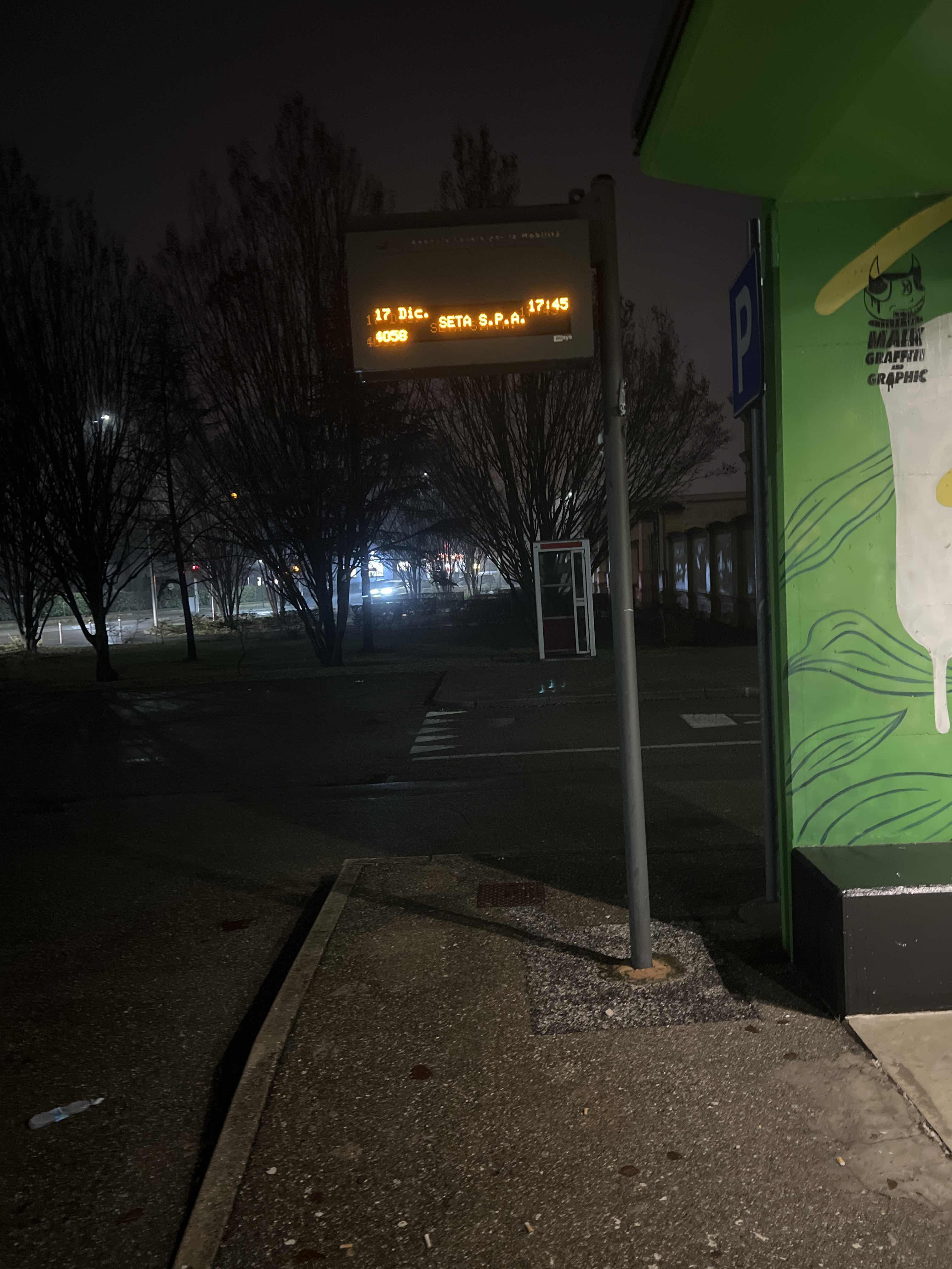 Taken by Anonymous
See Rio Saliceto stop, Pianura Reggiana, on the map
Public transit to Rio Saliceto stop in Pianura Reggiana
Looking for directions to Rio Saliceto in Pianura Reggiana, Italy?
Download the Moovit App to find the current schedule and step-by-step directions for Bus or Train routes that pass through Rio Saliceto.
Looking for the nearest stops closest to Rio Saliceto ? Check out this list of closest stops to your destination: Rio Saliceto - Junction Via Vettignano.
Bus: 43, 95.
We make riding on public transit to Rio Saliceto easy, which is why over 1.7 billion users, including users in Pianura Reggiana trust Moovit as the best app for public transit.
Use the app to navigate to popular places including to the airport, hospital, stadium, grocery store, mall, coffee shop, school, college, and university.
The first line to this stop is 43, at 6:38 AM, and the last line is 43 at 7:18 PM.
This stop serves SETA Reggio Emilia’s lines

Popular routes from Rio Saliceto stop, Pianura Reggiana
- Rio Saliceto - Junction Via Vettignano
Bus stop near Rio Saliceto stop
- Centergross Block 27,
- Santarcangelo Station,
- Pompilio Tiola Junction,
- San Venanzio,
- Interport Block 9.3,
- San Marino,
- Medicina Marconi,
- Borgo Punta,
- Mura San Carlo,
- Costrignano,
- Casale Road,
- Querciola Primarella,
- Villa Ranuzzi - Bellombra,
- Borgognino Mill,
- Crocefissi,
- Porta Saragozza - Villa Cassarini,
- 25 April,
- Ca' Di Bocchino,
- 38 Marano Bridge,
- Aldrovandi Square
Popular public transit stations in Pianura Reggiana
Get around Pianura Reggiana by public transit!
Traveling around Pianura Reggiana has never been so easy. See step by step directions as you travel to any attraction, street or major public transit station. View bus and train schedules, arrival times, service alerts and detailed routes on a map, so you know exactly how to get to anywhere in Pianura Reggiana.
When traveling to any destination around Pianura Reggiana use Moovit's Live Directions with Get Off Notifications to know exactly where and how far to walk, how long to wait for your line, and how many stops are left. Moovit will alert you when it's time to get off — no need to constantly re-check whether yours is the next stop.
Wondering how to use public transit in Pianura Reggiana or how to pay for public transit in Pianura Reggiana? Moovit public transit app can help you navigate your way with public transit easily, and at minimum cost. It includes public transit fees, ticket prices, and costs. Looking for a map of Pianura Reggiana public transit lines? Moovit public transit app shows all public transit maps in Pianura Reggiana with all Bus, Train, Ferry, Cable Car and Funicular routes and stops on an interactive map.
Bologne has 5 transit type(s), including: Bus, Train, Ferry, Cable Car and Funicular, operated by several transit agencies, including Marconi Express, TPER Bologna, Autoguidovie, TPER Ferrara, Metropolitan Railway Service, SETA Modena, SETA Piacenza, SETA Reggio Emilia, TEP, Start Rimini, Start Ravenna, Start Forlì-Cesena, Trenitalia-TPER, Trenord and SACA Cooperative Society