How to get to Rio de Vida by bus?
Click on the bus route to see step by step directions with maps, line arrival times and updated time schedules.
From Freehold, NJ, Freehold
71 minFrom PNC Bank Arts Center, Holmdel
219 minFrom Baps Shri Swaminarayan Mandir, Edison, NJ, USA, Edison
159 minFrom Toms River, NJ, Toms River
80 minFrom Edison NJ, Edison
154 minFrom Gunnison Beach, Highlands
166 minFrom Amdur Ambulatory Care Center, Neptune
144 minFrom Long Branch Beach & Boardwalk, Long Branch
221 min
Bus stop near Rio de Vida in Lakewood
- Central Ave at Columbus Ave#, 7 min walk,VIEW
Bus lines to Rio de Vida in Lakewood
- 317, Lakewood,VIEW
What are the closest stations to Rio de Vida?
The closest stations to Rio de Vida are:
- Central Ave at Columbus Ave# is 557 yards away, 7 min walk.
Which bus lines stop near Rio de Vida?
These bus lines stop near Rio de Vida: 139, 317.
What’s the nearest bus station to Rio de Vida in Lakewood?
The nearest bus station to Rio de Vida in Lakewood is Central Ave at Columbus Ave#. It’s a 7 min walk away.
What time is the first bus to Rio de Vida in Lakewood?
The 317 is the first bus that goes to Rio de Vida in Lakewood. It stops nearby at 9:32 AM.
What time is the last bus to Rio de Vida in Lakewood?
The 317 is the last bus that goes to Rio de Vida in Lakewood. It stops nearby at 10:55 PM.
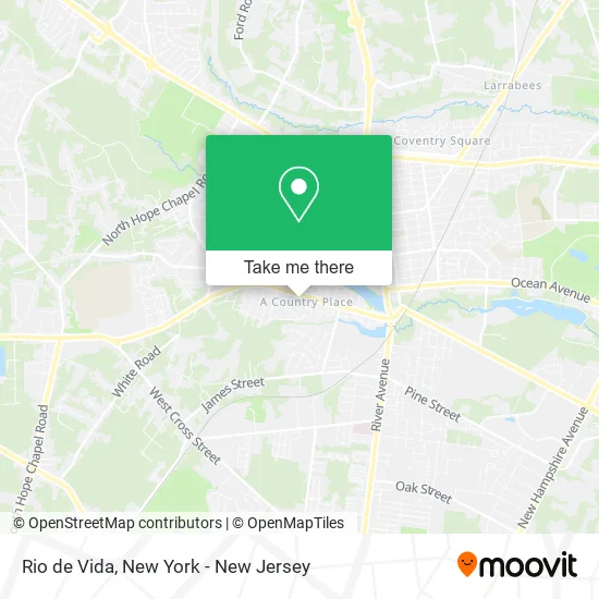
See Rio de Vida, Lakewood, on the map
Public Transit to Rio de Vida in Lakewood
Wondering how to get to Rio de Vida in Lakewood? Moovit helps you find the best way to get to Rio de Vida with step-by-step directions from the nearest public transit station.
Moovit provides free maps and live directions to help you navigate through your city. View schedules, routes, timetables, and find out how long does it take to get to Rio de Vida in real time.
Looking for the nearest stop or station to Rio de Vida? Check out this list of stops closest to your destination: Central Ave at Columbus Ave#.
Bus: 139, 317.
Want to see if there’s another route that gets you there at an earlier time? Moovit helps you find alternative routes or times. Get directions from and directions to Rio de Vida easily from the Moovit App or Website.
We make riding to Rio de Vida easy, which is why over 1.5 million users, including users in Lakewood, trust Moovit as the best app for public transit. You don’t need to download an individual bus app or train app, Moovit is your all-in-one transit app that helps you find the best bus time or train time available.
For information on prices of bus and train, costs and ride fares to Rio de Vida, please check the Moovit app.
Use the app to navigate to popular places including to the airport, hospital, stadium, grocery store, mall, coffee shop, school, college, and university.
Rio de Vida Address: 20 Monterey Cir Lakewood, NJ 08701 street in Lakewood
- Onehandedfitness,
- Esther O Designs,
- Sorala Foundation,
- One on One Health,
- Ladore Labs & Skincare,
- Columbus Ave Shul,
- Atlas Medical Eq Service,
- Nock Out Graphics,
- A Plus Cleaning,
- Sutton Dr,
- Etz Chaim Judaica,
- The Chassan's Place,
- Radd,
- Bates Footwear,
- The Longfield Group,
- Israel Cancer Support Network,
- Lakewood Ave,
- Sister Mary Grace Burns Arboretum,
- Bitz of Glitz,
- Iglesia Metodista Cristo, Howell, NJ
Places Near Rio de Vida (Lakewood)
- Hudson Yards, Manhattan,
- 66 John Street, Manhattan,
- 111 Centre New York City Supreme Court, Manhattan,
- Chinatown, Manhattan,
- 26 Federal Plaza, Manhattan,
- Wall Street, Manhattan,
- Katz's Deli, Manhattan,
- Queens Center Mall, Queens,
- 911 Memorial, Manhattan,
- 376 Hudson Street, Manhattan,
- Bellevue Hospital, Manhattan,
- San Gennaro Feast, Manhattan,
- Rockefeller Center, Manhattan,
- Times Square, Manhattan,
- Pier 83, Manhattan,
- Mountainside Hospital, Glen Ridge,
- 1 Police Plaza, Manhattan,
- qqqq, Manhattan,
- 3 Stone St, Manhattan,
- SoHo, Manhattan
How to get to popular places in New York - New Jersey with public transit
Get around Lakewood by public transit!
Traveling around Lakewood has never been so easy. See step by step directions as you travel to any attraction, street or major public transit station. View bus and train schedules, arrival times, service alerts and detailed routes on a map, so you know exactly how to get to anywhere in Lakewood.
When traveling to any destination around Lakewood use Moovit's Live Directions with Get Off Notifications to know exactly where and how far to walk, how long to wait for your line, and how many stops are left. Moovit will alert you when it's time to get off — no need to constantly re-check whether yours is the next stop.
Wondering how to use public transit in Lakewood or how to pay for public transit in Lakewood? Moovit public transit app can help you navigate your way with public transit easily, and at minimum cost. It includes public transit fees, ticket prices, and costs. Looking for a map of Lakewood public transit lines? Moovit public transit app shows all public transit maps in Lakewood with all Bus, Train, Subway, Light Rail, Ferry and Cable Car routes and stops on an interactive map.
New York - New Jersey has 6 transit type(s), including: Bus, Train, Subway, Light Rail, Ferry and Cable Car, operated by several transit agencies, including MTA Subway, Metro-North Railroad, LIRR, PATH, MTA New York City Transit - Express routes, MTA Bus, NJ Transit, NYC Ferry, NICE bus, Bee-Line Bus, NJ Transit Rail, Norwalk Transit District, Hartford Line, River Valley Transit and HART