How to get to Riosalud by bus?
Click on the bus route to see step by step directions with maps, line arrival times and updated time schedules.
From Gran Plaza 2 Majadahonda, Área Metropolitana De Madrid Y Corredor Del Henares
53 minFrom Carril Bus-VAO A-6, Las Rozas De Madrid
37 minFrom Hospital Universitario Puerta de Hierro, Majadahonda
17 minFrom Universidad Alfonso X El Sabio (UAX), Villanueva De La Cañada
66 minFrom Hospital De Majadahonda Fremap, Área Metropolitana De Madrid Y Corredor Del Henares
56 minFrom Hipercor, Pozuelo De Alarcón
61 minFrom Autovía A-6 Km 20, Las Rozas De Madrid
40 minFrom Polígono P-29, Collado Villalba
60 minFrom Fremap Majadahonda, Majadahonda
53 minFrom Costco Wholesale, Las Rozas De Madrid
24 min
Bus stops near Riosalud in Galapagar
Bus lines to Riosalud in Galapagar
What are the closest stations to Riosalud?
The closest stations to Riosalud are:
- Camino Real - Hotel is 71 meters away, 2 min walk.
- Camino Real - Urb. Molino De La Hoz is 221 meters away, 4 min walk.
Which bus lines stop near Riosalud?
These bus lines stop near Riosalud: 1, 661, 661A, 667.
What’s the nearest bus station to Riosalud in Galapagar?
The nearest bus station to Riosalud in Galapagar is Camino Real - Hotel. It’s a 2 min walk away.
What time is the first bus to Riosalud in Galapagar?
The N604 is the first bus that goes to Riosalud in Galapagar. It stops nearby at 3:49 AM.
What time is the last bus to Riosalud in Galapagar?
The N604 is the last bus that goes to Riosalud in Galapagar. It stops nearby at 2:49 AM.
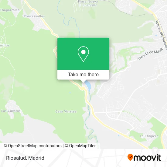
See Riosalud, Galapagar, on the map
Public Transit to Riosalud in Galapagar
Wondering how to get to Riosalud in Galapagar? Moovit helps you find the best way to get to Riosalud with step-by-step directions from the nearest public transit station.
Moovit provides free maps and live directions to help you navigate through your city. View schedules, routes, timetables, and find out how long does it take to get to Riosalud in real time.
Looking for the nearest stop or station to Riosalud? Check out this list of stops closest to your destination: Camino Real - Hotel; Camino Real - Urb. Molino De La Hoz.
Bus: 1, 661, 661A, 667, 662, N604.
Want to see if there’s another route that gets you there at an earlier time? Moovit helps you find alternative routes or times. Get directions from and directions to Riosalud easily from the Moovit App or Website.
We make riding to Riosalud easy, which is why over 1.5 million users, including users in Galapagar, trust Moovit as the best app for public transit. You don’t need to download an individual bus app or train app, Moovit is your all-in-one transit app that helps you find the best bus time or train time available.
For information on prices of bus and train, costs and ride fares to Riosalud, please check the Moovit app.
Use the app to navigate to popular places including to the airport, hospital, stadium, grocery store, mall, coffee shop, school, college, and university.
Riosalud Address: Camino real, 2 street in Galapagar
- Feder Gs Social,
- La Casona del Pastor,
- ETECNIC,
- Residencia Tercera Edad Riosalud,
- Urbanización Molino de la Hoz,
- Embalse Del Molino De La Hoz,
- Calle Camino Real 1,
- Supermercado Molino de la Hoz,
- La Esquinita de Molino,
- Los Arroces de Papa,
- La Paella de Papa,
- M. de Gea Peluqueros S,
- The Hair Hunter Co,
- Academia Rincón del Alumno - Las Rozas,
- Urbanización Molino de la Hoz,
- Calle Azor,
- Calle Azor 2,
- Residencia Montesalud,
- Montesalud, centro de Mayores en Las Rozas (Madrid),
- Montesalud
Places Near Riosalud (Galapagar)
- Rastro De Madrid, Área Metropolitana De Madrid Y Corredor Del Henares,
- Calle de López de Hoyos 169, Madrid,
- Sala La Riviera, Madrid,
- Hospital Clínico Universitario San Carlos, Madrid,
- Hospital Universitario Ramón y Cajal, Madrid,
- Centro Comercial La Gavia, Área Metropolitana De Madrid Y Corredor Del Henares,
- Plaza Mayor, Madrid,
- Nassica, Área Metropolitana De Madrid Y Corredor Del Henares,
- Hospital Universitario La Paz, Madrid,
- Plenilunio, Área Metropolitana De Madrid Y Corredor Del Henares,
- Centro Comercial Oasiz Madrid, Área Metropolitana De Madrid Y Corredor Del Henares,
- Tres Aguas, Alcorcón,
- Wizink Center, Madrid,
- Estadio Wanda Metropolitano, Área Metropolitana De Madrid Y Corredor Del Henares,
- Centro Comercial Islazul, Área Metropolitana De Madrid Y Corredor Del Henares,
- Centro Comercial La Vaguada, Área Metropolitana De Madrid Y Corredor Del Henares,
- Palacio De Vistalegre, Área Metropolitana De Madrid Y Corredor Del Henares,
- Estacion de Chamartin, Madrid,
- Mendez Alvaro, Madrid,
- Mercadillo de Majadahonda, Majadahonda
How to get to popular places in Madrid with public transit
Get around Galapagar by public transit!
Traveling around Galapagar has never been so easy. See step by step directions as you travel to any attraction, street or major public transit station. View bus and train schedules, arrival times, service alerts and detailed routes on a map, so you know exactly how to get to anywhere in Galapagar.
When traveling to any destination around Galapagar use Moovit's Live Directions with Get Off Notifications to know exactly where and how far to walk, how long to wait for your line, and how many stops are left. Moovit will alert you when it's time to get off — no need to constantly re-check whether yours is the next stop.
Wondering how to use public transit in Galapagar or how to pay for public transit in Galapagar? Moovit public transit app can help you navigate your way with public transit easily, and at minimum cost. It includes public transit fees, ticket prices, and costs. Looking for a map of Galapagar public transit lines? Moovit public transit app shows all public transit maps in Galapagar with all Bus, Train, Metro and Light Rail routes and stops on an interactive map.
Madrid has 4 transit type(s), including: Bus, Train, Metro and Light Rail, operated by several transit agencies, including Metro de Madrid, Metro Ligero, Tranvía de Parla, Renfe Cercanías - Servicios de Autobús especiales, Renfe Cercanias, Renfe Cercanías, EMT, Interurbanos, Urbanos de Alcalá de Henares, Urbanos de Alcobendas, Urbanos de Alcorcón, Urbanos de Algete, Urbanos de Aranjuez, Urbanos de Arganda del Rey and Urbanos de Arroyomolinos