How to get to Rise Dispensaries - Paterson by bus?
Click on the bus route to see step by step directions with maps, line arrival times and updated time schedules.
How to get to Rise Dispensaries - Paterson by train?
Click on the train route to see step by step directions with maps, line arrival times and updated time schedules.
Bus stops near Rise Dispensaries - Paterson
Train station near Rise Dispensaries - Paterson
- Hawthorne, 25 min walk,VIEW
Bus lines to Rise Dispensaries - Paterson
What are the closest stations to Rise Dispensaries - Paterson?
The closest stations to Rise Dispensaries - Paterson are:
- 5th Ave at East 26th St is 30 yards away, 1 min walk.
- 2nd Ave at East 23rd St is 565 yards away, 7 min walk.
- Madison Ave at 4th Ave is 655 yards away, 8 min walk.
- Hawthorne is 2054 yards away, 25 min walk.
Which bus lines stop near Rise Dispensaries - Paterson?
These bus lines stop near Rise Dispensaries - Paterson: 171, 704, 746.
Which train line stops near Rise Dispensaries - Paterson?
MCL (Suffern)
What’s the nearest train station to Rise Dispensaries - Paterson?
The nearest train station to Rise Dispensaries - Paterson is Hawthorne. It’s a 25 min walk away.
What’s the nearest bus station to Rise Dispensaries - Paterson?
The nearest bus station to Rise Dispensaries - Paterson is 5th Ave at East 26th St. It’s a 1 min walk away.
What time is the first train to Rise Dispensaries - Paterson?
The MCL is the first train that goes to Rise Dispensaries - Paterson. It stops nearby at 5:16 AM.
What time is the last train to Rise Dispensaries - Paterson?
The MCL is the last train that goes to Rise Dispensaries - Paterson. It stops nearby at 2:13 AM.
What time is the first bus to Rise Dispensaries - Paterson?
The 704 is the first bus that goes to Rise Dispensaries - Paterson. It stops nearby at 5:40 AM.
What time is the last bus to Rise Dispensaries - Paterson?
The 704 is the last bus that goes to Rise Dispensaries - Paterson. It stops nearby at 10:15 PM.
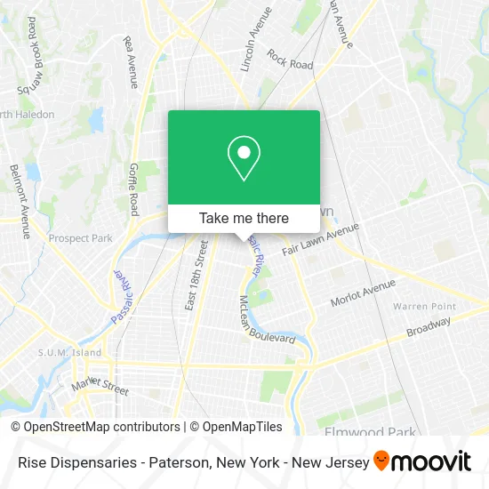
See Rise Dispensaries - Paterson on the map
Public Transportation to Rise Dispensaries - Paterson
Wondering how to get to Rise Dispensaries - Paterson? Moovit helps you find the best way to get to Rise Dispensaries - Paterson with step-by-step directions from the nearest public transit station.
Moovit provides free maps and live directions to help you navigate through your city. View schedules, routes, timetables, and find out how long does it take to get to Rise Dispensaries - Paterson in real time.
Looking for the nearest stop or station to Rise Dispensaries - Paterson? Check out this list of stops closest to your destination: 5th Ave at East 26th St; 2nd Ave at East 23rd St; Madison Ave at 4th Ave; Hawthorne.
Bus: 171, 704, 746, 748.Train: MCL, PJL.
Want to see if there’s another route that gets you there at an earlier time? Moovit helps you find alternative routes or times. Get directions from and directions to Rise Dispensaries - Paterson easily from the Moovit App or Website.
We make riding to Rise Dispensaries - Paterson easy, which is why over 1.5 million users, including users in Paterson, trust Moovit as the best app for public transit. You don’t need to download an individual bus app or train app, Moovit is your all-in-one transit app that helps you find the best bus time or train time available.
For information on prices of bus and train, costs and ride fares to Rise Dispensaries - Paterson, please check the Moovit app.
Use the app to navigate to popular places including to the airport, hospital, stadium, grocery store, mall, coffee shop, school, college, and university.
Rise Dispensaries - Paterson Address: 196 3rd Ave street in Paterson
- Rise Paterson,
- Rise Dispensaries,
- Romo Restaurant,
- Columbia Bank,
- Mamajuana Cafe Paterson (Mama Juana Paterson),
- Supply Plus Inc,
- Scp,
- Pickup Please - Free Donation Pickup In Paterson,
- La Neve's,
- Duzant Entertainment,
- NJ DOT Yard Paterson,
- Deluxe Foods International,
- Erevival Llc,
- Legacy Luxury Limo Corp,
- Ups Access Point Location,
- Libertyx Bitcoin Atm,
- 75 McLean Blvd Parking,
- Golden Opportunity Inc,
- Home Depot,
- Chiropractic Pain Free Treatment
Places Near Rise Dispensaries - Paterson
- Hudson Yards, Manhattan,
- 66 John Street, Manhattan,
- 376 Hudson Street, Manhattan,
- Wall Street, Manhattan,
- Times Square, Manhattan,
- San Gennaro Feast, Manhattan,
- Queens Center Mall, Queens,
- Rockefeller Center, Manhattan,
- 911 Memorial, Manhattan,
- 111 Centre New York City Supreme Court, Manhattan,
- SoHo, Manhattan,
- Katz's Deli, Manhattan,
- qqqq, Manhattan,
- Mountainside Hospital, Glen Ridge,
- 26 Federal Plaza, Manhattan,
- 3 Stone St, Manhattan,
- Pier 83, Manhattan,
- Chinatown, Manhattan,
- 1 Police Plaza, Manhattan,
- Bellevue Hospital, Manhattan
How to get to popular places in New York - New Jersey with public transit
Get around Paterson by public transit!
Traveling around Paterson has never been so easy. See step by step directions as you travel to any attraction, street or major public transit station. View bus and train schedules, arrival times, service alerts and detailed routes on a map, so you know exactly how to get to anywhere in Paterson.
When traveling to any destination around Paterson use Moovit's Live Directions with Get Off Notifications to know exactly where and how far to walk, how long to wait for your line, and how many stops are left. Moovit will alert you when it's time to get off — no need to constantly re-check whether yours is the next stop.
Wondering how to use public transit in Paterson or how to pay for public transit in Paterson? Moovit public transit app can help you navigate your way with public transit easily, and at minimum cost. It includes public transit fees, ticket prices, and costs. Looking for a map of Paterson public transit lines? Moovit public transit app shows all public transit maps in Paterson with all Bus, Train, Subway, Light Rail, Ferry and Cable Car routes and stops on an interactive map.
New York - New Jersey has 6 transit type(s), including: Bus, Train, Subway, Light Rail, Ferry and Cable Car, operated by several transit agencies, including MTA Subway, Metro-North Railroad, LIRR, PATH, MTA New York City Transit - Express routes, MTA Bus, NJ Transit, NYC Ferry, NICE bus, Bee-Line Bus, NJ Transit Rail, Norwalk Transit District, Hartford Line, River Valley Transit and HART