How to get to Rise Kitchen & Deli by bus?
Click on the bus route to see step by step directions with maps, line arrival times and updated time schedules.
From Naples, Florida, Plantation
32 minFrom Lauderhill Mall, Plantation
33 minFrom Las Olas, Fort Lauderdale
57 minFrom Omega Maintenance Services, Miramar-Pembroke Pines
44 minFrom Calder Casino, Miami Gardens
77 minFrom Las olas Blvd, Fort Lauderdale
60 minFrom Walmart (Walmart Supercenter Hollywood - State Rd 7), Hollywood
25 minFrom Calder Race Course (Calder Casino), Miami Gardens
73 minFrom Broward College South Campus, Miramar-Pembroke Pines
41 minFrom Broward County, Fort Lauderdale
56 min
Bus stops near Rise Kitchen & Deli in Davie
Bus lines to Rise Kitchen & Deli in Davie
What are the closest stations to Rise Kitchen & Deli?
The closest stations to Rise Kitchen & Deli are:
- US 441/Stirling Road (North) - (Seminole Way) is 458 yards away, 7 min walk.
- US 441 & Stirling Road is 755 yards away, 10 min walk.
Which bus lines stop near Rise Kitchen & Deli?
These bus lines stop near Rise Kitchen & Deli: 18, 441.
What’s the nearest bus station to Rise Kitchen & Deli in Davie?
The nearest bus station to Rise Kitchen & Deli in Davie is US 441/Stirling Road (North) - (Seminole Way). It’s a 7 min walk away.
What time is the first bus to Rise Kitchen & Deli in Davie?
The 18 is the first bus that goes to Rise Kitchen & Deli in Davie. It stops nearby at 5:18 AM.
What time is the last bus to Rise Kitchen & Deli in Davie?
The 18 is the last bus that goes to Rise Kitchen & Deli in Davie. It stops nearby at 12:39 AM.
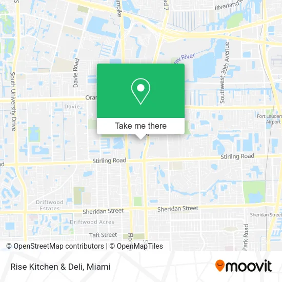
See Rise Kitchen & Deli, Davie, on the map
Public Transit to Rise Kitchen & Deli in Davie
Wondering how to get to Rise Kitchen & Deli in Davie? Moovit helps you find the best way to get to Rise Kitchen & Deli with step-by-step directions from the nearest public transit station.
Moovit provides free maps and live directions to help you navigate through your city. View schedules, routes, timetables, and find out how long does it take to get to Rise Kitchen & Deli in real time.
Looking for the nearest stop or station to Rise Kitchen & Deli? Check out this list of stops closest to your destination: US 441/Stirling Road (North) - (Seminole Way); US 441 & Stirling Road.
Bus: 18, 441, 15, 16.
Want to see if there’s another route that gets you there at an earlier time? Moovit helps you find alternative routes or times. Get directions from and directions to Rise Kitchen & Deli easily from the Moovit App or Website.
We make riding to Rise Kitchen & Deli easy, which is why over 1.5 million users, including users in Davie, trust Moovit as the best app for public transit. You don’t need to download an individual bus app or train app, Moovit is your all-in-one transit app that helps you find the best bus time or train time available.
For information on prices of bus, costs and ride fares to Rise Kitchen & Deli, please check the Moovit app.
Use the app to navigate to popular places including to the airport, hospital, stadium, grocery store, mall, coffee shop, school, college, and university.
Rise Kitchen & Deli Address: 1 Seminole Way Fort Lauderdale, FL 33314 street in Davie
- Seminole Hard Rock Hotel Casino Hollywood FL USA,
- Splash at Hard Rock Guitar Hotel,
- Seminole Hard Rock Hotel & Casino - Hollywood (Oasis Tower at Seminole Hard Rock Hotel & Casino),
- Hard Rock Live Hollywood,
- Lux Miami,
- Daer Dayclub,
- Parking Lot on Lucky Street,
- Seminole Hard Rock Hotel & Casino - Lucky Street Garage,
- Seminole Hard Rock Hotel & Casino Hollywood,
- Seminole Hard Rock Hotel & Casino Hollywood ,
- Daer South Florida,
- Sal's Italian Ristorante,
- Dolce by Wyndham-Hollywood,
- Honey Pot Smoke Shop - Hollywood,
- Klondike Fine Jewelry and Watches,
- Shoppes of Hard Rock,
- Victory Christian Center,
- Alaska Florida,
- Allstate Insurance,
- US Pawn Jewlery
Places Near Rise Kitchen & Deli (Davie)
- Miami VA Hospital, Miami,
- Bayside Marketplace, Miami,
- Miami Freedom Park, Miami,
- Richard E. Gerstein Justice Building, Miami,
- Dolphin Mall Bus, Miami,
- Miami-Dade County Courthouse, Miami,
- Aventura Mall, Miami Beach,
- Aventura Mall, Miami,
- Zoo Miami, Miami,
- Hard Rock Stadium, Miami Gardens,
- Wynwood, Miami,
- Sawgrass mall ( FL ), Miami Beach,
- Keiser University Flagship Campus, West Palm Beach,
- Brickell City Centre, Miami,
- Miami Design District, Miami,
- Sawgrass Mall, Miami,
- Dolphin Mall, Miami,
- Marlins Park, Miami,
- Little Havana, Miami,
- Port of Miami Cruise Terminal, Miami
How to get to popular places in Miami with public transit
Get around Davie by public transit!
Traveling around Davie has never been so easy. See step by step directions as you travel to any attraction, street or major public transit station. View bus and train schedules, arrival times, service alerts and detailed routes on a map, so you know exactly how to get to anywhere in Davie.
When traveling to any destination around Davie use Moovit's Live Directions with Get Off Notifications to know exactly where and how far to walk, how long to wait for your line, and how many stops are left. Moovit will alert you when it's time to get off — no need to constantly re-check whether yours is the next stop.
Wondering how to use public transit in Davie or how to pay for public transit in Davie? Moovit public transit app can help you navigate your way with public transit easily, and at minimum cost. It includes public transit fees, ticket prices, and costs. Looking for a map of Davie public transit lines? Moovit public transit app shows all public transit maps in Davie with all Bus, Train, Light Rail and Ferry routes and stops on an interactive map.
Miami has 4 transit type(s), including: Bus, Train, Light Rail and Ferry, operated by several transit agencies, including Broward County Transit, Miami-Dade Transit, Metrorail, Palm Tran, Tri-Rail, Brightline, MARTY, City of Homestead Trolley, Key West Transit, Treasure Coast Connector, GoLine IRT, Amtrak, Greyhound-us, FlixBus-us and Aventura Express Shuttle Bus