How to get to Rising Stars Learning Center by bus?
Click on the bus route to see step by step directions with maps, line arrival times and updated time schedules.
From National Reconnaissance Office, Fairfax County
59 minFrom Falls Church Marriott Fairview Park, Fairfax County
69 minFrom Navy Federal Credit Union, Fairfax County
74 minFrom Inova employee Shuttle, Fairfax County
41 minFrom Inova Fairfax Hospital, Fairfax County
47 minFrom Vienna, Virginia, Fairfax County
44 minFrom Dulles Discovery, Fairfax County
68 minFrom Northern Virginia Community College - Annandale Campus, Fairfax County
46 minFrom Defense Health Agency Headquarters, Fairfax County
57 min
Bus stops near Rising Stars Learning Center in Fairfax County
Bus lines to Rising Stars Learning Center in Fairfax County
What are the closest stations to Rising Stars Learning Center?
The closest stations to Rising Stars Learning Center are:
- Random Hills Rd+Verret Dr is 387 yards away, 5 min walk.
- Random Hills Rd @ Ridge Top Rd is 394 yards away, 6 min walk.
- Ridge Top Rd+Cavalier Landing Ct is 470 yards away, 6 min walk.
- Ridge Top Rd & Cavalier Landing Ct is 514 yards away, 7 min walk.
Which bus lines stop near Rising Stars Learning Center?
These bus lines stop near Rising Stars Learning Center: 610, F60, F61.
What’s the nearest bus station to Rising Stars Learning Center in Fairfax County?
The nearest bus station to Rising Stars Learning Center in Fairfax County is Random Hills Rd+Verret Dr. It’s a 5 min walk away.
What time is the first bus to Rising Stars Learning Center in Fairfax County?
The F60 is the first bus that goes to Rising Stars Learning Center in Fairfax County. It stops nearby at 5:07 AM.
What time is the last bus to Rising Stars Learning Center in Fairfax County?
The F60 is the last bus that goes to Rising Stars Learning Center in Fairfax County. It stops nearby at 10:39 PM.
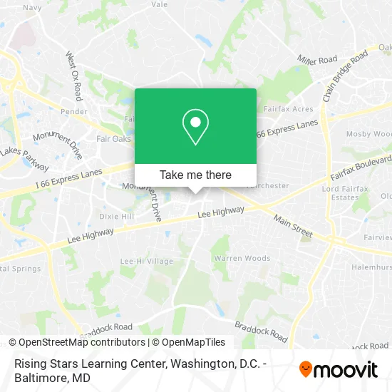
See Rising Stars Learning Center, Fairfax County, on the map
Public Transit to Rising Stars Learning Center in Fairfax County
Wondering how to get to Rising Stars Learning Center in Fairfax County? Moovit helps you find the best way to get to Rising Stars Learning Center with step-by-step directions from the nearest public transit station.
Moovit provides free maps and live directions to help you navigate through your city. View schedules, routes, timetables, and find out how long does it take to get to Rising Stars Learning Center in real time.
Looking for the nearest stop or station to Rising Stars Learning Center? Check out this list of stops closest to your destination: Random Hills Rd+Verret Dr; Random Hills Rd @ Ridge Top Rd; Ridge Top Rd+Cavalier Landing Ct; Ridge Top Rd & Cavalier Landing Ct.
Bus: 610, F60, F61, 625.
Want to see if there’s another route that gets you there at an earlier time? Moovit helps you find alternative routes or times. Get directions from and directions to Rising Stars Learning Center easily from the Moovit App or Website.
We make riding to Rising Stars Learning Center easy, which is why over 1.5 million users, including users in Fairfax County, trust Moovit as the best app for public transit. You don’t need to download an individual bus app or train app, Moovit is your all-in-one transit app that helps you find the best bus time or train time available.
For information on prices of bus and metro, costs and ride fares to Rising Stars Learning Center, please check the Moovit app.
Use the app to navigate to popular places including to the airport, hospital, stadium, grocery store, mall, coffee shop, school, college, and university.
Rising Stars Learning Center Address: 4035 Ridge Top Rd Fairfax, VA 22030 street in Fairfax County
- Mythic Entertainment (Ea Mythic),
- Parks & Recreation Religious Facilities Term Contract,
- Crown Ridge,
- MVB Mortgage (Potomac Mortgage Group),
- Clinical Psychology Services,
- Livesay & Myers, P.C. - Fairfax Office,
- Law Office of Robert J. Weil,
- Avsii,
- Law Offices of Dominick A. Pilli, P.C.,
- Robin G Mathis,
- John Carter Morgan,
- Behavioral Approaches To Health Problems,
- Phaneuf Associates Inc.,
- The Hawk Law Firm,
- The Wine Team at CMG Home Loans,
- Michael Duong,
- Consult - KT,
- Action Restoration Services Maryland,
- Remove A Pool - Virginia,
- Marriott Hotel Pool
Places Near Rising Stars Learning Center (Fairfax County)
- National Mall, Washington,
- Museum Of The Bible, Washington,
- Amazon Hq2, Arlington County,
- M&T Bank Stadium, Baltimore,
- Warner Theatre, Washington,
- Marriott Marquis Washington, DC, Washington,
- Rock Creek Tennis Center, Washington,
- Georgetown, Washington,
- Sibley Memorial Hospital, Washington,
- Camden Yards, Baltimore,
- Westfield Montgomery Mall, Montgomery County,
- Washington National Cathedral, Washington,
- Basilica of the National Shrine, Washington,
- National Museum of African American History and Culture, Washington,
- National Zoo, Washington,
- The Anthem, Washington,
- PG Mall, Prince George's County,
- Washington DC VA Medical Center, Washington,
- Capital One Arena, Washington,
- Pennsylvania Ave NW (3rd st and pennsylvania), Washington
How to get to popular places in Washington, D.C. - Baltimore, MD with public transit
Get around Fairfax County by public transit!
Traveling around Fairfax County has never been so easy. See step by step directions as you travel to any attraction, street or major public transit station. View bus and train schedules, arrival times, service alerts and detailed routes on a map, so you know exactly how to get to anywhere in Fairfax County.
When traveling to any destination around Fairfax County use Moovit's Live Directions with Get Off Notifications to know exactly where and how far to walk, how long to wait for your line, and how many stops are left. Moovit will alert you when it's time to get off — no need to constantly re-check whether yours is the next stop.
Wondering how to use public transit in Fairfax County or how to pay for public transit in Fairfax County? Moovit public transit app can help you navigate your way with public transit easily, and at minimum cost. It includes public transit fees, ticket prices, and costs. Looking for a map of Fairfax County public transit lines? Moovit public transit app shows all public transit maps in Fairfax County with all Bus, Train, Metro, Light Rail and Ferry routes and stops on an interactive map.
Washington, D.C. - Baltimore, MD has 5 transit type(s), including: Bus, Train, Metro, Light Rail and Ferry, operated by several transit agencies, including WMATA, Montgomery County Ride On, Fairfax Connector, TheBus, PRTC, DASH - Alexandria, Arlington Transit (ART), RTA of Central Maryland, MDOT MTA, MDOT MTA Light RailLink, MDOT MTA Commuter Bus, MDOT MTA Local Bus, FXBGO!, Virginia Railway Express (VRE) and MARC