How to get to Peynett Restaurant by bus?
Click on the bus route to see step by step directions with maps, line arrival times and updated time schedules.
Bus stops near Peynett Restaurant in Bollengo
Bus lines to Peynett Restaurant in Bollengo
What are the closest stations to Peynett Restaurant?
The closest stations to Peynett Restaurant are:
- Bollengo (State Road 228/Cavour Street) is 255 meters away, 4 min walk.
- Bollengo - Ss228 is 330 meters away, 5 min walk.
- Bollengo - Cossavella St is 413 meters away, 6 min walk.
Which bus lines stop near Peynett Restaurant?
These bus lines stop near Peynett Restaurant: 154, 155, 265, 358.
What’s the nearest bus station to Peynett Restaurant in Bollengo?
The nearest bus station to Peynett Restaurant in Bollengo is Bollengo (State Road 228/Cavour Street). It’s a 4 min walk away.
What time is the first bus to Peynett Restaurant in Bollengo?
The 154 is the first bus that goes to Peynett Restaurant in Bollengo. It stops nearby at 9:26 AM.
What time is the last bus to Peynett Restaurant in Bollengo?
The 154 is the last bus that goes to Peynett Restaurant in Bollengo. It stops nearby at 7:31 PM.
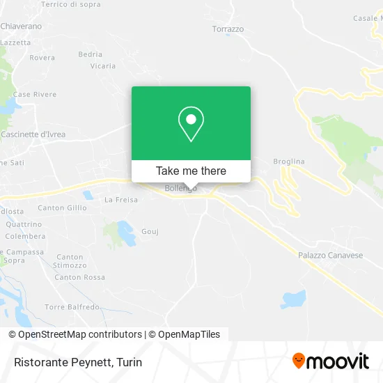
See Peynett Restaurant, Bollengo, on the map
Public Transit to Peynett Restaurant in Bollengo
Wondering how to get to Peynett Restaurant in Bollengo? Moovit helps you find the best way to get to Peynett Restaurant with step-by-step directions from the nearest public transit station.
Moovit provides free maps and live directions to help you navigate through your city. View schedules, routes, timetables, and find out how long does it take to get to Peynett Restaurant in real time.
Looking for the nearest stop or station to Peynett Restaurant? Check out this list of stops closest to your destination: Bollengo (State Road 228/Cavour Street); Bollengo - Ss228; Bollengo - Cossavella St.
Bus: 154, 155, 265, 358, 151, 381.
Want to see if there’s another route that gets you there at an earlier time? Moovit helps you find alternative routes or times. Get directions from and directions to Peynett Restaurant easily from the Moovit App or Website.
We make riding to Peynett Restaurant easy, which is why over 1.5 million users, including users in Bollengo, trust Moovit as the best app for public transit. You don’t need to download an individual bus app or train app, Moovit is your all-in-one transit app that helps you find the best bus time or train time available.
For information on prices of bus, costs and ride fares to Peynett Restaurant, please check the Moovit app.
Use the app to navigate to popular places including to the airport, hospital, stadium, grocery store, mall, coffee shop, school, college, and university.
Peynett Restaurant Address: Via Statale, 25 10012 Bollengo street in Bollengo
- CISL Office of Bollengo,
- Maxim's Bar Tabacchi by Ceresa Grazia,
- Bravo Paolo,
- Roffino Roberto,
- Arfaioli Marco,
- Lo.Ma.Ti.C. Trade Srl Machine Tools Trade,
- Cristaltermic,
- Transervice,
- Darimotor Service by Camoletto Massimiliano,
- Finergy di Torresan Marco,
- Noivet,
- Tresina Bakery,
- Maxim's,
- Monica Siviero Hair Salon,
- Giglio Tos Samuele,
- Anna Valeria Monticone,
- Giuseppe Saragat Square,
- A.R.Go. Antitheft by Gorgerino Francesco,
- G. Gaglione Sports Field,
- Bollengo Albiano Sports Field
Places Near Peynett Restaurant (Bollengo)
- CDC Via Grazioli 11, Torino,
- Porta Susa, Torino,
- Sant'Anna Hospital, Torino,
- San Luigi Hospital, Orbassano,
- Castle Square, Torino,
- San Giovanni Bosco Hospital, Torino,
- CTO Hospital, Torino,
- Mauriziano Hospital, Torino,
- Regina Margherita Children's Hospital, Torino,
- Pacchiotti Giacinto Street 4, Torino,
- Prarostino Street 10/A, Torino,
- Le Gru, Grugliasco,
- Shopville Le Gru, Grugliasco,
- Martini Hospital, Torino,
- New Gate, Torino,
- Koelliker Hospital, Torino,
- Porta Palazzo, Torino,
- Molinette Hospital, Torino,
- Cavour Street 31, Torino,
- Arturo Farinelli Street 25, Torino
How to get to popular places in Turin with public transit
Get around Bollengo by public transit!
Traveling around Bollengo has never been so easy. See step by step directions as you travel to any attraction, street or major public transit station. View bus and train schedules, arrival times, service alerts and detailed routes on a map, so you know exactly how to get to anywhere in Bollengo.
When traveling to any destination around Bollengo use Moovit's Live Directions with Get Off Notifications to know exactly where and how far to walk, how long to wait for your line, and how many stops are left. Moovit will alert you when it's time to get off — no need to constantly re-check whether yours is the next stop.
Wondering how to use public transit in Bollengo or how to pay for public transit in Bollengo? Moovit public transit app can help you navigate your way with public transit easily, and at minimum cost. It includes public transit fees, ticket prices, and costs. Looking for a map of Bollengo public transit lines? Moovit public transit app shows all public transit maps in Bollengo with all Bus, Train, Metro, Light Rail, Funicular and Gondola routes and stops on an interactive map.
Turin has 6 transit type(s), including: Bus, Train, Metro, Light Rail, Funicular and Gondola, operated by several transit agencies, including GTT Urban Service, GTT Suburban Service, GTT Tourist Services, Trenitalia, Arenaways, Sadem, Cavourese, Grandabus Consortium, Bus Company - GrandaBus, Bus Company, Gelosobus, Nuova S.a.a.r., SAC, Giors Bus Lines and Allasia Bus Lines