Directions to Rita L Bunck (Wichita) with public transportation
The following transit lines have routes that pass near Rita L Bunck
How to get to Rita L Bunck by bus?
Click on the bus route to see step by step directions with maps, line arrival times and updated time schedules.
From Launchpad Community Center, Wichita
54 minFrom Farmers Insurance - District 72, Wichita
54 minFrom 21st & Maize, Wichita
76 minFrom Allen Conner Ins, Wichita
46 minFrom Move Up Wichita, Wichita
58 minFrom Prairie Vistas Gallery, Wichita
50 minFrom Total Card Solutions, Wichita
49 minFrom 21st and woodlawn, Wichita
60 minFrom Rock and Orme, Wichita
56 minFrom Financial Benefits, Wichita
76 min
Bus stops near Rita L Bunck in Wichita
Bus lines to Rita L Bunck in Wichita
What are the closest stations to Rita L Bunck?
The closest stations to Rita L Bunck are:
- Nims And Franklin Ob is 431 yards away, 6 min walk.
- Central And Nims Ob is 1300 yards away, 16 min walk.
- 13th St And Lewellen Ib is 1541 yards away, 19 min walk.
Which bus line stops near Rita L Bunck?
ROUTE17: RIVERSI (Route 17 Outboun)
What’s the nearest bus station to Rita L Bunck in Wichita?
The nearest bus station to Rita L Bunck in Wichita is Nims And Franklin Ob. It’s a 6 min walk away.
What time is the first bus to Rita L Bunck in Wichita?
The ROUTE17: RIVERSI is the first bus that goes to Rita L Bunck in Wichita. It stops nearby at 5:21 AM.
What time is the last bus to Rita L Bunck in Wichita?
The ROUTE17: RIVERSI is the last bus that goes to Rita L Bunck in Wichita. It stops nearby at 7:09 PM.
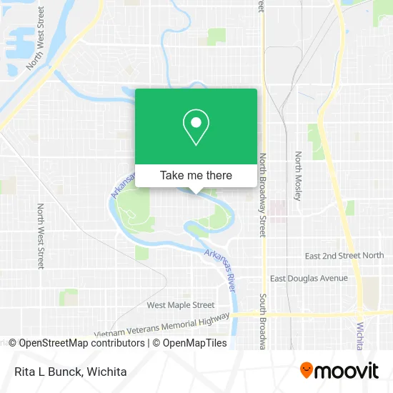
See Rita L Bunck, Wichita, on the map
Public Transit to Rita L Bunck in Wichita
Wondering how to get to Rita L Bunck in Wichita? Moovit helps you find the best way to get to Rita L Bunck with step-by-step directions from the nearest public transit station.
Moovit provides free maps and live directions to help you navigate through your city. View schedules, routes, timetables, and find out how long does it take to get to Rita L Bunck in real time.
Looking for the nearest stop or station to Rita L Bunck? Check out this list of stops closest to your destination: Nims And Franklin Ob; Central And Nims Ob; 13th St And Lewellen Ib.
Bus: ROUTE17: RIVERSI, ROUTE14: DOUGLAS, NORTH HIGH SCHOO.
Want to see if there’s another route that gets you there at an earlier time? Moovit helps you find alternative routes or times. Get directions from and directions to Rita L Bunck easily from the Moovit App or Website.
We make riding to Rita L Bunck easy, which is why over 1.5 million users, including users in Wichita, trust Moovit as the best app for public transit. You don’t need to download an individual bus app or train app, Moovit is your all-in-one transit app that helps you find the best bus time or train time available.
For information on prices of bus, costs and ride fares to Rita L Bunck, please check the Moovit app.
Use the app to navigate to popular places including to the airport, hospital, stadium, grocery store, mall, coffee shop, school, college, and university.
Rita L Bunck Address: 1111 W River Blvd Wichita, KS 67203 street in Wichita
- Netclix,
- Kansas Long-Term Care Specialists,
- North Riverside Park,
- 915 W Franklin St,
- Oak Park,
- Monikahouse - NCLB Events,
- Top Notch Food Concessions,
- Nacho Mamas,
- Landsapothecary,
- Leaf and Stone Apothecary,
- Older Women Escorts,
- N Nims St,
- Zion Exploration,
- Wichita Rain Barrels,
- Your Hair Babe,
- Joyful Willow Salon,
- Hail Dent Repair,
- 1400 by Elderslie,
- Crime Stoppers,
- US Precise Machine Tool
Places Near Rita L Bunck (Wichita)
- Spirit Aerosystems Inc, Building 1-198D,
- Four Corners Cafe @ Wesley Medical Center, Wichita,
- East 21st Street North and Webb Road, Wichita,
- McConnell Air Force Base, Mcconnell Afb,
- Ratcliff Auto and Truck Repair, Wichita,
- Bmer Tech Automotive, Wichita,
- Sena African Hair Braiding LLC, Wichita,
- Spirit Aerosystems,
- Hubb's glory hole, Wichita,
- Towne East Mall, Wichita,
- North High School, Wichita,
- Lopez Services, Wichita,
- 21st & Maize, Wichita,
- Paige Place Apartments, Wichita,
- Wichita Dwight D. Eisenhower National Airport (ICT) (Wichita Eisenhower National Airport), Wichita,
- Westside Athletic Field (Friends University Baseball Field), Wichita,
- Spirit AeroSystems, Bldg 2-280J (Section 9),
- Afghan Halal Market, Wichita,
- Total Card Solutions, Wichita,
- Ascencion Via Christi Hospital St Francis, Wichita
How to get to popular places in Wichita with public transit
Get around Wichita by public transit!
Traveling around Wichita has never been so easy. See step by step directions as you travel to any attraction, street or major public transit station. View bus and train schedules, arrival times, service alerts and detailed routes on a map, so you know exactly how to get to anywhere in Wichita.
When traveling to any destination around Wichita use Moovit's Live Directions with Get Off Notifications to know exactly where and how far to walk, how long to wait for your line, and how many stops are left. Moovit will alert you when it's time to get off — no need to constantly re-check whether yours is the next stop.
Wondering how to use public transit in Wichita or how to pay for public transit in Wichita? Moovit public transit app can help you navigate your way with public transit easily, and at minimum cost. It includes public transit fees, ticket prices, and costs. Looking for a map of Wichita public transit lines? Moovit public transit app shows all public transit maps in Wichita with all bus routes and stops on an interactive map.
Wichita has 1 transit type(s), including: bus, operated by several transit agencies, including Wichita Transit, Greyhound-us and FlixBus-us