How to get to Rita's by bus?
Click on the bus route to see step by step directions with maps, line arrival times and updated time schedules.
From Springhill Suites Alexandria Old Town/Southwest, Alexandria
66 minFrom AMC Hoffman Center 22, Alexandria
49 minFrom Alexandria Courthouse, Alexandria
55 minFrom Lorton, VA - Amtrak Auto Train Station (LOR), Fairfax County
60 minFrom Baileys Crossroads, Fairfax County
65 minFrom Del Ray, Alexandria
72 minFrom Thomas Jefferson High School for Science and Technology, Fairfax County
83 minFrom Shirlington, Arlington County
61 minFrom AMC Theatres-Hoffman Center 22, Alexandria
49 minFrom Sheraton Suites Old Town Alexandria, Alexandria
78 min
How to get to Rita's by metro?
Click on the metro route to see step by step directions with maps, line arrival times and updated time schedules.
Bus stops near Rita's in Fairfax County
Metro station near Rita's in Fairfax County
- Franconia-Springfield Metro, 58 min walk,VIEW
Train station near Rita's in Fairfax County
- Franconia-Springfield Vre Station, 62 min walk,VIEW
Bus lines to Rita's in Fairfax County
What are the closest stations to Rita's?
The closest stations to Rita's are:
- Telegraph Rd @ Hayfield Rd is 194 yards away, 3 min walk.
- Kingstowne Vlg Pkwy @ Hayfield Rd is 773 yards away, 10 min walk.
- Franconia-Springfield Metro is 4942 yards away, 58 min walk.
- Franconia-Springfield Vre Station is 5121 yards away, 62 min walk.
Which bus lines stop near Rita's?
These bus lines stop near Rita's: 301, 321, 322.
Which metro line stops near Rita's?
BLUE (Franconia-Springfield)
What’s the nearest bus station to Rita's in Fairfax County?
The nearest bus station to Rita's in Fairfax County is Telegraph Rd @ Hayfield Rd. It’s a 3 min walk away.
What time is the first metro to Rita's in Fairfax County?
The BLUE is the first metro that goes to Rita's in Fairfax County. It stops nearby at 5:00 AM.
What time is the last metro to Rita's in Fairfax County?
The BLUE is the last metro that goes to Rita's in Fairfax County. It stops nearby at 12:44 AM.
What time is the first train to Rita's in Fairfax County?
The FREDERICKSBURG LINE is the first train that goes to Rita's in Fairfax County. It stops nearby at 6:13 AM.
What time is the last train to Rita's in Fairfax County?
The FREDERICKSBURG LINE is the last train that goes to Rita's in Fairfax County. It stops nearby at 7:24 PM.
What time is the first bus to Rita's in Fairfax County?
The 321 is the first bus that goes to Rita's in Fairfax County. It stops nearby at 4:55 AM.
What time is the last bus to Rita's in Fairfax County?
The 321 is the last bus that goes to Rita's in Fairfax County. It stops nearby at 12:55 AM.
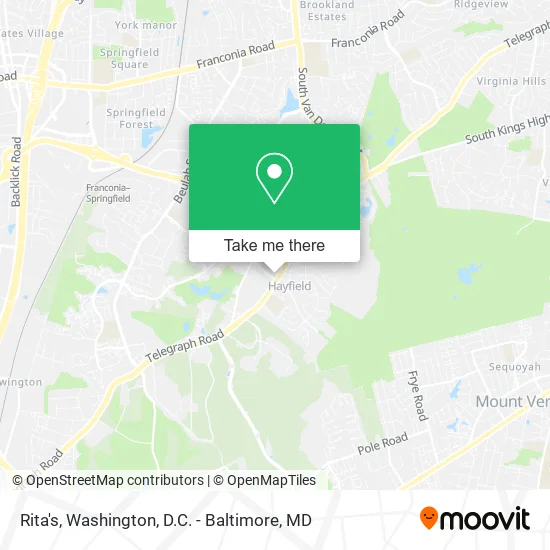
See Rita's, Fairfax County, on the map
Public Transit to Rita's in Fairfax County
Wondering how to get to Rita's in Fairfax County? Moovit helps you find the best way to get to Rita's with step-by-step directions from the nearest public transit station.
Moovit provides free maps and live directions to help you navigate through your city. View schedules, routes, timetables, and find out how long does it take to get to Rita's in real time.
Looking for the nearest stop or station to Rita's? Check out this list of stops closest to your destination: Telegraph Rd @ Hayfield Rd; Kingstowne Vlg Pkwy @ Hayfield Rd; Franconia-Springfield Metro; Franconia-Springfield Vre Station.
Bus: 301, 321, 322, 231.Train: FREDERICKSBURG LINE.Metro: BLUE.
Want to see if there’s another route that gets you there at an earlier time? Moovit helps you find alternative routes or times. Get directions from and directions to Rita's easily from the Moovit App or Website.
We make riding to Rita's easy, which is why over 1.5 million users, including users in Fairfax County, trust Moovit as the best app for public transit. You don’t need to download an individual bus app or train app, Moovit is your all-in-one transit app that helps you find the best bus time or train time available.
For information on prices of bus and metro, costs and ride fares to Rita's, please check the Moovit app.
Use the app to navigate to popular places including to the airport, hospital, stadium, grocery store, mall, coffee shop, school, college, and university.
Rita's Address: 7592 Telegraph Rd Alexandria, VA 22315 street in Fairfax County
- Smyrna Restaurant,
- Dollar Tree,
- House Of Dynasty,
- National Visionary Leadership Project,
- Gordon Murchie,
- Find Chiropractors Near Me,
- Hayfield Secondary School,
- Exkira,
- Hayfield Farm Neighborhood,
- Boys & Girls Club,
- The Kingstowne Communion,
- Hayfield Secondary,
- Fairfax County Public Schools,
- Marble Arch Gardens,
- US Army Geospatial Center,
- Humphreys Engineering Center,
- Personalized Custom Building,
- USCG TISCOM ( Coast Guard Ceremonial Honor Guard),
- Stratford Place Condominiums,
- Start Right Fitness
Places Near Rita's (Fairfax County)
- The Anthem, Washington,
- Westfield Montgomery Mall, Montgomery County,
- Pennsylvania Ave NW (3rd st and pennsylvania), Washington,
- Museum Of The Bible, Washington,
- Sibley Memorial Hospital, Washington,
- Warner Theatre, Washington,
- PG Mall, Prince George's County,
- Camden Yards, Baltimore,
- Georgetown, Washington,
- Washington DC VA Medical Center, Washington,
- Capital One Arena, Washington,
- National Museum of African American History and Culture, Washington,
- National Zoo, Washington,
- National Mall, Washington,
- Basilica of the National Shrine, Washington,
- Marriott Marquis Washington, DC, Washington,
- Rock Creek Tennis Center, Washington,
- Washington National Cathedral, Washington,
- M&T Bank Stadium, Baltimore,
- Amazon Hq2, Arlington County
How to get to popular places in Washington, D.C. - Baltimore, MD with public transit
Get around Fairfax County by public transit!
Traveling around Fairfax County has never been so easy. See step by step directions as you travel to any attraction, street or major public transit station. View bus and train schedules, arrival times, service alerts and detailed routes on a map, so you know exactly how to get to anywhere in Fairfax County.
When traveling to any destination around Fairfax County use Moovit's Live Directions with Get Off Notifications to know exactly where and how far to walk, how long to wait for your line, and how many stops are left. Moovit will alert you when it's time to get off — no need to constantly re-check whether yours is the next stop.
Wondering how to use public transit in Fairfax County or how to pay for public transit in Fairfax County? Moovit public transit app can help you navigate your way with public transit easily, and at minimum cost. It includes public transit fees, ticket prices, and costs. Looking for a map of Fairfax County public transit lines? Moovit public transit app shows all public transit maps in Fairfax County with all Bus, Train, Metro, Light Rail and Ferry routes and stops on an interactive map.
Washington, D.C. - Baltimore, MD has 5 transit type(s), including: Bus, Train, Metro, Light Rail and Ferry, operated by several transit agencies, including WMATA, Montgomery County Ride On, Fairfax Connector, TheBus, PRTC, DASH - Alexandria, Arlington Transit (ART), RTA of Central Maryland, MDOT MTA, MDOT MTA Light RailLink, MDOT MTA Commuter Bus, MDOT MTA Local Bus, FXBGO!, Virginia Railway Express (VRE) and MARC