How to get to Ritter Annette Designplus Werbeagentur by bus?
Click on the bus route to see step by step directions with maps, line arrival times and updated time schedules.
From Gaffenberg, Heilbronn
61 minFrom Heilbronner Straße 86, Verwaltungsgemeinschaft Brackenheim
74 minFrom XXXL Bierstorfer Heilbronn, Böckingen
31 minFrom Pflanzen Mauk, Verwaltungsgemeinschaft Lauffen am Neckar
59 minFrom Knorr Fabrikverkauf, Heilbronn
44 minFrom Klinikum am Gesundbrunnen, Heilbronn
31 minFrom Wertwiesenpark, Sontheim
49 minFrom Antalya Pizza & Kebaphaus, Verwaltungsgemeinschaft Eppingen
60 minFrom Kaufland, Mosbach
291 minFrom Pflanzen-Kölle, Heilbronn
39 min
Bus stops near Ritter Annette Designplus Werbeagentur in Heilbronn
Bus lines to Ritter Annette Designplus Werbeagentur in Heilbronn
What are the closest stations to Ritter Annette Designplus Werbeagentur?
The closest stations to Ritter Annette Designplus Werbeagentur are:
- Biberach Weirachstraße is 26 meters away, 1 min walk.
- Biberach Alter Friedhof is 186 meters away, 3 min walk.
Which bus lines stop near Ritter Annette Designplus Werbeagentur?
These bus lines stop near Ritter Annette Designplus Werbeagentur: 31, 670, 682.
What’s the nearest bus station to Ritter Annette Designplus Werbeagentur in Heilbronn?
The nearest bus station to Ritter Annette Designplus Werbeagentur in Heilbronn is Biberach Weirachstraße. It’s a 1 min walk away.
What time is the first bus to Ritter Annette Designplus Werbeagentur in Heilbronn?
The 31 is the first bus that goes to Ritter Annette Designplus Werbeagentur in Heilbronn. It stops nearby at 5:29 AM.
What time is the last bus to Ritter Annette Designplus Werbeagentur in Heilbronn?
The 31 is the last bus that goes to Ritter Annette Designplus Werbeagentur in Heilbronn. It stops nearby at 11:13 PM.
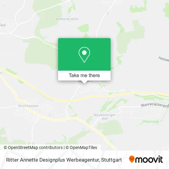
See Ritter Annette Designplus Werbeagentur, Heilbronn, on the map
Public Transit to Ritter Annette Designplus Werbeagentur in Heilbronn
Wondering how to get to Ritter Annette Designplus Werbeagentur in Heilbronn? Moovit helps you find the best way to get to Ritter Annette Designplus Werbeagentur with step-by-step directions from the nearest public transit station.
Moovit provides free maps and live directions to help you navigate through your city. View schedules, routes, timetables, and find out how long does it take to get to Ritter Annette Designplus Werbeagentur in real time.
Looking for the nearest stop or station to Ritter Annette Designplus Werbeagentur? Check out this list of stops closest to your destination: Biberach Weirachstraße; Biberach Alter Friedhof.
Bus: 31, 670, 682, 8, 688, 689.
Want to see if there’s another route that gets you there at an earlier time? Moovit helps you find alternative routes or times. Get directions from and directions to Ritter Annette Designplus Werbeagentur easily from the Moovit App or Website.
We make riding to Ritter Annette Designplus Werbeagentur easy, which is why over 1.5 million users, including users in Heilbronn, trust Moovit as the best app for public transit. You don’t need to download an individual bus app or train app, Moovit is your all-in-one transit app that helps you find the best bus time or train time available.
For information on prices of bus and train, costs and ride fares to Ritter Annette Designplus Werbeagentur, please check the Moovit app.
Use the app to navigate to popular places including to the airport, hospital, stadium, grocery store, mall, coffee shop, school, college, and university.
Ritter Annette Designplus Werbeagentur Address: Karl-May-Straße 3 Biberach, 74078 Heilbronn street in Heilbronn
- Städt. Kindergarten Maustal,
- Städt. Kindertagesstätte Familienzentrum Olgakrippe Kindergarten,
- Kindergarten Maustal,
- Maxholder Mediendesign,
- Kath. St. Cornelius und Cypria,
- Erhard-Schnepf-Platz,
- Annik-Elektro & Elektroinstallationen,
- Katholische Pfarrkirche St. Cornelius Und Cyprian,
- Rudi Kaufmann,
- Spielplatz Maustal,
- Kaufmann Flaschnerei,
- Loretta Vass Premium,
- Evangelisches Pfarramt Biberach,
- Über dem Salzgrund,
- Pfarramt Biberach, Pfarrer Mayer,
- Konfi,
- Kirche,
- Verein zur Förderung,
- Dino,
- Evangelischen Jugendwerk Heilbronn
Places Near Ritter Annette Designplus Werbeagentur (Heilbronn)
- Wilhelma (U-Bahn Wilhelma), Bad Cannstatt,
- Porsche-Arena, Bad Cannstatt,
- Hanns-Martin-Schleyer-Halle, Bad Cannstatt,
- Gasometer Pforzheim, Pforzheim,
- Mercedes-Benz Museum, Bad Cannstatt,
- Gleis 101/102 (tief), Stuttgart-Mitte,
- Hauptbahnhof Stuttgart, Stuttgart-Mitte,
- Porsche Museum, Zuffenhausen,
- FlixBus Haltestelle, Stuttgart,
- Mettingen Eros-Center Puff Laufhaus, Esslingen Am Neckar,
- Marmorsaal Im Weissenburgpark, Stuttgart-Süd,
- Geilhaus Haus 33a, Reutlingen-Betzingen,
- Mercedes-Benz Museum (Mercedes Museum Stuttgart), Bad Cannstatt,
- Im Wizemann (Halle), Bad Cannstatt,
- SI-Centrum, Möhringen,
- Pariser Platz Stuttgart, Stuttgart-Mitte,
- Hanns-Martin-Schleyer-Halle (Stuttgart Hans-Martin-Schleyerhalle), Bad Cannstatt,
- Klinikum Stuttgart - Katharinenhospital, Stuttgart-Mitte,
- Waldfriedhof, Degerloch,
- Schleyerhalle, Bad Cannstatt
How to get to popular places in Stuttgart with public transit
Get around Heilbronn by public transit!
Traveling around Heilbronn has never been so easy. See step by step directions as you travel to any attraction, street or major public transit station. View bus and train schedules, arrival times, service alerts and detailed routes on a map, so you know exactly how to get to anywhere in Heilbronn.
When traveling to any destination around Heilbronn use Moovit's Live Directions with Get Off Notifications to know exactly where and how far to walk, how long to wait for your line, and how many stops are left. Moovit will alert you when it's time to get off — no need to constantly re-check whether yours is the next stop.
Wondering how to use public transit in Heilbronn or how to pay for public transit in Heilbronn? Moovit public transit app can help you navigate your way with public transit easily, and at minimum cost. It includes public transit fees, ticket prices, and costs. Looking for a map of Heilbronn public transit lines? Moovit public transit app shows all public transit maps in Heilbronn with all Bus, Train, Subway, Light Rail, Ferry, S-Bahn and Funicular routes and stops on an interactive map.
Stuttgart has 7 transit type(s), including: Bus, Train, Subway, Light Rail, Ferry, S-Bahn and Funicular, operated by several transit agencies, including SSB - Stadtbahn, SSB, SSB - Seilbahn / Zacke, S-Bahn Stuttgart, Rhein-Neckar-Verkehr GmbH (rnv), Karlsruher Verkehrsverbund, DB AG, DB Regiobus BW, Arverio Baden-Württemberg GmbH, DB RegioNetz Verkehrs GmbH Westfrankenbahn, DB Regio AG Baden-Württemberg, Südwestdeutsche Verkehrs-AG, DB Regio AG Mitte Region Hessen, DB and Bodensee-Oberschwaben-Bahn