Directions to River's Edge Farm Soccer Fields (Washington, D.C. - Baltimore, MD) with public transportation
The following transit lines have routes that pass near River's Edge Farm Soccer Fields
 Bus: 515, NORTH FREDERICK SHUTTLE.
How to get to River's Edge Farm Soccer Fields by bus?
Click on the bus route to see step by step directions with maps, line arrival times and updated time schedules.
From Kaiser Permanente - Gaithersburg Medical Center, Montgomery County
162 minFrom Montgomery Village, Maryland, Montgomery County
142 minFrom Astrazeneca HQ, Montgomery County
138 minFrom Kentlands, Montgomery County
135 minFrom Clarksburg Premium Outlets, Montgomery County
182 minFrom Montgomery County Fairgrounds, Montgomery County
160 minFrom Walmart Supercenter, Montgomery County
184 minFrom Clarksburg Premium Outlets, Montgomery County
357 min
Bus stop near River's Edge Farm Soccer Fields in Washington, D.C. - Baltimore, MD
- Latham Drive at Wheyfield Drive (Dearbought), 6 min walk,VIEW
Bus lines to River's Edge Farm Soccer Fields in Washington, D.C. - Baltimore, MD
- NORTH FREDERICK SHUTTLE, Walmart,VIEW
What are the closest stations to River's Edge Farm Soccer Fields?
The closest stations to River's Edge Farm Soccer Fields are:
- Latham Drive at Wheyfield Drive (Dearbought) is 447 yards away, 6 min walk.
Which bus line stops near River's Edge Farm Soccer Fields?
515 (515/7 North Frederick Park & Ride)
What’s the nearest bus station to River's Edge Farm Soccer Fields in Washington, D.C. - Baltimore, MD?
The nearest bus station to River's Edge Farm Soccer Fields in Washington, D.C. - Baltimore, MD is Latham Drive at Wheyfield Drive (Dearbought). It’s a 6 min walk away.
What time is the first bus to River's Edge Farm Soccer Fields in Washington, D.C. - Baltimore, MD?
The NORTH FREDERICK SHUTTLE is the first bus that goes to River's Edge Farm Soccer Fields in Washington, D.C. - Baltimore, MD. It stops nearby at 9:08 AM.
What time is the last bus to River's Edge Farm Soccer Fields in Washington, D.C. - Baltimore, MD?
The NORTH FREDERICK SHUTTLE is the last bus that goes to River's Edge Farm Soccer Fields in Washington, D.C. - Baltimore, MD. It stops nearby at 5:08 PM.
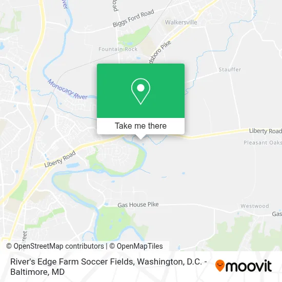
See River's Edge Farm Soccer Fields, Washington, D.C. - Baltimore, MD, on the map
Public Transit to River's Edge Farm Soccer Fields in Washington, D.C. - Baltimore, MD
Wondering how to get to River's Edge Farm Soccer Fields in Washington, D.C. - Baltimore, MD? Moovit helps you find the best way to get to River's Edge Farm Soccer Fields with step-by-step directions from the nearest public transit station.
Moovit provides free maps and live directions to help you navigate through your city. View schedules, routes, timetables, and find out how long does it take to get to River's Edge Farm Soccer Fields in real time.
Looking for the nearest stop or station to River's Edge Farm Soccer Fields? Check out this list of stops closest to your destination: Latham Drive at Wheyfield Drive (Dearbought).
Bus: 515, NORTH FREDERICK SHUTTLE.
Want to see if there’s another route that gets you there at an earlier time? Moovit helps you find alternative routes or times. Get directions from and directions to River's Edge Farm Soccer Fields easily from the Moovit App or Website.
We make riding to River's Edge Farm Soccer Fields easy, which is why over 1.7 million users, including users in Washington, D.C. - Baltimore, MD, trust Moovit as the best app for public transit. You don’t need to download an individual bus app or train app, Moovit is your all-in-one transit app that helps you find the best bus time or train time available.
For information on prices of bus, costs and ride fares to River's Edge Farm Soccer Fields, please check the Moovit app.
Use the app to navigate to popular places including to the airport, hospital, stadium, grocery store, mall, coffee shop, school, college, and university.
River's Edge Farm Soccer Fields Address: 8707 Liberty Rd street in Washington, D.C. - Baltimore, MD
- National Cancer Institute - Frederick,
- The Village 55+ Apartments at Worman's Mill,
- Walmart,
- Walmart Supercenter,
- Bainbridge Market Commons,
- Fort Detrick,
- Wegmans,
- Monocacy Boulevard Park & Ride,
- Mount Pleasant Reformed Church,
- Frederick Kubota And Equipment,
- Gutter Guys,
- Home Amusement Co,
- East Coast Doors,
- Frederick Equipment (Frederick Kubota & Equipment),
- Rippeon Equipment,
- Rippeon Equipment Company,
- Monocacy Valley Montessori Public Charter School,
- Mark T. Birns, Md, Facg, Facp, Agaf,
- Stephen J. Park, Md, Facg, Agaf,
- T.P. Sivakumar
Places Near River's Edge Farm Soccer Fields (Washington, D.C. - Baltimore, MD)
- The Anthem, Washington,
- National Zoo, Washington,
- Camden Yards, Baltimore,
- Museum Of The Bible, Washington,
- M&T Bank Stadium, Baltimore,
- Georgetown, Washington,
- National Museum of African American History and Culture, Washington,
- Pennsylvania Ave NW (3rd st and pennsylvania), Washington,
- PG Mall, Prince George's County,
- Warner Theatre, Washington,
- Marriott Marquis Washington, DC, Washington,
- Amazon Hq2, Arlington County,
- National Theatre, Washington,
- Sibley Memorial Hospital, Washington,
- Westfield Montgomery Mall, Montgomery County,
- Capital One Arena, Washington,
- Basilica of the National Shrine, Washington,
- Rock Creek Tennis Center, Washington,
- Washington National Cathedral, Washington,
- Washington DC VA Medical Center, Washington
How to get to popular places in Washington, D.C. - Baltimore, MD with public transit
Get around Washington, D.C. - Baltimore, MD by public transit!
Traveling around Washington, D.C. - Baltimore, MD has never been so easy. See step by step directions as you travel to any attraction, street or major public transit station. View bus and train schedules, arrival times, service alerts and detailed routes on a map, so you know exactly how to get to anywhere in Washington, D.C. - Baltimore, MD.
When traveling to any destination around Washington, D.C. - Baltimore, MD use Moovit's Live Directions with Get Off Notifications to know exactly where and how far to walk, how long to wait for your line, and how many stops are left. Moovit will alert you when it's time to get off — no need to constantly re-check whether yours is the next stop.
Wondering how to use public transit in Washington, D.C. - Baltimore, MD or how to pay for public transit in Washington, D.C. - Baltimore, MD? Moovit public transit app can help you navigate your way with public transit easily, and at minimum cost. It includes public transit fees, ticket prices, and costs. Looking for a map of Washington, D.C. - Baltimore, MD public transit lines? Moovit public transit app shows all public transit maps in Washington, D.C. - Baltimore, MD with all Bus, Train, Metro, Light Rail and Ferry routes and stops on an interactive map.
Washington, D.C. - Baltimore, MD has 5 transit type(s), including: Bus, Train, Metro, Light Rail and Ferry, operated by several transit agencies, including WMATA, Montgomery County Ride On, Fairfax Connector, TheBus, PRTC, DASH - Alexandria, Arlington Transit (ART), RTA of Central Maryland, MDOT MTA, MDOT MTA Light RailLink, MDOT MTA Commuter Bus, MDOT MTA Local Bus, FXBGO!, Virginia Railway Express (VRE) and MARC