How to get to Riverside Cleaners by train?
Click on the train route to see step by step directions with maps, line arrival times and updated time schedules.
Train station near Riverside Cleaners in Hackettstown
- Hackettstown, 28 min walk,VIEW
What are the closest stations to Riverside Cleaners?
The closest stations to Riverside Cleaners are:
- Hackettstown is 2352 yards away, 28 min walk.
Which train line stops near Riverside Cleaners?
MEL (Dover)
What’s the nearest train station to Riverside Cleaners in Hackettstown?
The nearest train station to Riverside Cleaners in Hackettstown is Hackettstown. It’s a 28 min walk away.
What time is the first train to Riverside Cleaners in Hackettstown?
The ML is the first train that goes to Riverside Cleaners in Hackettstown. It stops nearby at 5:02 AM.
What time is the last train to Riverside Cleaners in Hackettstown?
The ML is the last train that goes to Riverside Cleaners in Hackettstown. It stops nearby at 11:04 PM.
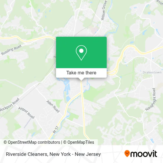
See Riverside Cleaners, Hackettstown, on the map
Public Transit to Riverside Cleaners in Hackettstown
Wondering how to get to Riverside Cleaners in Hackettstown? Moovit helps you find the best way to get to Riverside Cleaners with step-by-step directions from the nearest public transit station.
Moovit provides free maps and live directions to help you navigate through your city. View schedules, routes, timetables, and find out how long does it take to get to Riverside Cleaners in real time.
Looking for the nearest stop or station to Riverside Cleaners? Check out this list of stops closest to your destination: Hackettstown.
Train: MEL, ML.
Want to see if there’s another route that gets you there at an earlier time? Moovit helps you find alternative routes or times. Get directions from and directions to Riverside Cleaners easily from the Moovit App or Website.
We make riding to Riverside Cleaners easy, which is why over 1.5 million users, including users in Hackettstown, trust Moovit as the best app for public transit. You don’t need to download an individual bus app or train app, Moovit is your all-in-one transit app that helps you find the best bus time or train time available.
For information on prices of train and bus, costs and ride fares to Riverside Cleaners, please check the Moovit app.
Use the app to navigate to popular places including to the airport, hospital, stadium, grocery store, mall, coffee shop, school, college, and university.
Riverside Cleaners Address: 12 Mall Lowe's Dr street in Hackettstown
- Suzie Clean Laundromat,
- Raceway Petroleum,
- Spirit Halloween,
- Aldi,
- Sun Ki Do Martial Arts,
- Atlantic Health Urgent Care,
- The Ice Shanty,
- Riverside Kids Gym,
- Spirit Halloween,
- Jersey Discs,
- Salon Jimarjo,
- Panther Junk Removal,
- Mountain Medical - Primary Care Partners Affiliate,
- Brothers Auto Glass,
- Hackettstown Baptist Church,
- Feed Your Soul Spa,
- Spirit Halloween,
- Hear Pa, Llc,
- Neuro Specialists Morris,
- Kid Talk Counseling
Places Near Riverside Cleaners (Hackettstown)
- 3 Stone St, Manhattan,
- Queens Center Mall, Queens,
- Pier 83, Manhattan,
- 66 John Street, Manhattan,
- San Gennaro Feast, Manhattan,
- Wall Street, Manhattan,
- Bellevue Hospital, Manhattan,
- Hudson Yards, Manhattan,
- Times Square, Manhattan,
- Katz's Deli, Manhattan,
- 26 Federal Plaza, Manhattan,
- Chinatown, Manhattan,
- 1 Police Plaza, Manhattan,
- 376 Hudson Street, Manhattan,
- SoHo, Manhattan,
- Rockefeller Center, Manhattan,
- 111 Centre New York City Supreme Court, Manhattan,
- Mountainside Hospital, Glen Ridge,
- qqqq, Manhattan,
- 911 Memorial, Manhattan
How to get to popular places in New York - New Jersey with public transit
Get around Hackettstown by public transit!
Traveling around Hackettstown has never been so easy. See step by step directions as you travel to any attraction, street or major public transit station. View bus and train schedules, arrival times, service alerts and detailed routes on a map, so you know exactly how to get to anywhere in Hackettstown.
When traveling to any destination around Hackettstown use Moovit's Live Directions with Get Off Notifications to know exactly where and how far to walk, how long to wait for your line, and how many stops are left. Moovit will alert you when it's time to get off — no need to constantly re-check whether yours is the next stop.
Wondering how to use public transit in Hackettstown or how to pay for public transit in Hackettstown? Moovit public transit app can help you navigate your way with public transit easily, and at minimum cost. It includes public transit fees, ticket prices, and costs. Looking for a map of Hackettstown public transit lines? Moovit public transit app shows all public transit maps in Hackettstown with all Bus, Train, Subway, Light Rail, Ferry and Cable Car routes and stops on an interactive map.
New York - New Jersey has 6 transit type(s), including: Bus, Train, Subway, Light Rail, Ferry and Cable Car, operated by several transit agencies, including MTA Subway, Metro-North Railroad, LIRR, PATH, MTA New York City Transit - Express routes, MTA Bus, NJ Transit, NYC Ferry, NICE bus, Bee-Line Bus, NJ Transit Rail, Norwalk Transit District, Hartford Line, River Valley Transit and HART