Directions to Riverside Democratic Club (Baltimore County) with public transportation
The following transit lines have routes that pass near Riverside Democratic Club
 Bus: 59, 62, CITYLINK ORANGE, 40, 160.
How to get to Riverside Democratic Club by bus?
Click on the bus route to see step by step directions with maps, line arrival times and updated time schedules.
From Canton, Baltimore
66 minFrom Baltimore Marriott Waterfront, Baltimore
60 minFrom Amazon Fulfillment Center-DCA1, Baltimore County
63 minFrom Eastern Ave (eastern avenue and dundalk av), Baltimore
25 minFrom Megabus Stop - White Marsh Park & Ride, Baltimore County
59 minFrom Good Samaritan Hospital, Baltimore
72 minFrom Harford Road, Baltimore
61 minFrom Pier Six Pavilion, Baltimore
60 minFrom Power Plant Live, Baltimore
51 minFrom Giant Food Stores, Baltimore
70 min
Bus stops near Riverside Democratic Club in Baltimore County
Bus lines to Riverside Democratic Club in Baltimore County
What are the closest stations to Riverside Democratic Club?
The closest stations to Riverside Democratic Club are:
- Eastern Blvd & Mace Ave Wb is 241 yards away, 4 min walk.
- Eastern Blvd & Taylor Ave Wb is 996 yards away, 12 min walk.
- Eastern Blvd & Essex Park & Ride Wb is 1008 yards away, 12 min walk.
Which bus lines stop near Riverside Democratic Club?
These bus lines stop near Riverside Democratic Club: 59, 62, CITYLINK ORANGE.
What’s the nearest bus station to Riverside Democratic Club in Baltimore County?
The nearest bus station to Riverside Democratic Club in Baltimore County is Eastern Blvd & Mace Ave Wb. It’s a 4 min walk away.
What time is the first bus to Riverside Democratic Club in Baltimore County?
The CITYLINK ORANGE is the first bus that goes to Riverside Democratic Club in Baltimore County. It stops nearby at 3:44 AM.
What time is the last bus to Riverside Democratic Club in Baltimore County?
The CITYLINK ORANGE is the last bus that goes to Riverside Democratic Club in Baltimore County. It stops nearby at 2:57 AM.
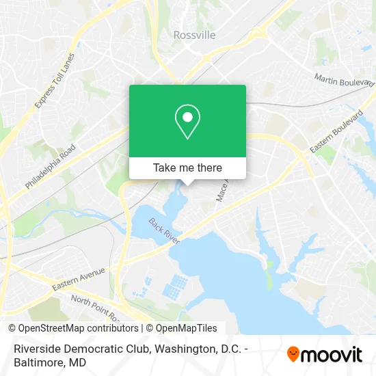
See Riverside Democratic Club, Baltimore County, on the map
Public Transit to Riverside Democratic Club in Baltimore County
Wondering how to get to Riverside Democratic Club in Baltimore County? Moovit helps you find the best way to get to Riverside Democratic Club with step-by-step directions from the nearest public transit station.
Moovit provides free maps and live directions to help you navigate through your city. View schedules, routes, timetables, and find out how long does it take to get to Riverside Democratic Club in real time.
Looking for the nearest stop or station to Riverside Democratic Club? Check out this list of stops closest to your destination: Eastern Blvd & Mace Ave Wb; Eastern Blvd & Taylor Ave Wb; Eastern Blvd & Essex Park & Ride Wb.
Bus: 59, 62, CITYLINK ORANGE, 40, 160.
Want to see if there’s another route that gets you there at an earlier time? Moovit helps you find alternative routes or times. Get directions from and directions to Riverside Democratic Club easily from the Moovit App or Website.
We make riding to Riverside Democratic Club easy, which is why over 1.7 million users, including users in Baltimore County, trust Moovit as the best app for public transit. You don’t need to download an individual bus app or train app, Moovit is your all-in-one transit app that helps you find the best bus time or train time available.
For information on prices of bus, costs and ride fares to Riverside Democratic Club, please check the Moovit app.
Use the app to navigate to popular places including to the airport, hospital, stadium, grocery store, mall, coffee shop, school, college, and university.
Riverside Democratic Club Address: VFW Essex Memorial Post No 2621, 206 Riverside Rd street in Baltimore County
- Cigar Tom’S Cue Club,
- Essex, Maryland,
- Eastern Blvd & Essex Park & Ride WB,
- J. R. Tees Tavern,
- Santi Private Nursing Care,
- Clark Machine Corporation,
- Tienda Naturista Playa Ventura,
- Cossentino Contracting Co,
- Barbell Barbers,
- Wholemax Performance,
- Amy Caprio Classic,
- Arb Blanks,
- Global Tire Shop,
- Hopkins Merchant Services,
- Eastern Technical High School,
- James River Equipment,
- Products by Chesapeake Inc,
- Cardinal Net Waste,
- Optihealth Institute,
- Head2toe Bodywork And Skin Care
Places Near Riverside Democratic Club (Baltimore County)
- Museum Of The Bible, Washington,
- Basilica of the National Shrine, Washington,
- Rock Creek Tennis Center, Washington,
- Camden Yards, Baltimore,
- PG Mall, Prince George's County,
- Capital One Arena, Washington,
- Sibley Memorial Hospital, Washington,
- National Theatre, Washington,
- Washington DC VA Medical Center, Washington,
- Warner Theatre, Washington,
- Pennsylvania Ave NW (3rd st and pennsylvania), Washington,
- Marriott Marquis Washington, DC, Washington,
- Georgetown, Washington,
- National Museum of African American History and Culture, Washington,
- National Zoo, Washington,
- The Anthem, Washington,
- Washington National Cathedral, Washington,
- Amazon Hq2, Arlington County,
- Westfield Montgomery Mall, Montgomery County,
- M&T Bank Stadium, Baltimore
How to get to popular places in Washington, D.C. - Baltimore, MD with public transit
Get around Baltimore County by public transit!
Traveling around Baltimore County has never been so easy. See step by step directions as you travel to any attraction, street or major public transit station. View bus and train schedules, arrival times, service alerts and detailed routes on a map, so you know exactly how to get to anywhere in Baltimore County.
When traveling to any destination around Baltimore County use Moovit's Live Directions with Get Off Notifications to know exactly where and how far to walk, how long to wait for your line, and how many stops are left. Moovit will alert you when it's time to get off — no need to constantly re-check whether yours is the next stop.
Wondering how to use public transit in Baltimore County or how to pay for public transit in Baltimore County? Moovit public transit app can help you navigate your way with public transit easily, and at minimum cost. It includes public transit fees, ticket prices, and costs. Looking for a map of Baltimore County public transit lines? Moovit public transit app shows all public transit maps in Baltimore County with all Bus, Train, Metro, Light Rail and Ferry routes and stops on an interactive map.
Washington, D.C. - Baltimore, MD has 5 transit type(s), including: Bus, Train, Metro, Light Rail and Ferry, operated by several transit agencies, including WMATA, Montgomery County Ride On, Fairfax Connector, TheBus, PRTC, DASH - Alexandria, Arlington Transit (ART), RTA of Central Maryland, MDOT MTA, MDOT MTA Light RailLink, MDOT MTA Commuter Bus, MDOT MTA Local Bus, FXBGO!, Virginia Railway Express (VRE) and MARC