How to get to Riverside Research by bus?
Click on the bus route to see step by step directions with maps, line arrival times and updated time schedules.
From Mayweather Boxing Club, Paradise
36 minFrom Spring Mountain Rd / S Valley View Blvd, Paradise
34 minFrom Merit Repair&Service, Spring Valley
51 minFrom Adult World, Las Vegas
54 minFrom Circus Circus, Las Vegas
56 minFrom S Valley View Blvd / W Charleston Blvd, Las Vegas
44 minFrom Blueberry Hill Family Restaurant, Las Vegas
53 minFrom Alura Jenson, Paradise
57 minFrom Embroidery Amazing, Paradise
54 min
Bus stops near Riverside Research in Las Vegas
Bus lines to Riverside Research in Las Vegas
What are the closest stations to Riverside Research?
The closest stations to Riverside Research are:
- Nb Fort Apache After Mariner Cove is 338 yards away, 5 min walk.
- Wb Desert Inn After Grand Canyon is 406 yards away, 5 min walk.
Which bus lines stop near Riverside Research?
These bus lines stop near Riverside Research: 120, 203.
What’s the nearest bus station to Riverside Research in Las Vegas?
The nearest bus stations to Riverside Research in Las Vegas are Nb Fort Apache After Mariner Cove and Wb Desert Inn After Grand Canyon. The closest one is a 5 min walk away.
What time is the first bus to Riverside Research in Las Vegas?
The 203 is the first bus that goes to Riverside Research in Las Vegas. It stops nearby at 3:50 AM.
What time is the last bus to Riverside Research in Las Vegas?
The 203 is the last bus that goes to Riverside Research in Las Vegas. It stops nearby at 1:46 AM.
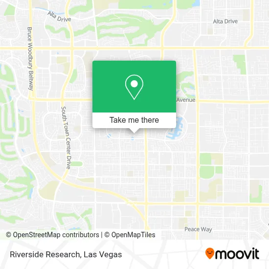
See Riverside Research, Las Vegas, on the map
Public Transit to Riverside Research in Las Vegas
Wondering how to get to Riverside Research in Las Vegas? Moovit helps you find the best way to get to Riverside Research with step-by-step directions from the nearest public transit station.
Moovit provides free maps and live directions to help you navigate through your city. View schedules, routes, timetables, and find out how long does it take to get to Riverside Research in real time.
Looking for the nearest stop or station to Riverside Research? Check out this list of stops closest to your destination: Nb Fort Apache After Mariner Cove; Wb Desert Inn After Grand Canyon.
Bus: 120, 203.
Want to see if there’s another route that gets you there at an earlier time? Moovit helps you find alternative routes or times. Get directions from and directions to Riverside Research easily from the Moovit App or Website.
We make riding to Riverside Research easy, which is why over 1.7 million users, including users in Las Vegas, trust Moovit as the best app for public transit. You don’t need to download an individual bus app or train app, Moovit is your all-in-one transit app that helps you find the best bus time or train time available.
For information on prices of bus, costs and ride fares to Riverside Research, please check the Moovit app.
Use the app to navigate to popular places including to the airport, hospital, stadium, grocery store, mall, coffee shop, school, college, and university.
Riverside Research Address: 3129 Stern Dr street in Las Vegas
- Antelope Canyon Pro,
- S Fort Apache Rd / Spring Mountain Rd,
- Spring Mountain Road & Fort Apache Road,
- Coinstar,
- Sahara Ave & Fort Apache Rd,
- Biolife Plasma Services,
- Dollar Tree,
- Clark County Library District,
- City of Hope,
- Anthem,
- W Sahara Ave / S Hualapai Way,
- Lake Sahara (North Side Park),
- Lake Tahoe,
- Appliance Repair Las Vegas,
- Saxxy's BBQ Sauce,
- Korman Overhead Doors,
- Dr. Sandra Lee,
- 98 Cent Super Store, Las Vegas, NV,
- Neko Anko,
- I-215 & W Flamingo Rd
Places Near Riverside Research (Las Vegas)
- The Deuce Bus Stop at Fremont St, Las Vegas,
- The Palms Casino Resort, Paradise,
- Las Vegas South Premium Outlets, Enterprise,
- Gold & Silver Pawn Shop, Las Vegas,
- Area15, Las Vegas,
- Koolsville Tattoos, Las Vegas,
- Welcome To Fabulous Las Vegas Sign, Paradise,
- Town Square, Enterprise,
- Trump International Hotel Las Vegas, Paradise,
- Walmart Supercenter, Las Vegas,
- Lee Canyon, Las Vegas,
- Meow Wolf - Las Vegas (Meow Wolf's Omega Mart), Las Vegas,
- Walmart, Las Vegas,
- Las Vegas Premium Outlets-North, Enterprise,
- Las Vegas North Premium Outlets, Las Vegas,
- The Neon Museum, Las Vegas,
- Zak Bagans Haunted Museum, Las Vegas,
- Omega Mart, Las Vegas,
- Allegiant Stadium, Paradise,
- Arte Museum Las Vegas, Paradise
How to get to popular places in Las Vegas with public transit
Get around Las Vegas by public transit!
Traveling around Las Vegas has never been so easy. See step by step directions as you travel to any attraction, street or major public transit station. View bus and train schedules, arrival times, service alerts and detailed routes on a map, so you know exactly how to get to anywhere in Las Vegas.
When traveling to any destination around Las Vegas use Moovit's Live Directions with Get Off Notifications to know exactly where and how far to walk, how long to wait for your line, and how many stops are left. Moovit will alert you when it's time to get off — no need to constantly re-check whether yours is the next stop.
Wondering how to use public transit in Las Vegas or how to pay for public transit in Las Vegas? Moovit public transit app can help you navigate your way with public transit easily, and at minimum cost. It includes public transit fees, ticket prices, and costs. Looking for a map of Las Vegas public transit lines? Moovit public transit app shows all public transit maps in Las Vegas with all Bus and Monorail routes and stops on an interactive map.
Las Vegas has 2 transit type(s), including: Bus and Monorail, operated by several transit agencies, including RTCSNV, City of Las Vegas, Alvand Transportation, Vegas Airporter, Las Vegas Monorail, FlixBus-us and Greyhound-us