Directions to Riya Travel (Queens) with public transportation
The following transit lines have routes that pass near Riya Travel
 Bus: Q36, Q46, Q48, QM6, QM36.
- Train: PORT JEFFERSON BRANCH, HEMPSTEAD BRANCH, RONKONKOMA BRANCH, PORT WASHINGTON BRANCH.
How to get to Riya Travel by bus?
Click on the bus route to see step by step directions with maps, line arrival times and updated time schedules.
From Queens Criminal Court, Queens
44 minFrom 30-56 Whitestone Expwy, Queens
70 minFrom Louis Armstrong Stadium, Queens
69 minFrom College Point, Queens
84 minFrom Flushing Meadows-Corona Park, Queens
61 minFrom Cxx, Queens
48 minFrom DMV, Queens
67 minFrom Jamaica, Queens
46 minFrom 163-03 Horace Harding Expressway, Queens
35 minFrom Kew Gardens, NY, Queens
46 min
How to get to Riya Travel by train?
Click on the train route to see step by step directions with maps, line arrival times and updated time schedules.
Bus stops near Riya Travel in Queens
Train stations near Riya Travel in Queens
Bus lines to Riya Travel in Queens
What are the closest stations to Riya Travel?
The closest stations to Riya Travel are:
- Union Tpke/248 St is 21 yards away, 1 min walk.
- Union Tpke/Commonwealth Blvd is 266 yards away, 4 min walk.
- Little Neck Pkwy/Union Tpke is 467 yards away, 6 min walk.
- Queens Village is 1944 yards away, 23 min walk.
- Douglaston is 4810 yards away, 58 min walk.
Which bus lines stop near Riya Travel?
These bus lines stop near Riya Travel: Q36, Q46, Q48.
Which train line stops near Riya Travel?
PORT JEFFERSON BRANCH (Port Jefferson)
What’s the nearest train station to Riya Travel in Queens?
The nearest train station to Riya Travel in Queens is Queens Village. It’s a 23 min walk away.
What’s the nearest bus station to Riya Travel in Queens?
The nearest bus station to Riya Travel in Queens is Union Tpke/248 St. It’s a 1 min walk away.
What time is the first train to Riya Travel in Queens?
The HEMPSTEAD BRANCH is the first train that goes to Riya Travel in Queens. It stops nearby at 3:09 AM.
What time is the last train to Riya Travel in Queens?
The HEMPSTEAD BRANCH is the last train that goes to Riya Travel in Queens. It stops nearby at 3:13 AM.
What time is the first bus to Riya Travel in Queens?
The Q46 is the first bus that goes to Riya Travel in Queens. It stops nearby at 3:36 AM.
What time is the last bus to Riya Travel in Queens?
The Q46 is the last bus that goes to Riya Travel in Queens. It stops nearby at 2:51 AM.
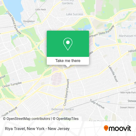
See Riya Travel, Queens, on the map
Public Transit to Riya Travel in Queens
Wondering how to get to Riya Travel in Queens? Moovit helps you find the best way to get to Riya Travel with step-by-step directions from the nearest public transit station.
Moovit provides free maps and live directions to help you navigate through your city. View schedules, routes, timetables, and find out how long does it take to get to Riya Travel in real time.
Looking for the nearest stop or station to Riya Travel? Check out this list of stops closest to your destination: Union Tpke/248 St; Union Tpke/Commonwealth Blvd; Little Neck Pkwy/Union Tpke; Queens Village; Douglaston.
Bus: Q36, Q46, Q48, QM6, QM36, Q43.Train: PORT JEFFERSON BRANCH, HEMPSTEAD BRANCH, RONKONKOMA BRANCH, PORT WASHINGTON BRANCH.
Want to see if there’s another route that gets you there at an earlier time? Moovit helps you find alternative routes or times. Get directions from and directions to Riya Travel easily from the Moovit App or Website.
We make riding to Riya Travel easy, which is why over 1.5 million users, including users in Queens, trust Moovit as the best app for public transit. You don’t need to download an individual bus app or train app, Moovit is your all-in-one transit app that helps you find the best bus time or train time available.
For information on prices of bus and train, costs and ride fares to Riya Travel, please check the Moovit app.
Use the app to navigate to popular places including to the airport, hospital, stadium, grocery store, mall, coffee shop, school, college, and university.
Riya Travel Address: 24821 Union Tpke street in Queens
- Dr. Wayne Burte,
- Haveli Indian Restaurant & Lounge,
- Majlis Lounge & Cafe,
- Adama's Pharmacy,
- Professional Accounting and Tax Consulting,
- The Blue Room Lounge,
- Shawarma Pita,
- Asian Bowl,
- Bellerose Cleaners,
- Sage Seeds,
- David M. Goldberg Dds,
- Oshiso Japanese Catering,
- Majlis Of NY,
- Jesus Come Alive,
- Queens Chamber,
- Riya the Travel Expert,
- Rikk Phoenix Tattoo,
- Pinky Ann Thomas,
- Irene Bella Photography,
- Bird Construction Io
Places Near Riya Travel (Queens)
- Pier 83, Manhattan,
- 26 Federal Plaza, Manhattan,
- qqqq, Manhattan,
- Times Square, Manhattan,
- Chinatown, Manhattan,
- 1 Police Plaza, Manhattan,
- Hudson Yards, Manhattan,
- Mountainside Hospital, Glen Ridge,
- Wall Street, Manhattan,
- Bellevue Hospital, Manhattan,
- Queens Center Mall, Queens,
- 3 Stone St, Manhattan,
- 911 Memorial, Manhattan,
- 111 Centre New York City Supreme Court, Manhattan,
- Katz's Deli, Manhattan,
- 66 John Street, Manhattan,
- SoHo, Manhattan,
- 376 Hudson Street, Manhattan,
- Rockefeller Center, Manhattan,
- San Gennaro Feast, Manhattan
How to get to popular places in New York - New Jersey with public transit
Get around Queens by public transit!
Traveling around Queens has never been so easy. See step by step directions as you travel to any attraction, street or major public transit station. View bus and train schedules, arrival times, service alerts and detailed routes on a map, so you know exactly how to get to anywhere in Queens.
When traveling to any destination around Queens use Moovit's Live Directions with Get Off Notifications to know exactly where and how far to walk, how long to wait for your line, and how many stops are left. Moovit will alert you when it's time to get off — no need to constantly re-check whether yours is the next stop.
Wondering how to use public transit in Queens or how to pay for public transit in Queens? Moovit public transit app can help you navigate your way with public transit easily, and at minimum cost. It includes public transit fees, ticket prices, and costs. Looking for a map of Queens public transit lines? Moovit public transit app shows all public transit maps in Queens with all Bus, Train, Subway, Light Rail, Ferry and Cable Car routes and stops on an interactive map.
New York - New Jersey has 6 transit type(s), including: Bus, Train, Subway, Light Rail, Ferry and Cable Car, operated by several transit agencies, including MTA Subway, Metro-North Railroad, LIRR, PATH, MTA New York City Transit - Express routes, MTA Bus, NJ Transit, NYC Ferry, NICE bus, Bee-Line Bus, NJ Transit Rail, Norwalk Transit District, Hartford Line, River Valley Transit and HART