How to get to Rm Club Annecy by bus?
Click on the bus route to see step by step directions with maps, line arrival times and updated time schedules.
Bus stops near Rm Club Annecy
Bus lines to Rm Club Annecy
What are the closest stations to Rm Club Annecy?
The closest stations to Rm Club Annecy are:
- Ajoncs is 204 meters away, 4 min walk.
- Longiret is 255 meters away, 4 min walk.
- Zi Cesardes is 541 meters away, 8 min walk.
- Seynod Piscine is 724 meters away, 10 min walk.
- Pre Rond is 749 meters away, 10 min walk.
Which bus lines stop near Rm Club Annecy?
These bus lines stop near Rm Club Annecy: 12, 4.
What’s the nearest bus station to Rm Club Annecy?
The nearest bus stations to Rm Club Annecy are Ajoncs and Longiret. The closest one is a 4 min walk away.
What time is the first bus to Rm Club Annecy?
The 4 is the first bus that goes to Rm Club Annecy. It stops nearby at 5:53 AM.
What time is the last bus to Rm Club Annecy?
The 3 is the last bus that goes to Rm Club Annecy. It stops nearby at 10:57 PM.
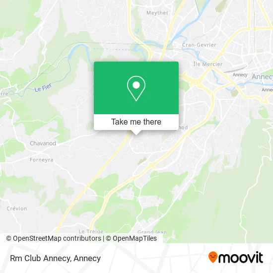
See Rm Club Annecy on the map
Public Transportation to Rm Club Annecy
Wondering how to get to Rm Club Annecy? Moovit helps you find the best way to get to Rm Club Annecy with step-by-step directions from the nearest public transit station.
Moovit provides free maps and live directions to help you navigate through your city. View schedules, routes, timetables, and find out how long does it take to get to Rm Club Annecy in real time.
Looking for the nearest stop or station to Rm Club Annecy? Check out this list of stops closest to your destination: Ajoncs; Longiret; Zi Cesardes; Seynod Piscine; Pre Rond.
Bus: 12, 4, 3, 27, 28.
Want to see if there’s another route that gets you there at an earlier time? Moovit helps you find alternative routes or times. Get directions from and directions to Rm Club Annecy easily from the Moovit App or Website.
We make riding to Rm Club Annecy easy, which is why over 1.5 million users, including users in Annecy, trust Moovit as the best app for public transit. You don’t need to download an individual bus app or train app, Moovit is your all-in-one transit app that helps you find the best bus time or train time available.
For information on prices of bus, costs and ride fares to Rm Club Annecy, please check the Moovit app.
Use the app to navigate to popular places including to the airport, hospital, stadium, grocery store, mall, coffee shop, school, college, and university.
Rm Club Annecy Address: 90 Chemin des Prés Bouvaux 74600 Annecy street in Annecy
- Bais Magalie,
- Cds Audit et Conseil,
- Garde-Corps en Inox Pour Terrasses, Balcons et Escaliers,
- O Grill 74,
- Compagnons du Tour de France Annecy Pays de Savoie,
- Fimor Electronics,
- Stecchino,
- Label Ouverture,
- Annecy Seynod,
- Technic Bureau,
- Sahira Food,
- Waterconcept,
- Bafa Paris,
- Réflex O Sens,
- Ei Hourriez Quentin,
- Église Saint-Martin,
- Aquasolution 74,
- Église Saint-Martin (Vieux Seynod),
- Notre Petit Paradis,
- Chez Has
Places Near Rm Club Annecy
- Centre Hospitalier Annecy, Annecy,
- Leroy Merlin, Annecy,
- Avenue de Genève, Annecy,
- Col de La Forclaz, Annecy,
- Basilique De La Visitation, Annecy,
- Seynod, Annecy,
- 27e Bataillon De Chasseurs Alpins, Annecy,
- Cran-Gevrier, Annecy,
- Les Gorges du Fier, Annecy,
- Lycée Charles Baudelaire, Annecy,
- Galeries Lafayette, Annecy,
- Lycée St Michel, Annecy,
- L'Impérial Palace, Annecy,
- Iut annecy, Annecy,
- 27 Bca, Annecy,
- Clinique Generale D'annecy, Annecy,
- Annecy-Le-Vieux, Annecy,
- Carrefour, Annecy,
- Centre Hospitalier Annecy-Genevois, Annecy,
- Leclerc, Annecy
How to get to popular places in Annecy with public transit
Get around Annecy by public transit!
Traveling around Annecy has never been so easy. See step by step directions as you travel to any attraction, street or major public transit station. View bus and train schedules, arrival times, service alerts and detailed routes on a map, so you know exactly how to get to anywhere in Annecy.
When traveling to any destination around Annecy use Moovit's Live Directions with Get Off Notifications to know exactly where and how far to walk, how long to wait for your line, and how many stops are left. Moovit will alert you when it's time to get off — no need to constantly re-check whether yours is the next stop.
Wondering how to use public transit in Annecy or how to pay for public transit in Annecy? Moovit public transit app can help you navigate your way with public transit easily, and at minimum cost. It includes public transit fees, ticket prices, and costs. Looking for a map of Annecy public transit lines? Moovit public transit app shows all public transit maps in Annecy with all bus routes and stops on an interactive map.
Annecy has 1 transit type(s), including: bus, operated by several transit agencies, including SIBRA